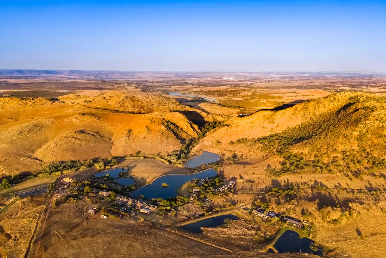
The Cradle of Humankind stretches across rolling hills, valleys and ancient landscapes northwest of Johannesburg, preserving one of the world’s most important fossil and archaeological regions.
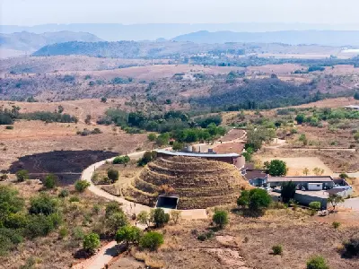
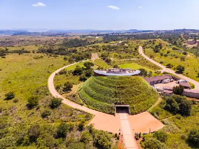
The Cradle of Humankind is a landscape of ancient dolomite hills, fossil-bearing cave systems and rolling Highveld grasslands extending across northwestern Gauteng. Designated as a UNESCO World Heritage Site, the region preserves one of the world's most significant records of human evolution, with discoveries spanning millions of years of hominin history. Beyond its archaeological importance, the landscape forms a distinctive network of ridges, sinkholes, valleys and open countryside on the edge of South Africa's largest urban region. The terrain is shaped by deeply weathered dolomite formations that dissolved over geological time to create an extensive underground cave network. Sites such as Sterkfontein, Swartkrans and Kromdraai emerged from these processes, while the surrounding landscape developed into a mosaic of grassland plateaus, rocky ridges and shallow valleys. The result is a landscape where geological history, archaeology and natural scenery are inseparably linked. Seasonal variation influences grassland colour, visibility and atmospheric conditions throughout the region. Winter produces crisp Highveld light and long-distance views across the dolomite ridges, while summer thunderstorms bring dramatic cloud formations, green grasslands and changing light conditions across the open terrain.
Gallery
Key POIs in Cradle of Humankind
Nearby Places
View all on mapWalter Sisulu National Botanical Garden
landmark — 15.1 km
Gauteng
Magaliesberg
landmark — 20.0 km
North West
Hartbeespoort Dam
water feature — 30.7 km
North West
Magaliesberg & Hartbeespoort
area district — 32.6 km
North West
Hartbeespoort Aerial Cableway
landmark — 32.8 km
North West
Johannesburg & Pretoria
area district — 33.2 km
Gauteng
Sandton Skyline
landmark — 35.3 km
Gauteng
Constitution Hill
landmark — 38.9 km
Gauteng
Overview
The Cradle of Humankind is structured around a broad karst landscape formed within the Malmani Dolomite, one of the oldest geological formations in southern Africa. The dissolution of these ancient rocks created caves, sinkholes and underground drainage systems that later preserved fossil deposits responsible for many of the region's globally significant discoveries. Unlike the neighbouring Magaliesberg, which is defined by dramatic quartzite mountain ridges, the Cradle is characterised by gently rolling terrain, isolated rocky outcrops and subtle elevation changes. This creates expansive views across grasslands and valleys, with cave systems often concealed beneath seemingly ordinary landscapes. The visual identity of the region is defined by the contrast between open Highveld scenery and hidden geological complexity. Grass-covered ridges, sinkhole depressions, dolomite cliffs and archaeological sites combine to create a landscape that is both scientifically important and visually distinctive within Gauteng.
Key photography subjects
- Fossil-bearing cave systems and heritage sites
- Dolomite ridges and karst landscapes
- Sinkholes, valleys and underground geological formations
- Rolling Highveld grasslands
- Sterkfontein and associated fossil localities
- Rural landscapes surrounding Maropeng
- Thunderstorms and atmospheric Highveld skies
Workshops in Cradle of Humankind
No upcoming workshops scheduled for Cradle of Humankind at this time.
Check back soon or explore other destinations.