01
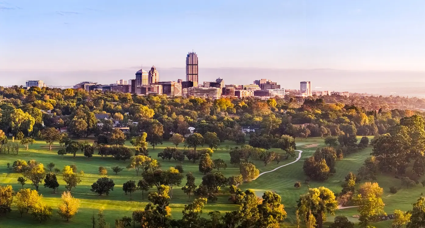
Sandton rises above Johannesburg's urban forest at sunrise, with Wanderers Golf Course and tree-lined suburbs stretching across Gauteng's Highveld landscape.
Gauteng
Johannesburg, Pretoria, and the Cradle of Humankind form the defining landscape system of Gauteng. The region combines South Africa's largest metropolitan area with rolling Highveld grasslands, historic settlements, ancient dolomite landscapes, and one of the world's most significant archaeological regions.
Unlike the mountain, coastal, or wilderness systems found elsewhere in South Africa, Gauteng is characterised by the interaction between human history and landscape. Gold-bearing ridges, grassland plains, urban skylines, river valleys, and fossil-rich limestone formations combine to create a region of exceptional historical and cultural importance.
As the economic and political centre of South Africa, Gauteng presents a unique landscape where natural history, human settlement, and modern urban development intersect.
Geographic discovery
Explore Gauteng by Area
Choose a part of Gauteng to discover its landscapes, photographic character, and locations.
Explore Areas in Gauteng
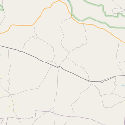
Cradle of Humankind
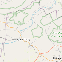
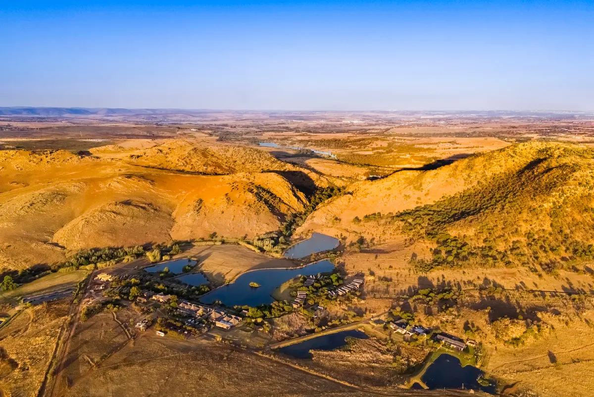
The Cradle of Humankind is structured around a broad karst landscape formed within the Malmani Dolomite, one of the oldest geological formations in southern Africa. The dissolution of these ancient rocks created caves, sinkholes and underground drainage systems that later preserved fossil deposits responsible for many of the region's globally significant discoveries. Unlike the neighbouring Magaliesberg, which is defined by dramatic quartzite mountain ridges, the Cradle is characterised by gently rolling terrain, isolated rocky outcrops and subtle elevation changes. This creates expansive views across grasslands and valleys, with cave systems often concealed beneath seemingly ordinary landscapes. The visual identity of the region is defined by the contrast between open Highveld scenery and hidden geological complexity. Grass-covered ridges, sinkhole depressions, dolomite cliffs and archaeological sites combine to create a landscape that is both scientifically important and visually distinctive within Gauteng.
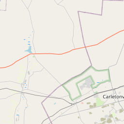
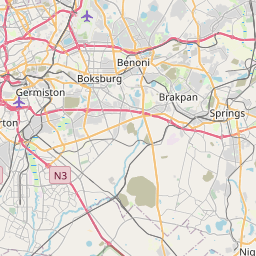
Gauteng Nature & Landscapes
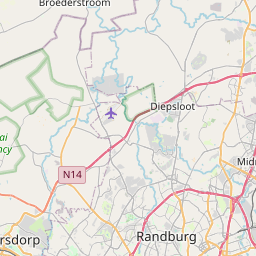
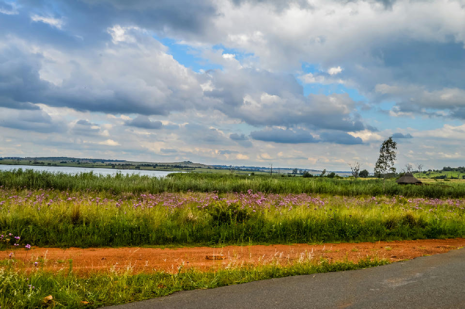
Gauteng Nature & Landscapes is structured around a network of protected reserves, bird sanctuaries, botanical gardens and remnant Highveld ecosystems distributed across the province. These landscapes preserve important examples of the grassland biome while protecting wetlands, river corridors and rocky ridge systems that support biodiversity within one of Africa's largest metropolitan regions. Each landscape contributes a different element to Gauteng's natural character. Rietvlei Nature Reserve preserves open grassland scenery, large mammals and wetland habitats south of Pretoria. Suikerbosrand protects one of the province's most extensive quartzite ridge systems, while Marievale Bird Sanctuary contains one of the most important wetland complexes in Gauteng. Walter Sisulu National Botanical Garden combines indigenous vegetation with cliffs, waterfalls and birdlife within a compact protected environment. The visual structure of the region is defined by broad open grasslands, seasonal wetlands and rugged ridgelines rising above the surrounding plateau. Water bodies attract abundant birdlife, indigenous vegetation creates seasonal colour variations and elevated viewpoints reveal expansive Highveld landscapes extending toward the horizon. Together these environments provide a natural counterpoint to the urban landscapes that dominate much of Gauteng.
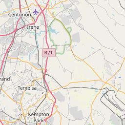
Johannesburg & Pretoria
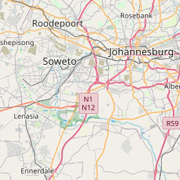
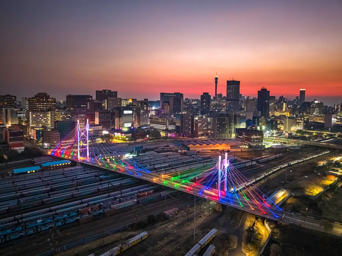
Johannesburg and Pretoria are structured around a network of urban centres, historic districts, ridgelines and green corridors extending across the central Highveld. The Witwatersrand ridge forms the geological backbone of Johannesburg, while Pretoria occupies a series of sheltered valleys and ridges further north. Together these landscapes support a diverse mixture of historic architecture, government precincts, modern commercial districts and expansive suburban environments. Each city possesses a distinct visual character. Johannesburg is defined by dense skylines, mining heritage, transport infrastructure and rapidly evolving urban districts. Pretoria is characterised by jacaranda-lined avenues, government buildings, diplomatic precincts and elevated viewpoints overlooking the surrounding city. The combination creates a metropolitan landscape unlike any other in South Africa. The visual structure of the region is defined by the contrast between urban development and the surrounding Highveld environment. Modern towers rise above historic neighbourhoods, urban forests soften residential districts and elevated ridges provide panoramic views across the metropolitan area. Seasonal thunderstorms, winter clarity and evening city lights further transform the appearance of the landscape throughout the year.
Photographic journey
Gauteng Photography Route
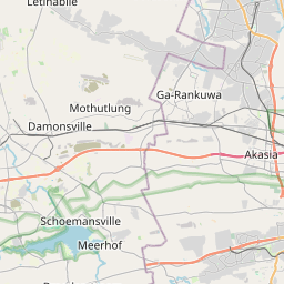
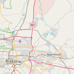
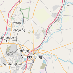
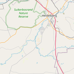
Gauteng Photographic Circuit · 13 stops
03
Sterkfontein Caves
06
Sandton Skyline
08
Voortrekker Monument
11
Gauteng Nature & Landscapes
13
Marievale Bird Sanctuary
Overview
The landscape is formed by the elevated Highveld plateau, where rolling grasslands and quartzite ridges stretch across the interior of South Africa. Ancient geological formations, including the fossil-bearing dolomite systems of the Cradle of Humankind, preserve evidence of some of the earliest human ancestors ever discovered.
To the south and west, Johannesburg developed along the gold-bearing Witwatersrand ridges, creating one of Africa's most recognisable urban skylines. To the north, Pretoria occupies a series of sheltered valleys and ridges, with jacaranda-lined suburbs and historic government buildings forming the visual identity of the city.
Photographically, the region works through contrast. Modern skylines rise above grassland plains, historic architecture sits alongside contemporary development, and ancient geological formations provide a connection to some of humanity's earliest origins. Seasonal thunderstorms, Highveld sunsets, and spring jacaranda blooms create the region's most distinctive photographic conditions.
Key Photography Subjects
- Johannesburg skyline and urban landscapes
- Union Buildings and Pretoria heritage architecture
- Jacaranda-lined streets and seasonal colour
- Cradle of Humankind geological landscapes
- Highveld grasslands and quartzite ridges
- Mining heritage and Witwatersrand history
- Thunderstorms, sunsets, and atmospheric Highveld skies
Gallery
Workshops in Gauteng
No upcoming workshops scheduled for Gauteng at this time.
Check back soon or explore other destinations.