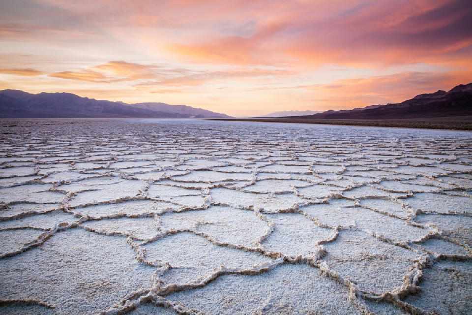
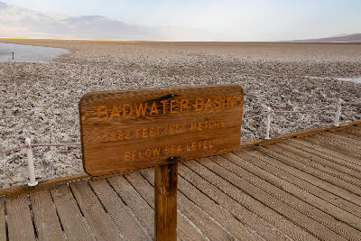
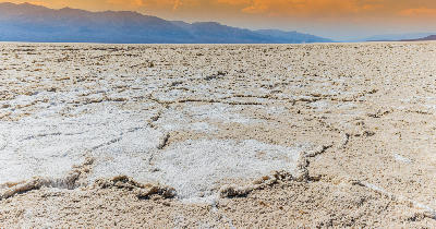
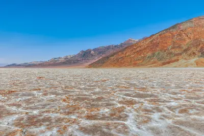
Sunset over polygon salt flats at Badwater Basin — the lowest point in North America with vast evaporated salt formations and desert mountain backdrops.
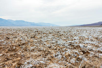
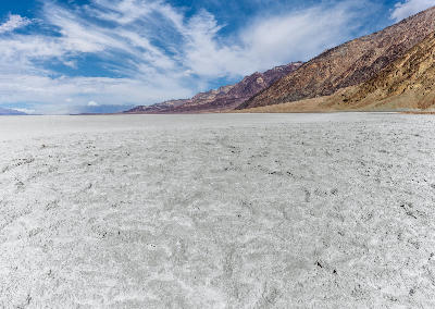
Badwater Basin is a large salt flat within Death Valley with a broad, open surface extending across the basin floor. The area features polygonal salt formations and minimal elevation change. The composition resolves through texture, scale, and the relationship between foreground patterns and distant mountains.
36.23026, -116.76744
Gallery
Quick Facts
Access
Roadside / Step-out
0–5 min
Elevation Gain
0 m
Best Light
Light works best when low-angle light moves across the salt flats because it enhances texture and maintains detail across bright and shadowed areas.
Why This Light
Season
Seasonally Distinct
Summer has extreme heat with limited time on the flats and strong atmospheric haze. Winter has more manageable conditions with clearer visibility and more accessible exploration.
Crowds
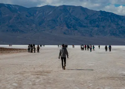
Often Busy
Restrictions
Extreme temperatures in summer require caution; surfaces extend far from the parking area.