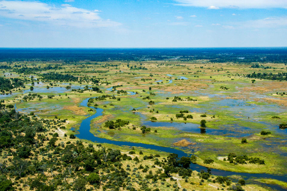
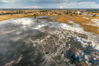
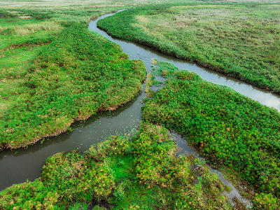
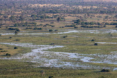
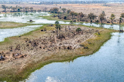
Aerial view of the winding channels, floodplains and seasonal wetlands of the Okavango Delta, one of Africa's largest inland deltas and Botswana's iconic wilderness landscape.
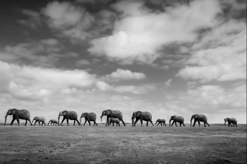
The Okavango Delta is one of the world's largest inland deltas and the defining wilderness landscape of Botswana. Unlike most great rivers, the Okavango never reaches the sea, instead spreading across the Kalahari Basin to create an immense network of floodplains, winding channels, palm-fringed islands and seasonal wetlands. This ever-changing mosaic of water and savanna supports one of Africa's richest wildlife ecosystems and one of the continent's most extraordinary landscape photography destinations. The landscape is shaped by seasonal floodwaters flowing south from the highlands of Angola into the otherwise arid Kalahari Basin. Rather than forming a single river, the water disperses through thousands of interconnected channels, lagoons, reed beds and islands that expand and contract with the annual flood cycle. Permanent waterways support papyrus wetlands and riverine forests, while surrounding grasslands and woodlands create an intricate patchwork of habitats that sustain exceptional biodiversity throughout the year. Seasonal variation continually transforms the Delta. The annual flood arrives during Botswana's dry winter months, creating an ever-changing landscape of rising water levels, newly flooded plains and expanding channels. Summer rainfall brings lush vegetation, dramatic thunderstorms and abundant birdlife, while changing flood conditions influence wildlife movements, vegetation patterns and the appearance of the Delta from year to year.
Gallery
Key POIs in Okavango Delta
Overview
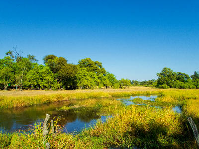
The Okavango Delta is structured around an immense network of distributary channels that spread across the Kalahari Basin to form one of the world's largest inland wetland systems. Permanent waterways branch into countless lagoons, reed-lined channels, floodplains and islands, creating a dynamic landscape where water continuously reshapes the surrounding environment. This unique hydrological system supports one of Africa's most productive ecosystems despite being surrounded by semi-arid wilderness. Each landscape contributes a distinct character to the Delta. Moremi Game Reserve protects the eastern floodplains and permanent wetlands, Chief's Island forms the ecological heart of the Delta with exceptional wildlife concentrations, while Khwai and Xakanaxa combine seasonal floodplains, winding waterways and rich predator habitats. Together these interconnected landscapes create one of the world's most diverse wetland environments. The visual structure of the Delta is defined by winding blue channels weaving through expansive floodplains, palm-fringed islands rising above surrounding wetlands and broad grasslands extending toward distant horizons. Reflections across calm waterways, seasonal floodwaters, papyrus reed beds and abundant wildlife combine to produce an ever-changing landscape unlike anywhere else in Africa.
Key photography subjects
- Winding waterways, floodplains and wetland landscapes
- Palm islands, papyrus channels and reed beds
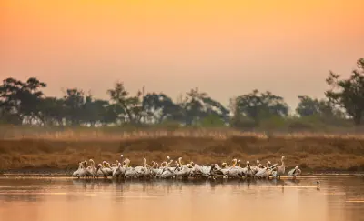
- Wildlife interacting with permanent water systems
- Elephants, predators and abundant birdlife
- Reflections, lagoons and mirror-like waterways
- Seasonal floodplains and expansive aerial landscapes
- Morning mist, golden floodlight and dramatic storm skies