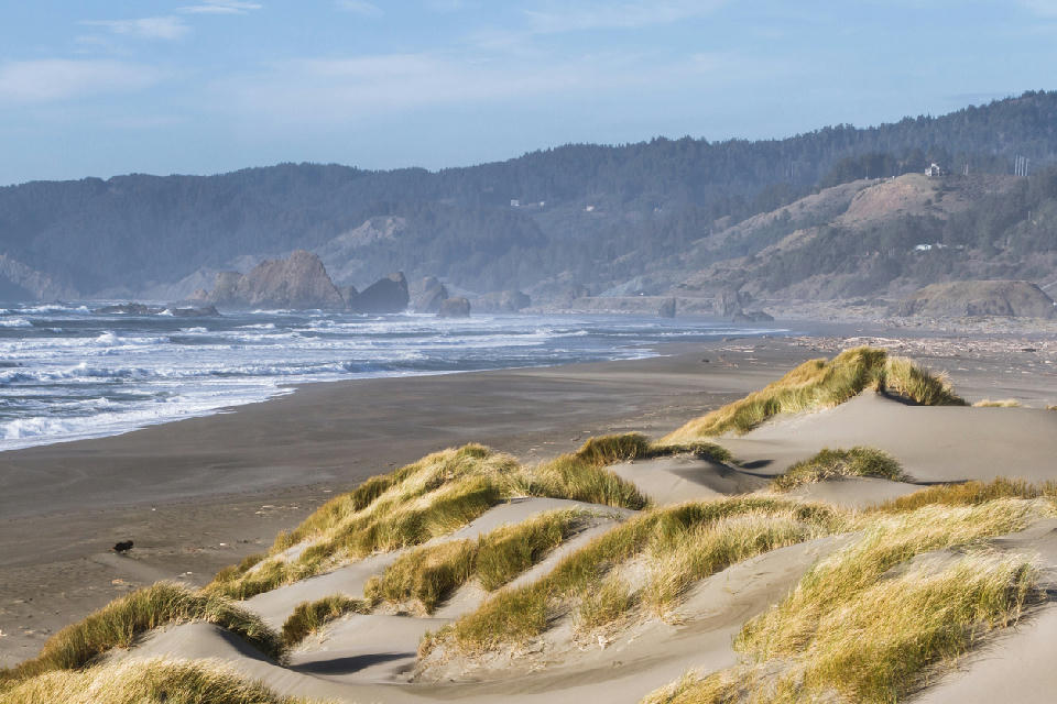
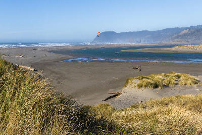
Sand dunes and open shoreline at Pistol River, southern Oregon Coast.
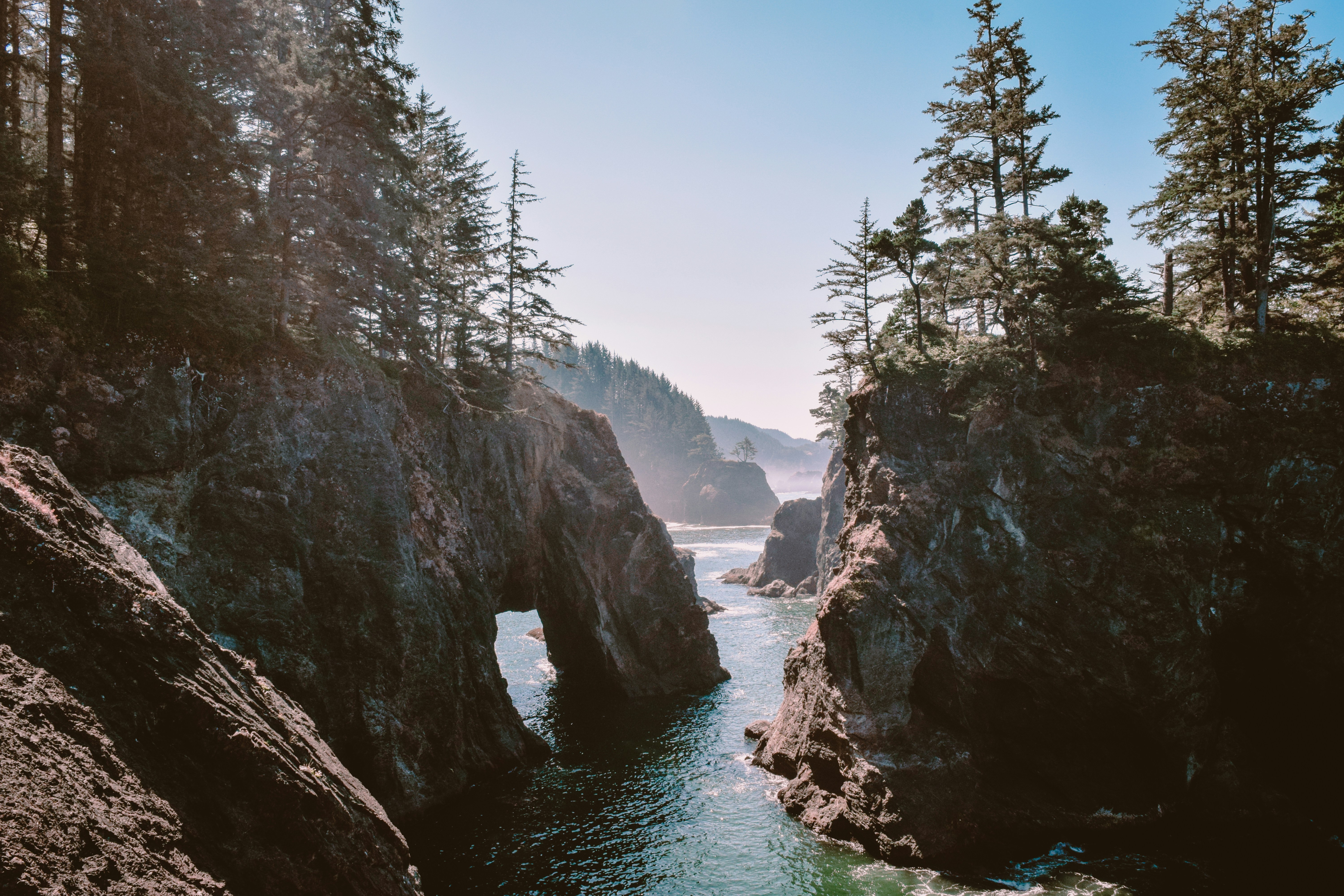
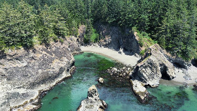
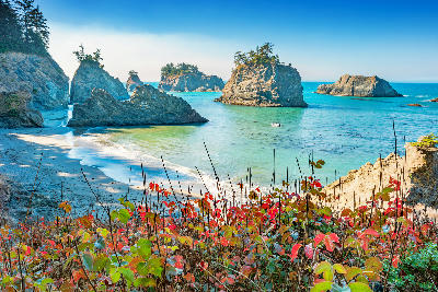
Samuel H. Boardman Scenic Corridor is a rugged stretch of the southern Oregon Coast defined by cliffs, headlands, coves, and offshore rock formations. Its visual character is created by repeated coastal forms along a linear shoreline rather than a single, unified scene.
Gallery
Nearby Places
View all on mapNatural Bridges
beach — 0.6 km
Secret Beach
beach — 4.0 km
Lone Ranch Beach
beach — 7.0 km
Harris Beach State Park
landmark — 11.1 km
Cape Sebastian
landmark — 20.0 km
Redwood National Park
landmark — 50.6 km
California Coast
Northern California Coast & Redwoods
area district — 67.9 km
California Coast
Cape Blanco Lighthouse
landmark — 77.0 km
Overview
The corridor runs along a series of exposed headlands where forested slopes meet steep coastal cliffs. Rocky coves, natural arches, sea stacks, and narrow beaches appear intermittently along the route, separated by short distances but differing in orientation and scale. Elevation shifts between roadside viewpoints and cliff edges, producing frequent changes in perspective. Visually, the corridor operates at an area scale composed of many independent photographic stops. Individual images resolve at specific viewpoints and beaches, while the corridor itself functions as a geographic container that links these locations into a continuous coastal system rather than a single photographable subject.
Key photography subjects
- Cliff-backed coves with offshore sea stacks
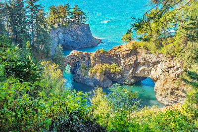
- Natural arches and eroded coastal openings
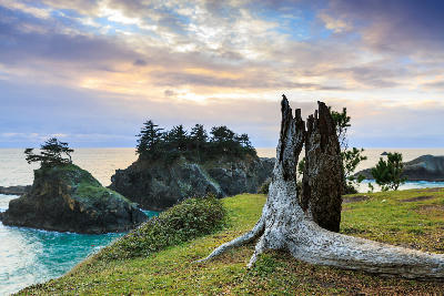
- Elevated headland viewpoints above open ocean
- Narrow pocket beaches framed by rock walls
- Repeating headland forms along a linear coastline