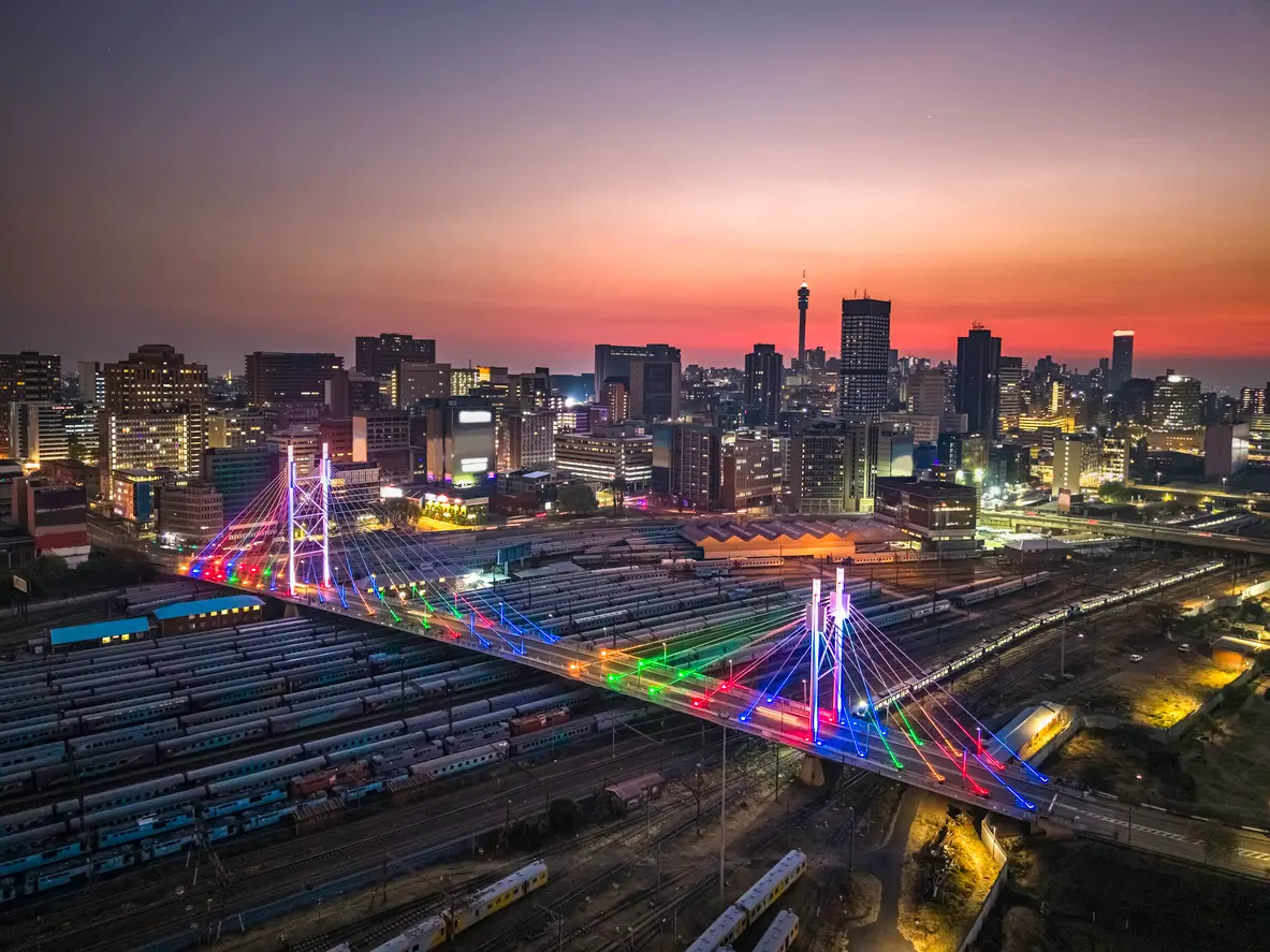
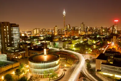
The Johannesburg skyline glows at sunset behind the Nelson Mandela Bridge, one of the city's most recognisable landmarks and a gateway to the urban heart of Gauteng.
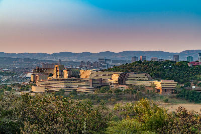
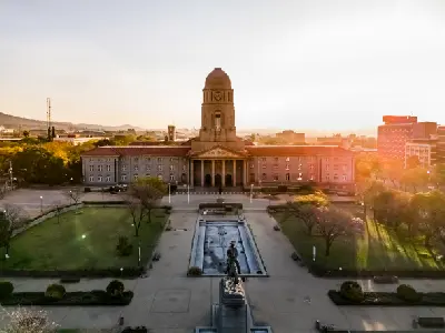
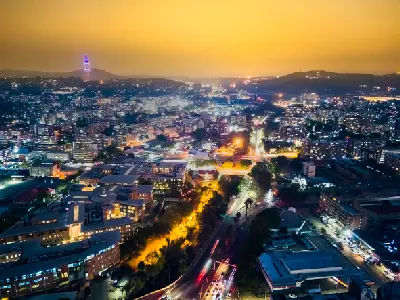
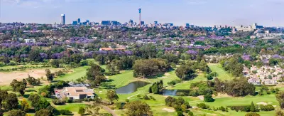
Johannesburg and Pretoria form South Africa's largest urban region and economic heartland, occupying a broad section of the Highveld plateau in northern Gauteng. The region combines modern skylines, historic government precincts, mining heritage landscapes, urban forests and extensive residential suburbs, creating one of the most varied metropolitan environments on the African continent. The landscape is shaped by the elevated Highveld, the Witwatersrand ridge and the historic gold-bearing reef that drove Johannesburg's rapid growth during the late nineteenth century. Pretoria developed as the country's administrative capital, while Johannesburg emerged as its financial and commercial centre. Together they form a connected metropolitan region defined by contrasting architecture, cultural landmarks, green spaces and urban infrastructure. Seasonal variation influences visibility, vegetation and atmospheric conditions throughout the year. Summer brings dramatic thunderstorm activity, lush urban greenery and vibrant sunset skies, while winter produces clear visibility, crisp architectural light and some of the region's most rewarding cityscape conditions.
Gallery
Key POIs in Johannesburg & Pretoria
Nearby Places
View all on mapMagaliesberg & Hartbeespoort
area district — 24.1 km
North West
Rietvlei Nature Reserve
landmark — 24.4 km
Gauteng
Hartbeespoort Aerial Cableway
landmark — 26.0 km
North West
Hartbeespoort Dam
water feature — 28.0 km
North West
Walter Sisulu National Botanical Garden
landmark — 29.9 km
Gauteng
Cradle of Humankind
area district — 33.2 km
Gauteng
Gauteng Nature & Landscapes
area district — 33.4 km
Gauteng
Sterkfontein Caves
landmark — 34.3 km
Gauteng
Overview
Johannesburg and Pretoria are structured around a network of urban centres, historic districts, ridgelines and green corridors extending across the central Highveld. The Witwatersrand ridge forms the geological backbone of Johannesburg, while Pretoria occupies a series of sheltered valleys and ridges further north. Together these landscapes support a diverse mixture of historic architecture, government precincts, modern commercial districts and expansive suburban environments. Each city possesses a distinct visual character. Johannesburg is defined by dense skylines, mining heritage, transport infrastructure and rapidly evolving urban districts. Pretoria is characterised by jacaranda-lined avenues, government buildings, diplomatic precincts and elevated viewpoints overlooking the surrounding city. The combination creates a metropolitan landscape unlike any other in South Africa. The visual structure of the region is defined by the contrast between urban development and the surrounding Highveld environment. Modern towers rise above historic neighbourhoods, urban forests soften residential districts and elevated ridges provide panoramic views across the metropolitan area. Seasonal thunderstorms, winter clarity and evening city lights further transform the appearance of the landscape throughout the year.
Key photography subjects
- Johannesburg skyline and modern urban architecture
- Pretoria heritage buildings and government precincts
- The Witwatersrand ridge and elevated city viewpoints
- Mining heritage landscapes and industrial history
- Jacaranda-lined streets and urban forests
- Monuments, museums and cultural landmarks
- Highveld sunsets, thunderstorms and city nightscapes
Workshops in Johannesburg & Pretoria
No upcoming workshops scheduled for Johannesburg & Pretoria at this time.
Check back soon or explore other destinations.