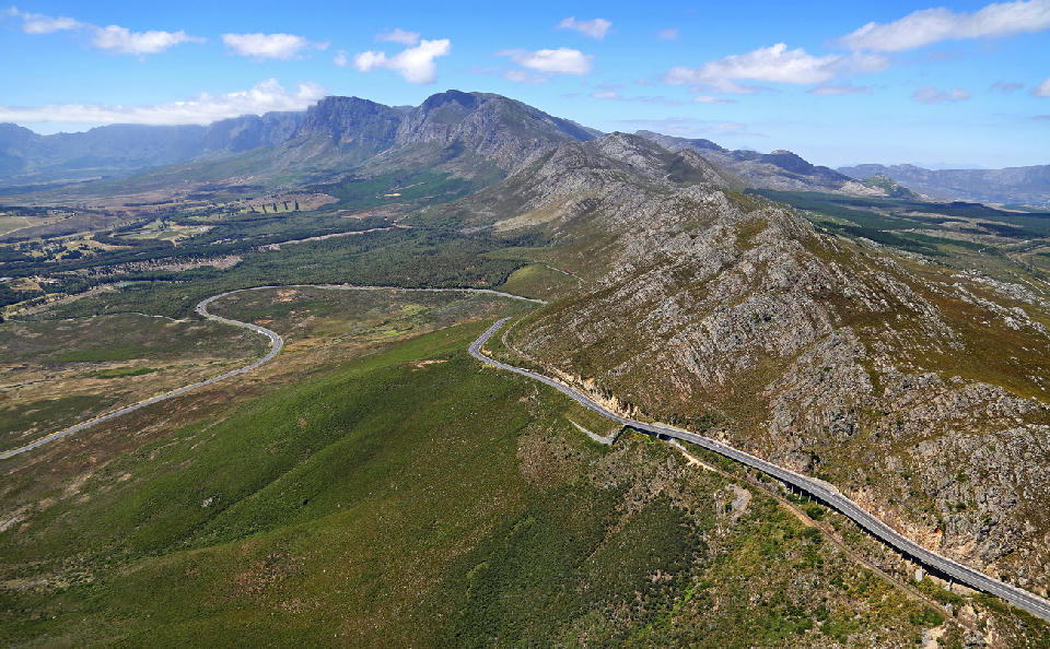
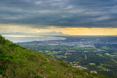
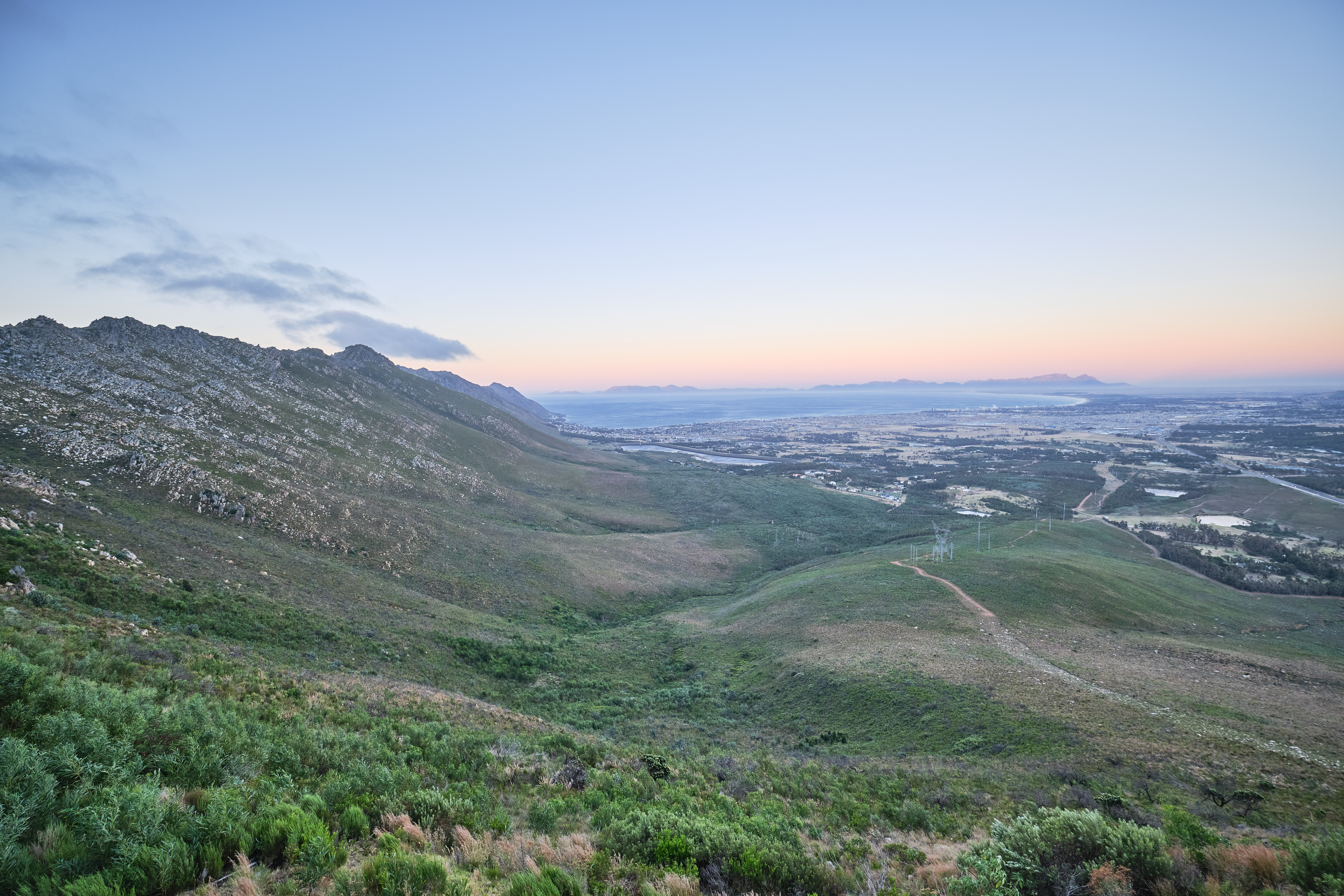
Aerial view of Sir Lowry’s Pass winding through the Hottentots Holland Mountains, where the rugged fynbos-covered ridges of the Kogelberg system transition toward the Elgin Valley in the Western Cape, South Africa.
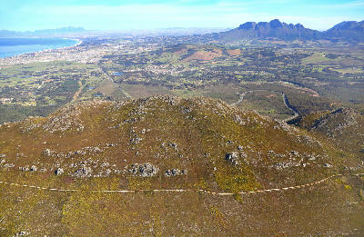
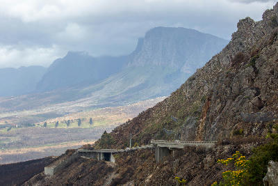
Sir Lowry’s Pass is a mountain pass in South Africa’s Western Cape, known for elevated basin viewpoints, winding mountain road geometry, and expansive views across False Bay and the Elgin valley systems. The route crosses steep mountain terrain with layered ridgelines, coastal atmosphere, and dramatic elevation changes along the pass.
-34.11768, 18.91030
Gallery

Quick Facts
Access
Roadside / Step-out
0–5 min
Elevation Gain
5 m
Best Light
Low-angle light enhances mountain texture and reveals layered atmospheric depth across the surrounding basin and coastal landscapes.
Why This Light
Season
Seasonally Distinct
Winter produces greener mountain slopes and more dramatic cloud formations across the surrounding basin landscapes, while summer brings drier terrain textures and clearer long-distance visibility toward the coastline.
Crowds
Often Busy
Restrictions
Strong winds, mountain weather, and changing roadside conditions may affect visibility and photography access along the pass viewpoints.