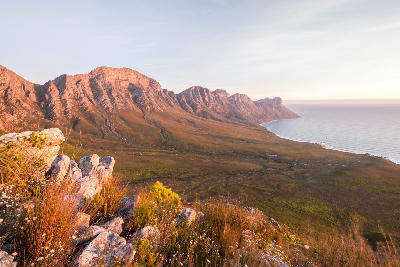
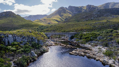
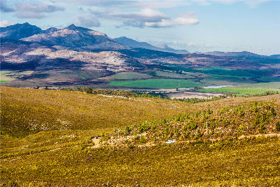
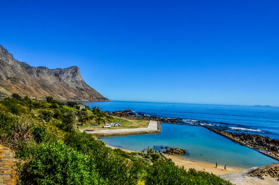
View from the Kogelberg mountains across fynbos-covered slopes and the False Bay coastline in the Overberg region of the Western Cape, South Africa.

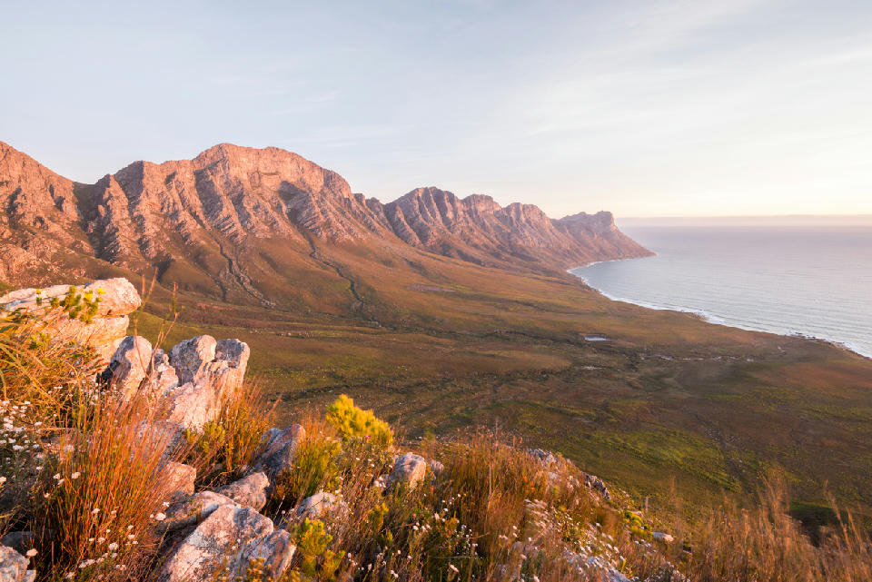
    The mountains of the Kogelberg rise directly above the False Bay coastline, where fynbos-covered slopes descend toward the ocean along the western edge of South Africa’s Overberg region.

    Overberg

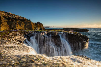
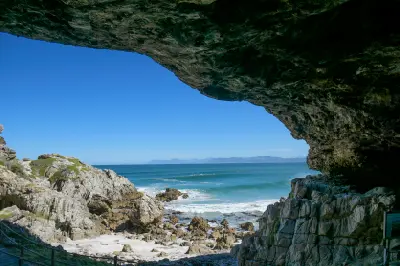
    The Overberg is a diverse coastal and mountain region in the southern Western Cape of South Africa. The region is defined by whale coastlines, cool-climate wine valleys, sandstone mountain systems, coastal fynbos, agricultural plains, and exposed southern ocean landscapes stretching between Cape Town and the Garden Route.

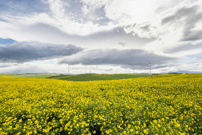
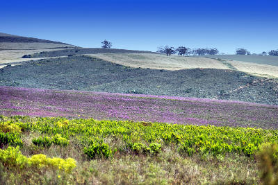
    The landscape combines marine cliffs, open bays, mountain passes, rolling farmland, estuaries, vineyards, and remote coastal terrain shaped by the interaction between ocean weather systems and the Cape Fold Mountains. Terrain varies from rugged shoreline environments and rocky headlands to broad agricultural valleys and layered mountain ridges.

    Photographically, the Overberg functions as a collection of interconnected landscape systems rather than a single terrain type. Whale coastlines, fynbos-covered mountains, wine valleys, and open agricultural plains create strong variation across relatively short distances, giving the region one of the broadest photography ranges in the Western Cape.

    Geographic discovery

    Explore Overberg by Area

    Choose a part of the Overberg to discover its landscapes, photographic character, and locations.

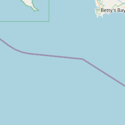
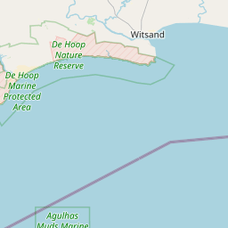
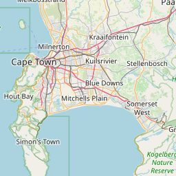
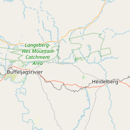
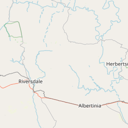
    Open interactive Explore

    Explore Areas in Overberg

    Open in Explore
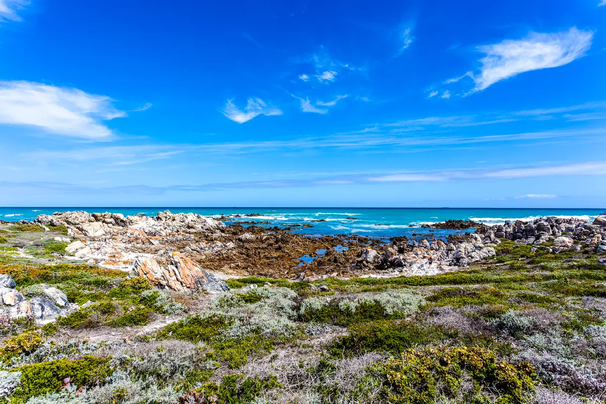
    Rocky Cape Agulhas coastline with coastal fynbos and open ocean beneath a bright blue sky in South Africa.

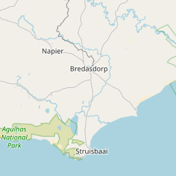
    Cape Agulhas & Southern Coast

    The Cape Agulhas region is shaped by an exposed stretch of coastline where the Southern Ocean meets low coastal plains along the southern edge of Africa. Rocky shorelines, tidal pools, windswept beaches, and open coastal terrain dominate much of the landscape, while small towns and isolated structures provide occasional focal points within the wider scenery. Photographically, the area works especially well for minimalist coastal scenes, long horizons, and atmospheric light. The rocky formations around Cape Agulhas create strong foreground detail for ocean compositions, while beaches near Struisbaai and Arniston offer softer coastal scenes with open sky and uninterrupted ocean views. The changing weather across the coastline also gives the region a constantly shifting mood throughout the year. Light and conditions play a major role across the Southern Coast. Sea mist, moving cloud, strong wind, and changing swell patterns regularly transform the landscape within short periods of time. Sunrise and sunset often produce soft colour across the coastline, while storm conditions can create dramatic ocean movement and darker atmospheric scenes along the exposed shore.

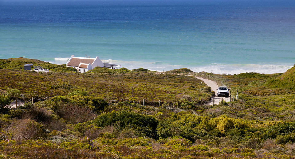
    Road descending through coastal fynbos toward the ocean in De Hoop and the Southern Overberg coastline, South Africa.

    De Hoop & Southern Overberg

    The landscape is formed by a combination of dune systems, coastal flats, wetlands, and rocky shoreline extending across the southern Overberg coastline. Compared to the cliff-based coastlines further west, the terrain here is broader and more open, with long stretches of undeveloped coastal landscape and low rolling topography. Photographically, the area works through texture, layering, and minimalism. Dune formations and coastal vegetation create structured foregrounds, while beaches, wetlands, and ocean horizons provide depth within open compositions. Light and weather strongly influence the scenery, with mist, cloud movement, and seasonal conditions shaping colour and atmosphere across the landscape.

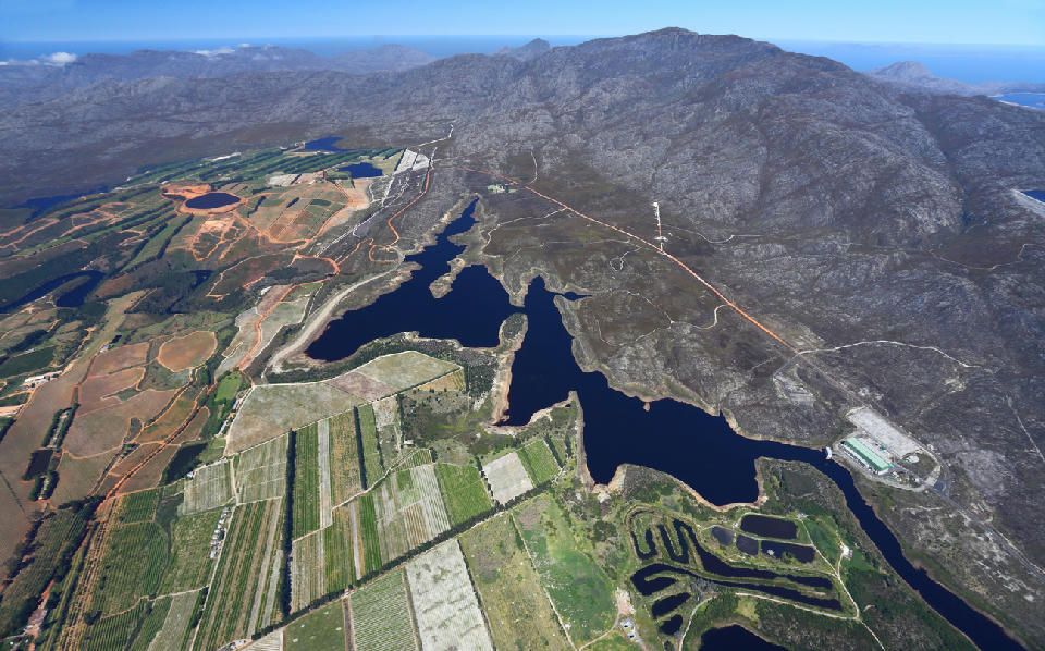
    High aerial view of the Elgin Valley with orchards, reservoirs, farmland, and surrounding mountain ranges in the Western Cape, South Africa.

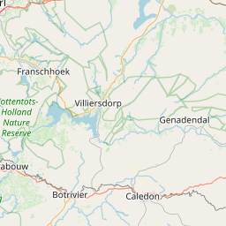
    Elgin Valley

    Elgin Valley is structured around a broad elevated basin positioned between surrounding mountain systems of the southwestern Cape. Reservoirs, orchards, vineyards, forestry plantations, and farmland extend across the valley floor beneath elevated ridgelines and cooler inland slopes. Unlike the harsher coastal terrain of nearby Kogelberg, Elgin works through softer agricultural geometry and seasonal variation. Orchard rows, vineyard blocks, farm roads, and rolling terrain create ordered patterns across the landscape, while mountain ridges provide scale and separation around the valley edges. The visual character of the region changes significantly throughout the year. Autumn colour, winter mist, spring vegetation, and low cloud frequently reshape the atmosphere of the valley, while cooler inland conditions create softer light and reduced contrast compared to nearby coastal regions.

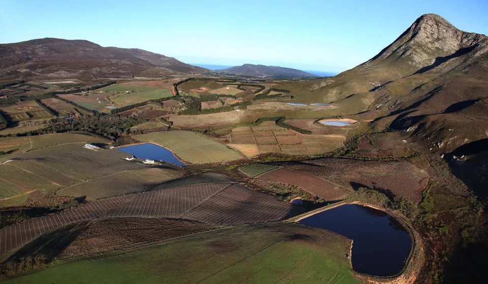
    Aerial landscape including Creation Wines within the Hemel-en-Aarde Valley, showing vineyards, reservoirs, mountain ridges, and rolling terrain near Hermanus, South Africa.

    Hemel-en-Aarde Valley

    Hemel-en-Aarde Valley extends inland from Hermanus through a series of rolling vineyard landscapes framed by mountain ridges and agricultural hillsides. The valley is made up of winding roads, layered terrain, open vineyard views, and changing elevations that provide a wide variety of compositions throughout the region. Photographically, the area works particularly well for wider landscape scenes. Vineyard rows create strong leading lines and repeating patterns across the slopes, while the surrounding mountains help add scale and depth to compositions. Different elevations throughout the valley also allow photographers to work with both intimate vineyard details and broader panoramic scenes. Conditions in the valley change regularly depending on season, weather, and time of day. Morning mist can settle between the vineyards, while late afternoon light often creates warm contrast across the terrain. Autumn is especially popular for colour and atmosphere, although the valley remains visually interesting throughout the year.

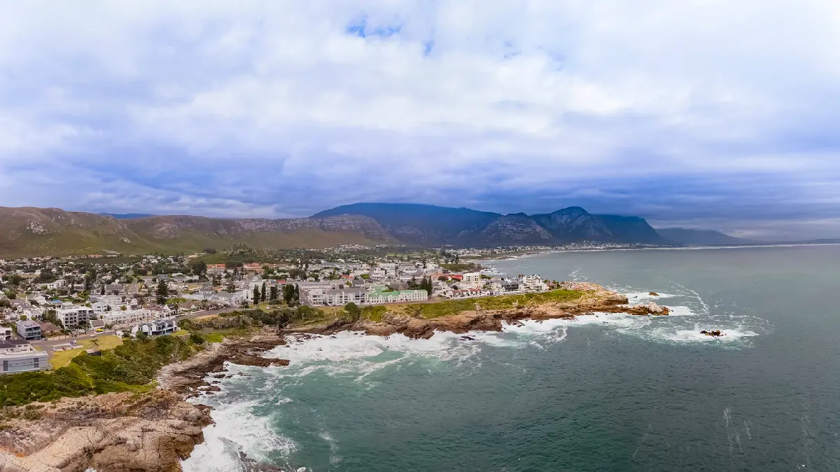
    Coastal aerial panorama of Hermanus with rocky shoreline, ocean cliffs, and mountains along the Whale Coast in South Africa.

    Hermanus & Whale Coast

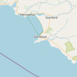
    The Whale Coast is shaped by a rugged stretch of coastline where mountains meet the ocean along Walker Bay. Rocky cliffs, small coves, beaches, tidal pools, and exposed shoreline formations create a highly varied marine landscape that changes constantly with weather, swell, tide, and season. The coastline also curves naturally around the bay, allowing photographers to work with both open ocean scenes and more sheltered coastal compositions. Photographically, the region works especially well for layered coastal scenes and atmospheric light. Elevated cliff paths around Hermanus provide wide views across Walker Bay, while lower shoreline areas reveal kelp beds, textured rock formations, crashing waves, and tidal detail closer to the ocean. Different sections of the coast offer very different moods, ranging from calm pastel mornings to dramatic storm-driven conditions. Light plays a major role throughout the area. Early mornings often bring soft ocean haze and low cloud along the coastline, while sunset light can create warm reflections across the bay and cliffs. During whale season, the marine activity adds another layer to the landscape, with whales frequently visible from elevated viewpoints along the shore.

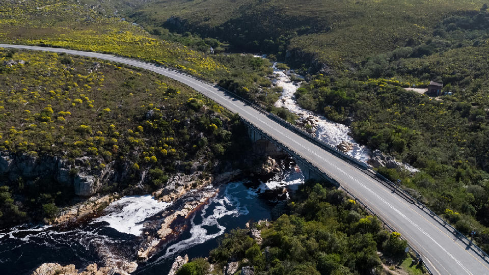
    Aerial view of the Palmiet River bridge and rocky river gorge between Kleinmond and Betty’s Bay in the Kogelberg region, South Africa.

    Kogelberg & False Bay Coast

    Kogelberg & False Bay Coast is structured around a narrow coastal corridor where mountain ridges descend directly into the ocean. Clarence Drive follows the edge of this terrain, creating elevated viewpoints above rocky shoreline formations, ocean inlets, and False Bay itself. Unlike flatter coastal systems elsewhere in the Western Cape, the region works through steep vertical compression between sea level and mountain slopes. Coastal curves, cliff-backed bays, and layered ridgelines create strong directional compositions along the length of the coastline. The region’s visual character is heavily influenced by marine weather and fynbos terrain. Ocean mist, fast-moving cloud, and changing light conditions frequently alter visibility across False Bay, while the surrounding fynbos-covered slopes introduce texture and colour variation throughout the landscape.

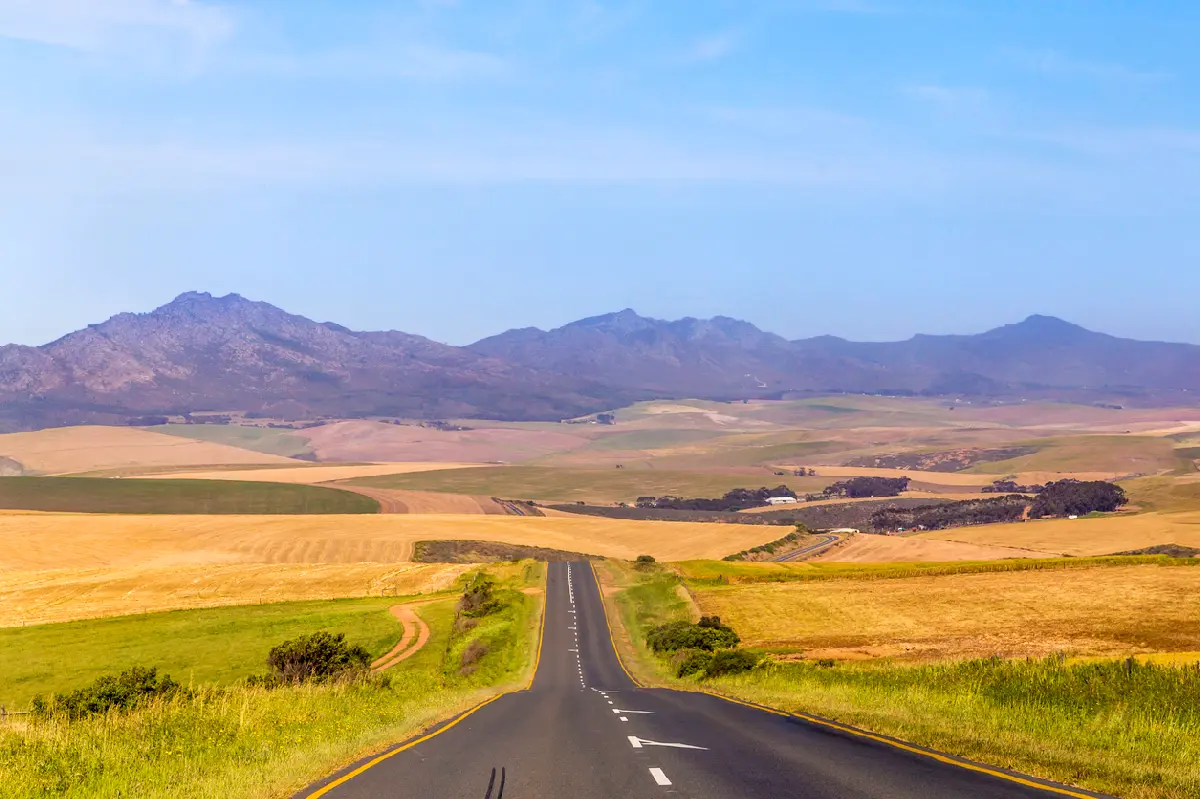
    Long road through rolling farmland and mountain landscapes near Stanford in the Overberg region of the Western Cape, South Africa.

    Stanford & Klein River

    The Stanford & Klein River area is shaped by a broad wetland and agricultural landscape extending inland from the southern Overberg coast. The Klein River winds through reed-lined waterways, floodplains, open farmland, and low rolling terrain, while distant mountain ranges create a dramatic backdrop across much of the region. Photographically, the area works especially well in softer conditions and lower-angle light. Calm river sections create reflections beneath the surrounding mountains, while wetlands and open fields provide layered foreground detail across wider landscape scenes. The roads and farmland north of Stanford also offer long open views across the valley toward the Overberg mountain ranges. The atmosphere across the region shifts constantly depending on weather, season, and water levels. Misty mornings, still water, storm light, and seasonal flooding can completely change the feel of the landscape. Birdlife around the wetlands adds another layer to the area, particularly during quieter early morning conditions along the river.

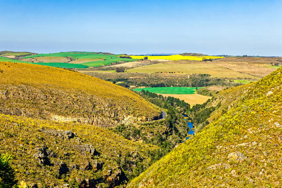
    Tradouw Pass cutting through rugged hills toward patchwork farmland and coastal plains near Barrydale and Swellendam in the Western Cape, South Africa.

    Swellendam & Langeberg Foothills

    The Swellendam & Langeberg Foothills region is shaped by broad agricultural valleys running beneath the Langeberg Mountains along the northern side of the Overberg. Rivers, rolling farmland, forest patches, and mountain slopes combine to create a varied landscape with strong depth and elevation throughout the region. Photographically, the area works especially well for layered landscape scenes and changing atmospheric conditions. Open valley floors provide long views toward the mountains, while winding roads and river systems help create natural leading lines through the terrain. Different elevations across the foothills also allow for both wide panoramic scenes and more intimate agricultural compositions. Light and weather play an important role across the region. Mist often settles along the valleys during cooler mornings, while late afternoon light creates contrast across farmland and mountain ridges. Seasonal rain, green winter landscapes, dry summer conditions, and passing storm systems all contribute to the changing character of the foothills throughout the year.

    Photographic journey

    Overberg Photography Route

    Overberg Grand Tour · 43 stops

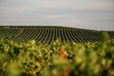
    Vineyard rows across rolling farmland in the Elgin Valley wine region of the Western Cape, South Africa.01

    Paul Cluver Vineyards

    Paul Cluver Vineyards is a cool-climate wine estate in South Africa’s Elgin Valley, known for orchard basin landscapes, vineyard geometry, and mountain-backed agricultural scenery beneath the surrounding Hottentots Holland mountain system. Vineyards extend across rolling valley terrain bordered by forests, orchards, and cool-climate farmland.

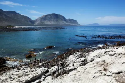
    African penguins gathered on rocky coastal cliffs at Stony Point Penguin Colony in Betty’s Bay, Western Cape, South Africa.09

    Stony Point Penguin Colony

    Colony is a coastal penguin colony in Betty’s Bay along South Africa’s False Bay coastline, known for African penguins, rocky shoreline formations, and mountain-backed coastal scenery beneath the Kogelberg range. The colony occupies a rugged coastal edge with tidal rock platforms and ocean-facing viewpoints extending along the shoreline.

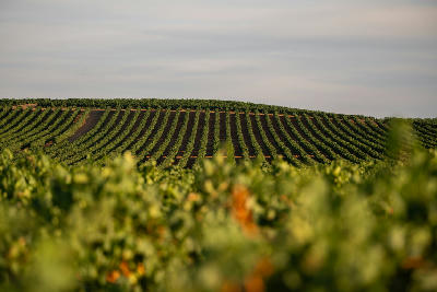
    Parallel vineyard rows stretching across a rolling hillside in the Hemel-en-Aarde wine region near Hermanus, South Africa.18

    Hamilton Russell Vineyards

    Hamilton Russell Vineyards is a cool-climate wine estate in the Hemel-en-Aarde Valley of South Africa’s Overberg region, known for vineyard geometry, open valley terrain, and mountain-backed wine landscapes. Vineyards extend across gently rolling slopes beneath layered mountain ridges surrounding the valley.

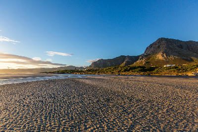
    Golden evening light across the rippled sand flats and shoreline of Grotto Beach beneath the Hermanus mountains in South Africa26

    Grotto Beach

    Grotto Beach is a wide sandy beach along the Hermanus coastline in South Africa’s Overberg region, known for broad shoreline views, dune-backed coastal scenery, and expansive ocean horizons along Walker Bay. The beach is defined by long stretches of sand, rolling surf, and open coastal atmosphere beneath surrounding mountain ridges.

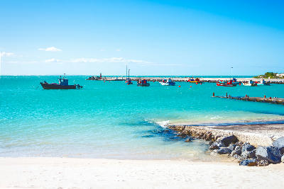
    Fishing boats floating in the bright turquoise waters of Struisbaai Harbour near Cape Agulhas in the Western Cape, South Africa.35

    Struisbaai

    Struisbaai is a coastal fishing settlement near Cape Agulhas in South Africa’s Western Cape, known for long white beaches, small harbour landscapes, and calm coastal waters along the Southern Ocean coastline. The town combines broad sandy shoreline formations with fishing harbour activity and low coastal vegetation.

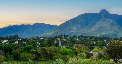
    Panoramic view of Swellendam surrounded by greenery beneath the Langeberg Mountains in the Western Cape, South Africa.43

    Swellendam

    Swellendam is a historic Cape Dutch town in South Africa’s Overberg region, known for whitewashed architecture, tree-lined streets, and mountain valley scenery beneath the Langeberg mountain range. The town occupies fertile valley terrain surrounded by long sandstone ridges and agricultural landscapes.

    Explore the Full Overberg Route43 stops across the Overberg

    Overview

    The Overberg works through the interaction between coastline, mountains, vegetation, weather, and open space. Ocean systems from the South Atlantic and Southern Ocean shape visibility, atmosphere, and light across the region, while mountain ridges and valleys create strong landscape structure inland.

    Along the Whale Coast, rocky cliffs, kelp-lined bays, and elevated viewpoints overlook Walker Bay and the southern Atlantic coastline. Marine weather creates rapidly changing visibility conditions, while seasonal whale activity adds scale and movement to coastal compositions.

    Further inland, cool-climate valleys such as Hemel-en-Aarde combine vineyards, rolling hills, and mountain backdrops into layered agricultural landscapes. The interaction between cultivated terrain and surrounding mountain ridges creates structured compositions with strong seasonal colour variation.

    Toward Cape Agulhas and De Hoop, the landscape opens into windswept coastlines, dunes, limestone formations, wetlands, and broad ocean-facing plains. These areas work through openness, atmospheric weather, and long sightlines across exposed coastal terrain.
    Key Photography Subjects

    • Marine cliffs and whale coastlines overlooking the Southern Ocean
    • Coastal fynbos landscapes with layered mountain backdrops
    • Cool-climate vineyards framed by ridgelines and valley systems
    • Windswept beaches, dunes, and rocky shoreline formations
    • Atmospheric ocean weather with shifting coastal light and mist
    • Agricultural geometry across rolling Overberg plains and valleys
    • Long sightlines combining ocean, mountain, and open landscape terrain

    Gallery

    Workshops in Overberg