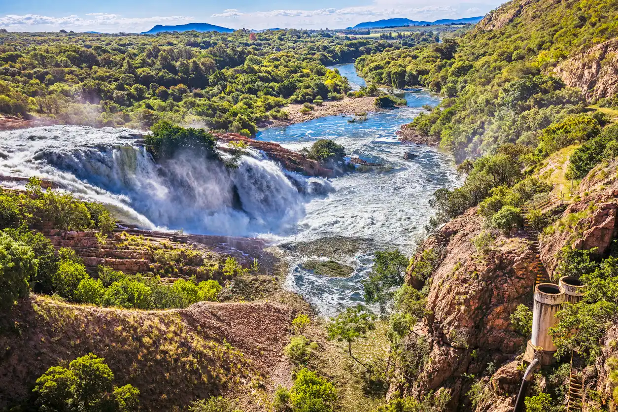
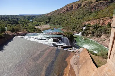
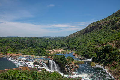
Water surges over the Hartbeespoort Dam spillway into the Crocodile River, creating one of the most dramatic viewpoints in the Magaliesberg region.
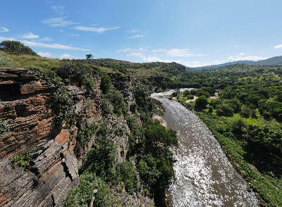
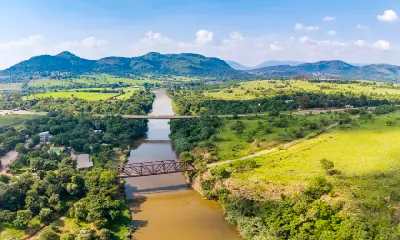
Magaliesberg and Hartbeespoort form the most prominent mountain landscape in North West Province, centred on the ancient quartzite ridges of the Magaliesberg and the waters of Hartbeespoort Dam. The region is defined by rugged mountain escarpments, deep kloofs, elevated viewpoints, river valleys, and one of South Africa's most recognisable reservoir systems. Stretching east-west across the northern edge of Gauteng and southern North West, the Magaliesberg is among the oldest mountain ranges on Earth. Its dramatic ridges rise abruptly above surrounding bushveld and agricultural plains, creating a landscape of strong relief and extensive views. The combination of mountains, water, cliffs, and open valleys creates one of the province's most visually diverse regions. Geological processes, river erosion, and the construction of Hartbeespoort Dam have shaped a landscape that combines natural mountain scenery with one of South Africa's most important inland water bodies.
Gallery
Key POIs in Magaliesberg & Hartbeespoort
Nearby Places
View all on mapJohannesburg & Pretoria
area district — 24.1 km
Gauteng
Voortrekker Monument
landmark — 28.1 km
Gauteng
Union Buildings
landmark — 31.3 km
Gauteng
Cradle of Humankind
area district — 32.6 km
Gauteng
Maropeng
landmark — 35.9 km
Gauteng
Sterkfontein Caves
landmark — 36.1 km
Gauteng
Walter Sisulu National Botanical Garden
landmark — 39.8 km
Gauteng
Rietvlei Nature Reserve
landmark — 43.4 km
Gauteng
Overview
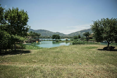
The region is anchored by the Magaliesberg mountain range, a billion-year-old geological formation extending across much of southern North West. Long ridgelines, rocky cliffs, narrow passes, and wooded valleys dominate the terrain, creating a landscape markedly different from the flatter bushveld regions elsewhere in the province. Hartbeespoort Dam occupies the centre of the landscape where the Crocodile River emerges from the mountains. The reservoir introduces a major water element into the region, creating broad reflective surfaces surrounded by ridges, hills, and elevated viewpoints. The interaction between mountain topography and open water gives the area a distinctive visual character. Photographically, the region works through elevation, scale, and contrast. Mountain ridges provide dramatic leading lines and panoramic viewpoints, while the reservoir, river systems, and valleys create opportunities for reflections and layered compositions. Seasonal thunderstorms, winter clarity, and changing light conditions frequently transform the appearance of the landscape.
Key photography subjects
- Ancient quartzite ridges and mountain escarpments
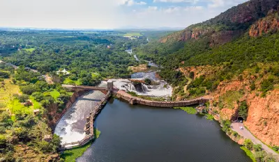
- Hartbeespoort Dam and reservoir landscapes
- Crocodile River valleys and spillways
- Elevated viewpoints across the Highveld and bushveld
- Mountain passes, cliffs, and rocky formations
- Reflections, mist, and atmospheric conditions
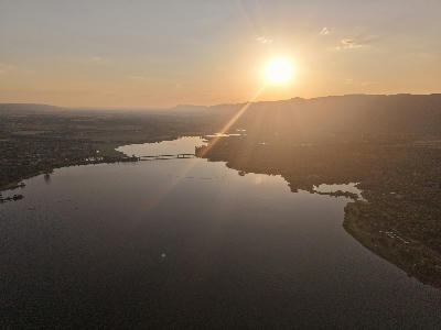
- Sunrise and sunset light across mountains and water
Workshops in Magaliesberg & Hartbeespoort
No upcoming workshops scheduled for Magaliesberg & Hartbeespoort at this time.
Check back soon or explore other destinations.