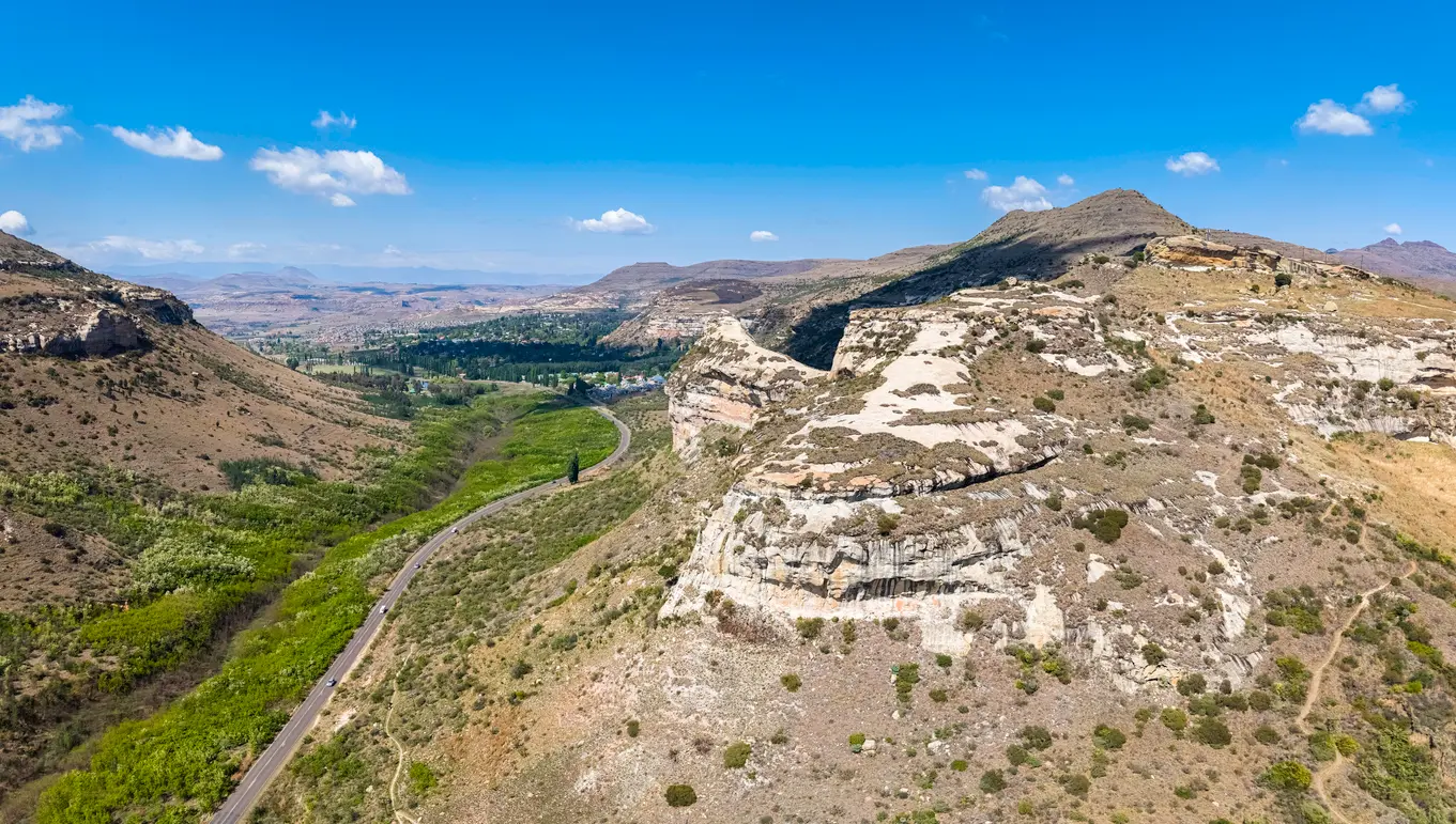
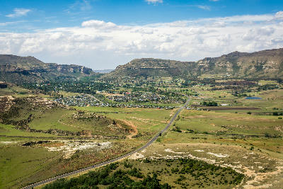
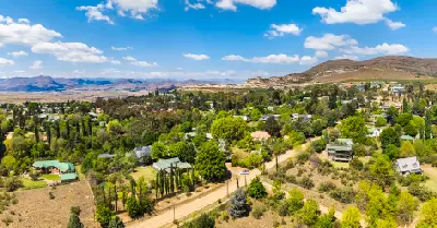
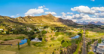
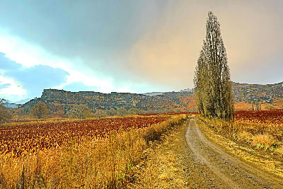
Sandstone cliffs, winding valleys and the town of Clarens nestled beneath the Maluti foothills in South Africa's Eastern Highlands.
Clarens & Eastern Highlands forms the principal highland landscape of the eastern Free State, occupying the elevated terrain between the Maloti Mountains of Lesotho and the interior grasslands of South Africa. The region includes the mountain town of Clarens, rolling highland plateaus, sandstone ridges, river valleys, and extensive foothill landscapes that create one of the province's most distinctive environments. The landscape is structured around a series of elevated grasslands, escarpment edges, and deeply eroded valleys that rise gradually towards the Lesotho border. Rivers, wetlands, and mountain drainage systems have shaped the terrain over millions of years, creating a landscape defined by broad views, layered ridges, and dramatic geological formations. Altitude, climate, and geology combine to produce a landscape that differs markedly from the central Free State. Seasonal grasslands, sandstone cliffs, changing weather systems, and distant mountain horizons create a region characterised by openness, relief, and continually changing light.
Gallery
Key POIs in Clarens & Eastern Highlands
Nearby Places
View all on mapBrandwag Buttress
landmark — 19.0 km
Free State
Mushroom Rock
landmark — 19.4 km
Free State
Golden Gate & Maluti Foothills
area district — 19.5 km
Free State
Golden Gate Highlands National Park
landmark — 24.9 km
Free State
Tugela Falls
water feature — 53.0 km
KwaZulu-Natal
Amphitheatre
landmark — 55.9 km
KwaZulu-Natal
Drakensberg
area district — 69.8 km
KwaZulu-Natal
Cathedral Peak
landmark — 82.9 km
KwaZulu-Natal
Overview
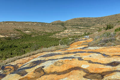
The Clarens & Eastern Highlands region is organised around a network of elevated valleys, sandstone formations, mountain foothills, and grassland plateaus extending across the eastern Free State. The terrain forms a transition zone between the interior plains and the higher mountain environments of Lesotho, creating a landscape of increasing relief and complexity towards the eastern border. Erosion has exposed extensive sandstone formations throughout the region, producing cliffs, ridges, isolated buttes, and distinctive geological landmarks. River systems cut through these formations to create fertile valleys, wetlands, and broad agricultural basins that contrast with the surrounding highlands. The visual structure of the landscape is defined by rolling grasslands, sandstone escarpments, winding river valleys, and distant mountain backdrops. Seasonal rainfall, thunderstorms, winter frost, and changing vegetation colours continually alter the appearance of the region while reinforcing its strong sense of scale and elevation.
Key photography subjects
- Rolling grassland plateaus and highland landscapes
- Sandstone cliffs, ridges, and geological formations
- River valleys, wetlands, and mountain streams
- Mountain foothills and distant Maloti horizons
- Agricultural valleys and rural landscapes
- Storm light, cloud formations, and changing weather
- Seasonal grassland colour and expansive views
Workshops in Clarens & Eastern Highlands
No upcoming workshops scheduled for Clarens & Eastern Highlands at this time.
Check back soon or explore other destinations.