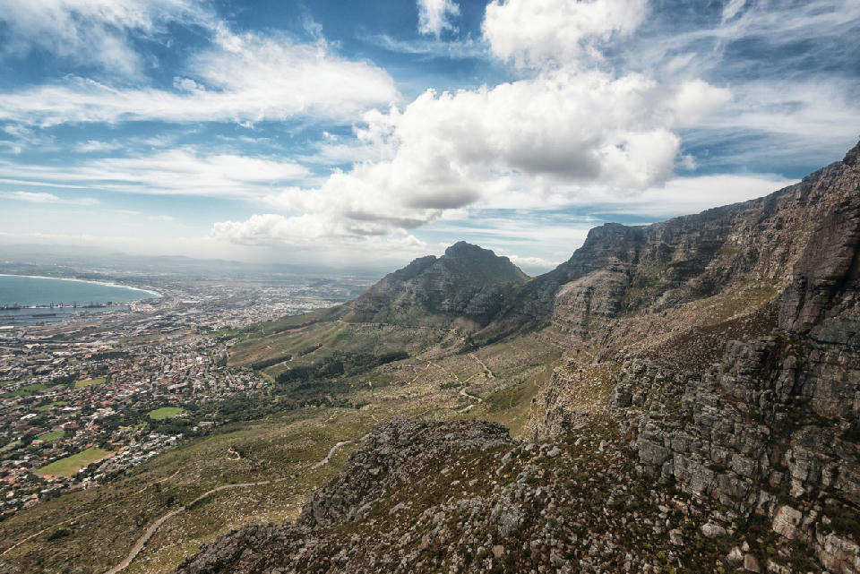
View from Table Mountain across to Devil’s Peak and the eastern slopes above Cape Town, South Africa.
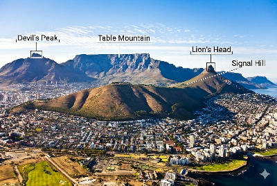
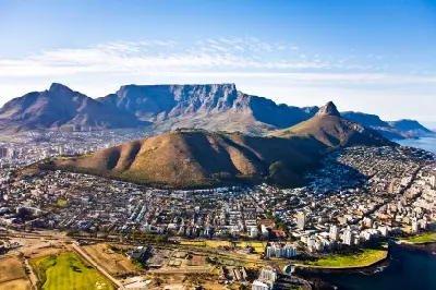
Devil’s Peak is a steep eastern summit forming part of the Table Mountain massif above Cape Town. The mountain rises sharply from the city bowl, creating a prominent triangular profile when viewed from the east and north. The composition resolves through exposed rock faces, ridgeline geometry, and city-to-mountain scale contrast.
-33.95461, 18.44039
Gallery
Quick Facts
Access
Serious Hike
90–180 min
Elevation Gain
1000 m
Best Light
Light works best when low because it defines cliff faces and separates the summit ridge from the city and False Bay beyond.
Why This Light
Season
Weather-Dependent
The mountain structure remains constant year-round, but wind, cloud cover, and heat significantly affect summit visibility and trail conditions.
Crowds
Usually Quiet
Restrictions
Steep exposed trail sections. Strong wind and rapid weather shifts common near the summit.