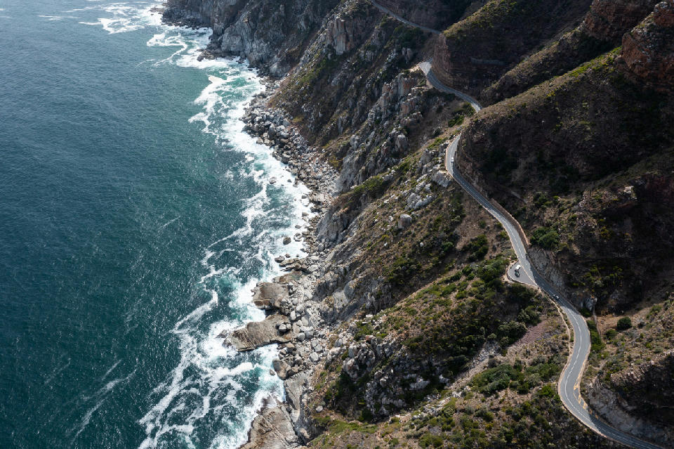
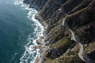
Aerial view of Chapman’s Peak Drive winding along the rugged Atlantic coastline of the Cape Peninsula near Cape Town.
← Back to Atlantic Seaboard
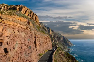
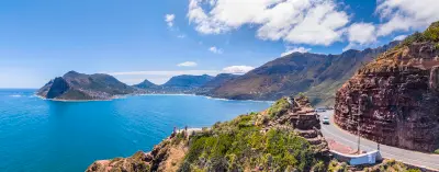
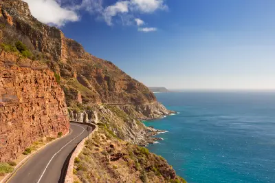
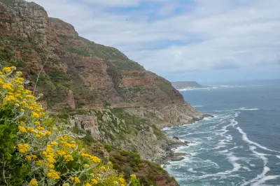
Chapman’s Peak Drive is a cliff-hugging coastal road linking Hout Bay and Noordhoek along Cape Town’s Atlantic seaboard. The route is carved into steep sandstone cliffs that rise sharply above the ocean. The composition resolves through elevated road curvature, vertical rock face, and expansive Atlantic horizon.
-34.06152, 18.37104
Gallery
Quick Facts
Access
Roadside / Step-out
0–5 min
Elevation Gain
0 m
Best Light
Sunset
Golden Hour
Light works best when low because it defines cliff texture and separates road curvature from the ocean backdrop.
Why This Light
Low-Angle Relief
Wide DR OK
Crowds
Often Busy
Restrictions
Fee Common
Seasonal Access Risk
Photography Notes
Use designated pull-offs to align road curvature against the Atlantic horizon. Elevated vantage points strengthen compression between cliff face and ocean plane. Shooting in harsh midday light flattens sandstone texture and reduces tonal separation between cliff and sea.