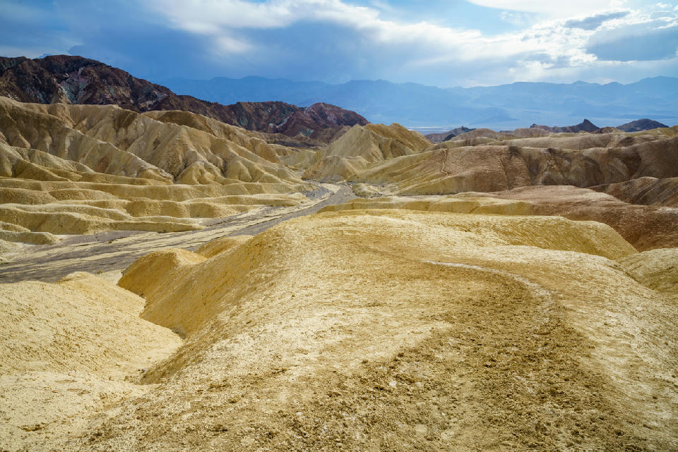
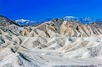
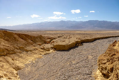
Looking down over the winding wash of Gower Gulch from the Golden Canyon loop near Zabriskie Point, Death Valley National Park, California, with expansive badlands stretching toward the Panamint Range.
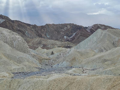
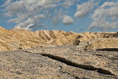
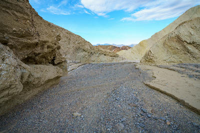
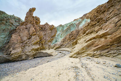
Gower Gulch is an eroded desert drainage cutting through layered badlands near Zabriskie Point in Death Valley National Park. The terrain is defined by soft ridges, gullies, and exposed sediment bands. Compositions form through repeating textures and the relationship between foreground patterns and surrounding slopes.
36.41170, -116.83904
Gallery
Quick Facts
Access
Moderate Hike
45–90 min
Elevation Gain
90 m
Best Light
Angled light reveals layered erosion patterns and enhances colour variation while reducing harsh contrast across the gulch walls.
Why This Light
Season
Seasonally Distinct
Summer produces dry, pale-toned surfaces with minimal shadow detail under harsh light. Winter brings softer light that enhances colour variation and reveals more defined texture across the ridges and gullies.
Crowds
Usually Quiet