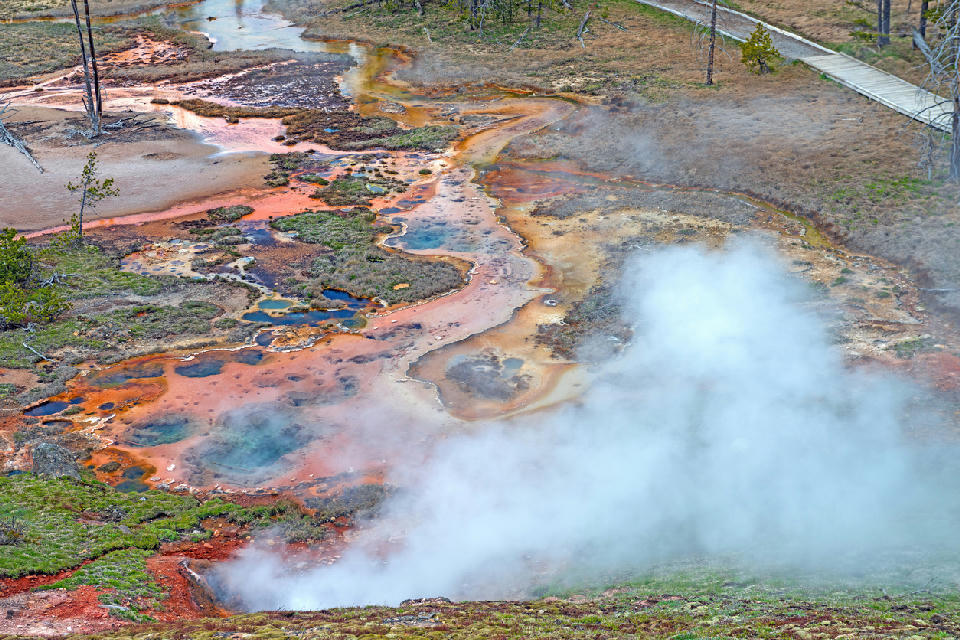
Aerial view of colorful geothermal pools and steaming vents at Artists Paintpots in Yellowstone National Park, Wyoming, USA.
Yellowstone Geothermal System is a thermal landscape within Yellowstone National Park. It is defined by geysers, hot springs, and mineral-rich ground forming patterned geothermal terrain.
Gallery
Key POIs in Yellowstone Geothermal System
Black Sand Basin
landmark — 7.1 km
Castle Geyser
landmark — 6.8 km
Excelsior Geyser Crater
water feature — 0.2 km
Grand Prismatic Spring
water feature — 0.0 km
Grand Prismatic Spring Overlook
landmark — 0.2 km
Mammoth Hot Springs
water feature — 49.6 km
Norris Geyser Basin
landmark — 24.9 km
Old Faithful
landmark — 7.2 km
Riverside Geyser
water feature — 5.7 km
Nearby Places
View all on mapUpper Falls (Yellowstone)
water feature — 34.0 km
Lower Falls
water feature — 34.5 km
Brink of the Lower Falls
water feature — 34.5 km
Yellowstone Canyon & Waterfall System
area district — 34.7 km
Lookout Point
landmark — 35.2 km
Artist Point (Yellowstone)
water feature — 35.8 km
Jackson Lake
water feature — 68.4 km
Oxbow Bend
water feature — 76.8 km
Overview
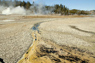
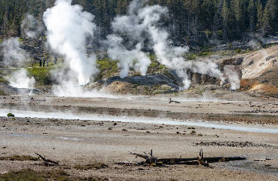
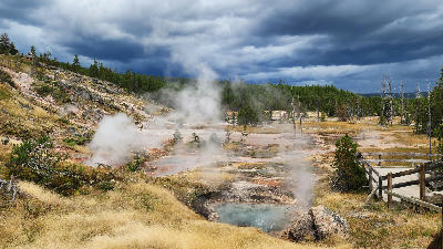
The area is formed by active geothermal features spread across basins and flat terrain, with vents, pools, and runoff channels creating a structured but irregular landscape. Surfaces vary between water, mineral deposits, and exposed ground, with colour and texture changing across short distances. Photographically, the region works through pattern, colour, and abstraction. Hot springs and runoff areas create layered compositions, while steam and heat distortions add atmosphere and variation. Light interacts with both water and mineral surfaces, with low-angle light enhancing texture and colour contrast across the geothermal features.
Key photography subjects
- Hot springs with colour variation and mineral edges
- Geysers and steam vents across flat terrain
- Runoff channels forming abstract patterns
- Layered geothermal basins and textured surfaces
- Light defining colour and detail across mineral ground