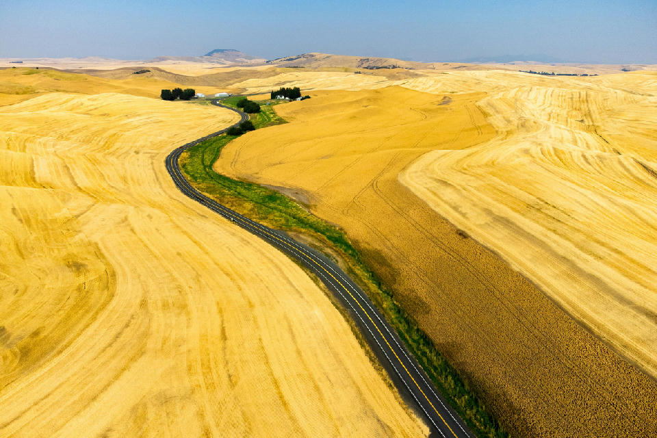
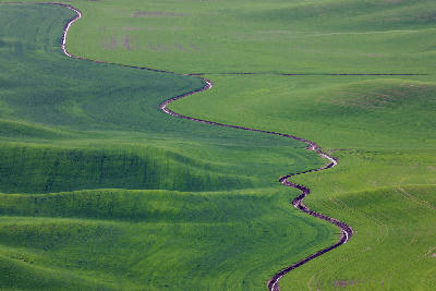
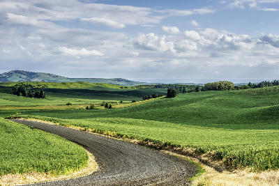
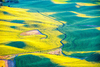
A winding road cuts through rolling wheat fields and layered farmland hills in the Palouse region of eastern Washington.
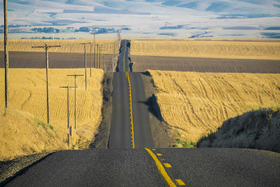
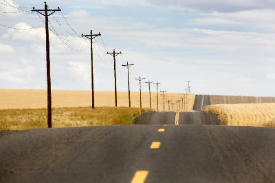
Palouse Hills Road Network is a collection of rural roads winding through the rolling farmland of the Palouse region in eastern Washington. The landscape is defined by flowing agricultural contours, layered hills, and changing crop patterns. Compositions form through road curves, leading lines, and the relationship between foreground fields and distant ridgelines.
46.92080, -117.16540
Gallery
Quick Facts
Access
Roadside / Step-out
0–5 min
Elevation Gain
5 m
Best Light
Low-angle light enhances the contours of the farmland and creates shadow separation that defines the rolling patterns across the hills.
Why This Light
Season
Seasonally Distinct
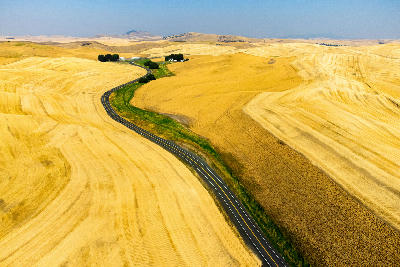
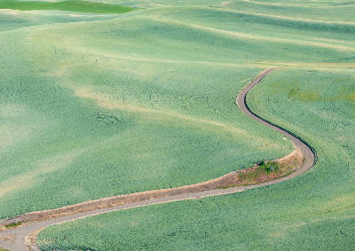
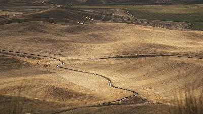
Summer creates strong contrast between green and gold farmland with highly defined rolling patterns. Winter brings muted tones and softer transitions across the hills, simplifying the landscape into broader shapes and contours.
Crowds
Usually Quiet