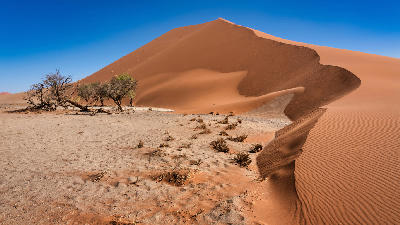
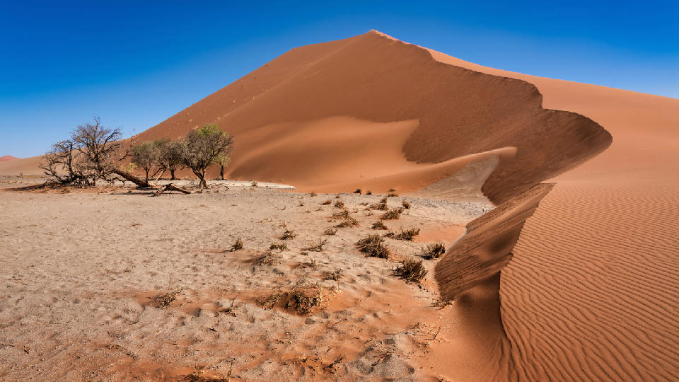
Towering red sand dune with sharp wind-sculpted ridges and sparse desert vegetation at Dune 45 in the Namib Desert, Namibia, under a clear blue sky.

    Dune 45 is one of Namibia’s most photographed landmarks, rising above the desert floor of the Namib-Naukluft National Park near Sossusvlei.

    Namibia

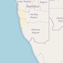
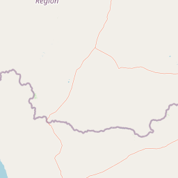
    Namibia is a desert landscape system in southern Africa defined by vast open terrain, dune fields, dry mountain ranges, salt pans, and sparse vegetation shaped by arid climatic conditions. The country is structured by scale, isolation, and geological contrast, with landscapes transitioning between coastal deserts, interior basins, rock formations, and wildlife regions across large distances.

    The terrain ranges from towering sand dunes and gravel plains to eroded mountains, dry riverbeds, and expansive desert valleys. Vegetation is minimal across much of the country, allowing terrain shape, texture, and atmospheric conditions to dominate the visual structure.

    Seasonal conditions strongly influence colour, visibility, and surface contrast. Low humidity, airborne dust, and strong directional light create high clarity and separation across the landscape, while changing weather conditions occasionally introduce dramatic cloud systems and rare water events.

    Geographic discovery

    Explore Namibia by Area

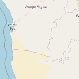
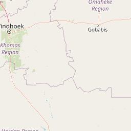
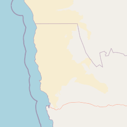
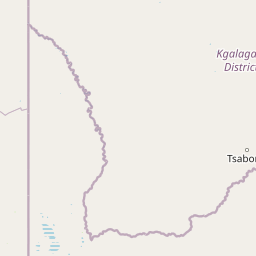
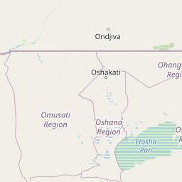
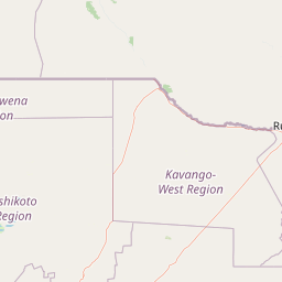
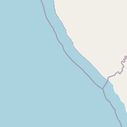
    Choose a part of Namibia to discover its landscapes, photographic character, and locations.

    Open interactive Explore

    Explore Areas in Namibia

    Open in Explore
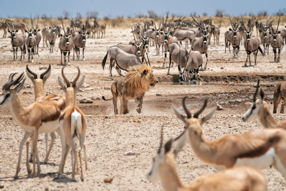
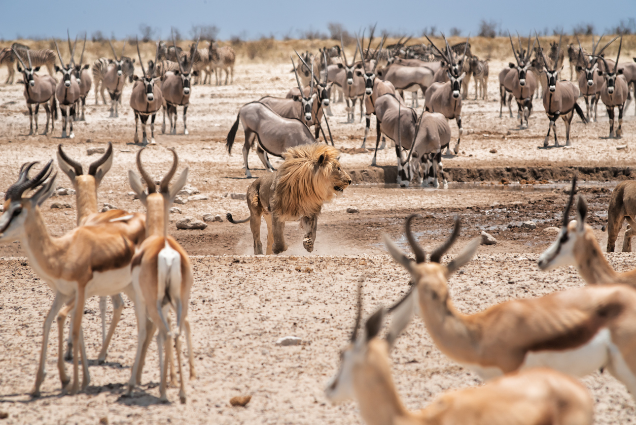
    Lion walking through herds of oryx and springbok near a waterhole in Etosha National Park, Namibia.

    Etosha National Park

    Etosha National Park is structured as a salt pan and wildlife interaction system, where composition is defined by open terrain, animal movement, and environmental minimalism across large-scale arid plains. The landscape is centred around the Etosha Pan, a massive salt basin surrounded by grassland and seasonal water sources. Waterholes act as concentrated focal points within otherwise expansive open terrain, drawing wildlife into highly visible environments. For photographers, the region functions through openness and behavioural interaction. Wildlife subjects are positioned within uncluttered landscapes, allowing strong separation between animals, terrain, and sky. The visual structure is defined by space and visibility. Flat terrain, sparse vegetation, and broad horizons create minimalist compositions where scale and atmosphere dominate the scene.

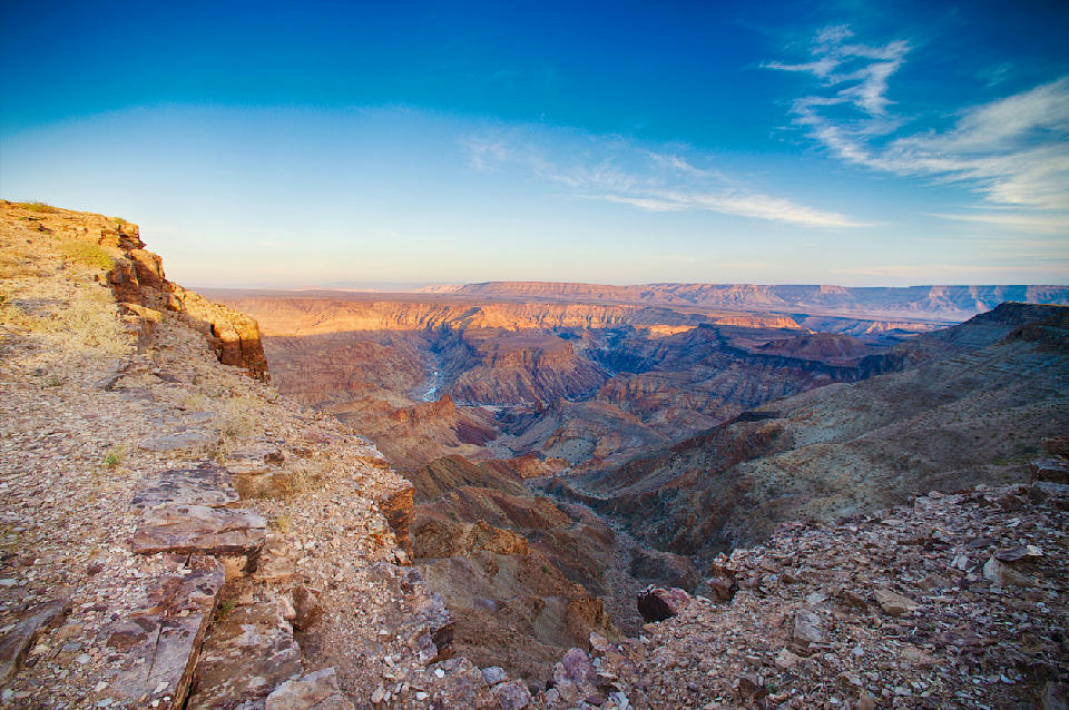
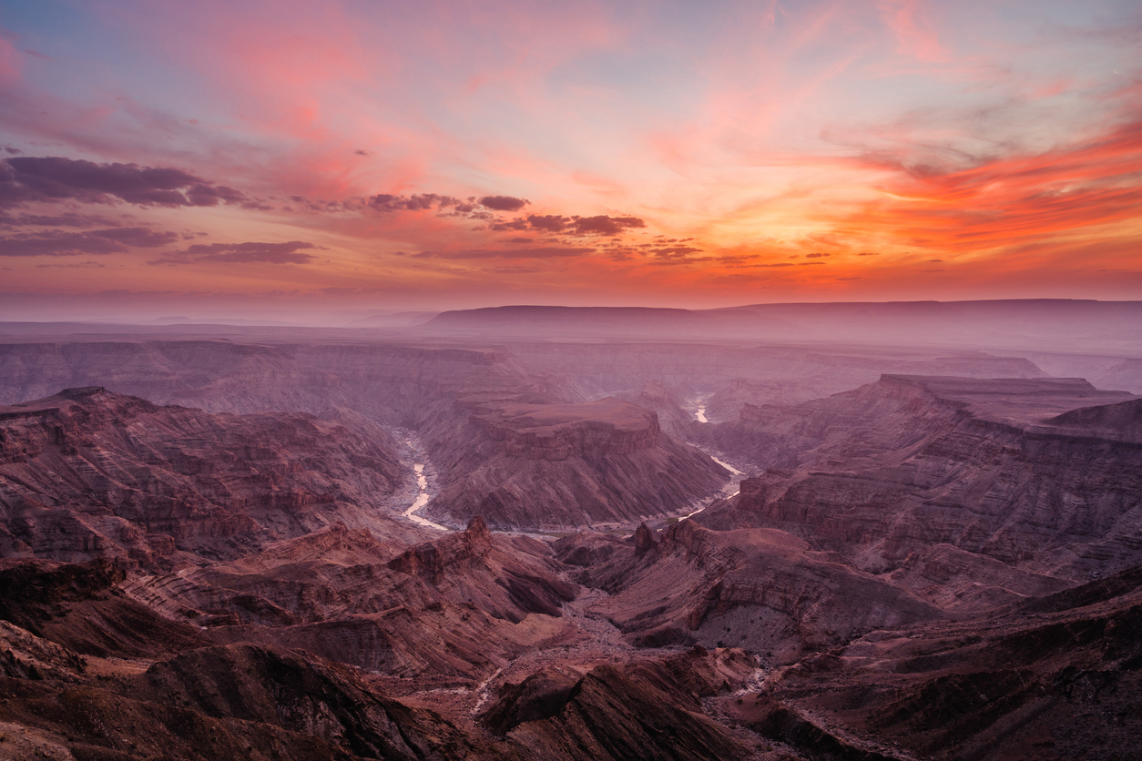
    Cliff-edge sunrise view across Fish River Canyon in southern Namibia showing layered canyon walls, deep river valleys, and expansive desert escarpments beneath a blue sky.

    Fish River Canyon System

    The Fish River Canyon System is structured as a large-scale erosion canyon system, where composition is defined by geological depth, layered rock structure, and expansive canyon perspective. The landscape is carved through ancient rock formations by the Fish River, creating steep escarpments, winding canyon corridors, and deeply eroded terrain extending across southern Namibia. Elevated viewpoints reveal large-scale geological layering, while the canyon floor introduces directional movement through the landscape. For photographers, the region functions through scale and depth. Compositions are built using canyon walls, ridgelines, shadow transitions, and the winding river corridor to create strong spatial separation across the terrain. The visual structure is defined by erosion and vertical relief. Cliff edges, canyon ridges, and layered rock formations create repeated depth patterns extending across large open environments.

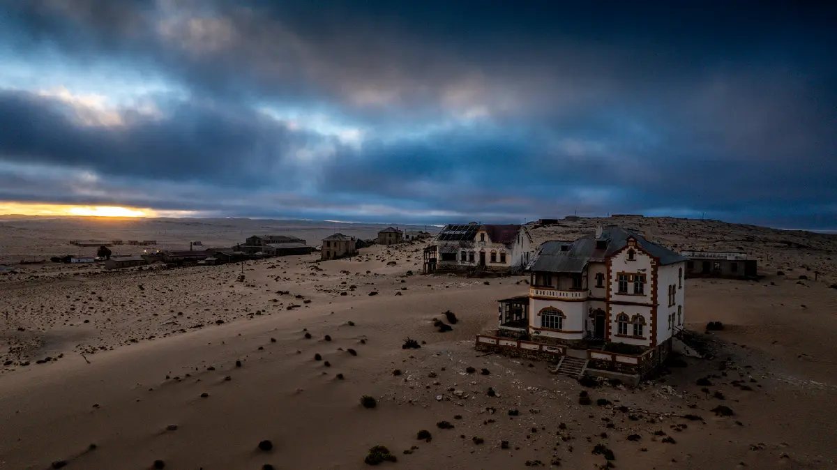
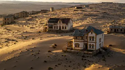
    Aerial view of abandoned buildings and desert dunes in Kolmanskop ghost town near Lüderitz, Namibia.

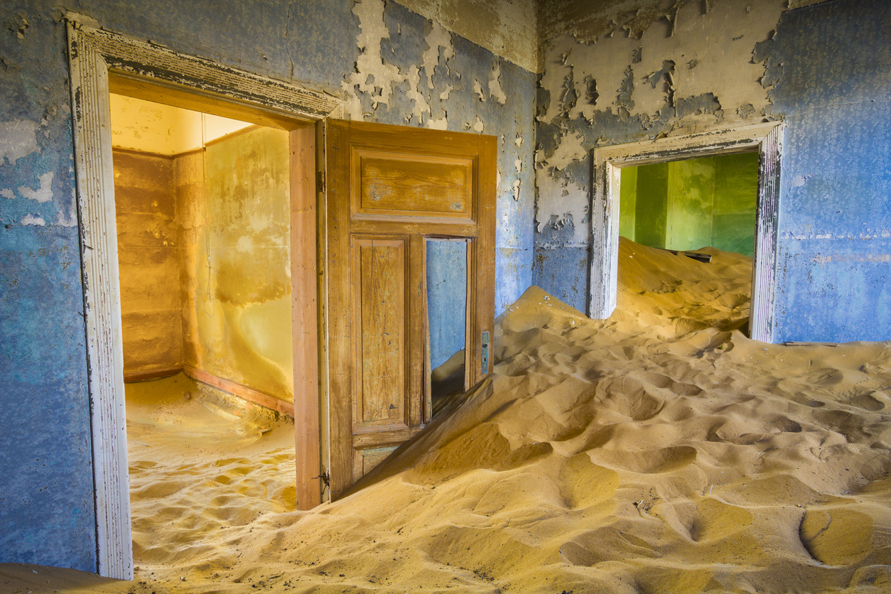
    Kolmanskop & Desert Ghost Towns

    Kolmanskop & Desert Ghost Towns is structured as a desert reclamation system, where composition is defined by the interaction between abandoned architecture and shifting desert terrain. Unlike natural desert systems built around geological forms, the visual identity here is created through contrast between rigid architectural lines and soft wind-shaped sand. Doorways, windows, hallways, and collapsing structures create repeating framing opportunities within the decaying settlement. For photographers, the region functions through texture and spatial contrast. Sand accumulation introduces abstraction and shape into interior scenes, while architectural geometry creates layered compositions shaped by light and shadow. The visual structure is defined by decay and environmental takeover. Desert terrain progressively absorbs the settlement, creating compositions where built structures appear partially consumed by the surrounding landscape.

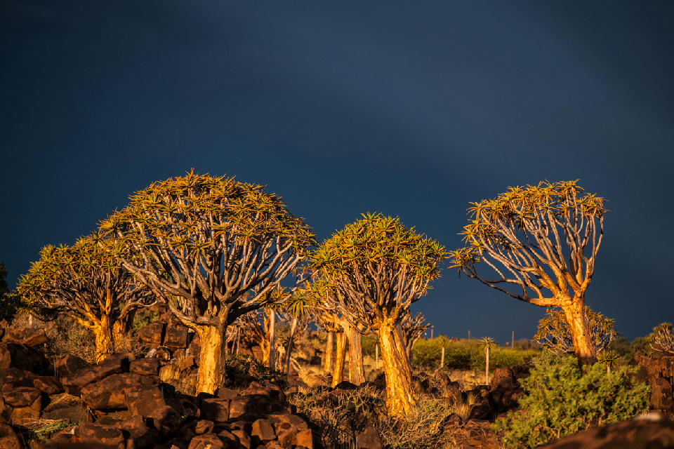
    A group of quiver trees glowing in low sunlight against a dramatic dark storm sky in the rocky desert landscape of Namibia.

    Quiver Tree & Aloe Desert

    Southern Namibia's quiver tree country occupies a transitional arid landscape where rocky uplands and open plains support vegetation adapted to extreme dryness. The quiver tree, a large branching aloe, commonly grows on exposed slopes and among boulder fields, where scattered individuals and dense concentrations create distinctive silhouettes above the surrounding terrain. Around the Quiver Tree Forest near Keetmanshoop, dark dolerite rocks provide a particularly strong setting for mature trees, while the wider landscape extends through sparsely vegetated plains, low hills and isolated rocky outcrops. The separation between individual trees reinforces the scale and openness characteristic of this part of Namibia. The visual structure of the region is defined by strong contrasts between sculptural vegetation, textured rock and uncluttered horizons. Low-angle sunlight reveals the branching forms and warm colours of the trees, while storm clouds, clear desert skies and seasonal vegetation can dramatically alter the appearance of the otherwise sparse landscape.

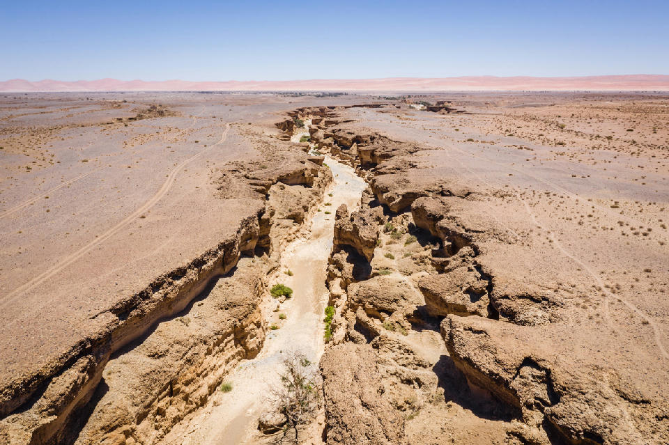
    Aerial view of Sesriem Canyon and surrounding desert plains in Namibia’s Namib Desert.

    Sesriem & Namib Desert Edge

    Sesriem & Namib Desert Edge is structured as an open transitional desert system, where composition is defined by scale, atmosphere, and spatial separation across broad arid terrain. The landscape forms the environmental transition between the interior Namib Desert and the wider desert plains surrounding the Sossusvlei region. Gravel plains, isolated vegetation, desert roads, and distant mountain systems create large open compositions with minimal visual obstruction. For photographers, the region functions through minimalism and environmental scale. Compositions are built using open space, distant dune systems, desert roads, and isolated terrain features positioned within expansive desert environments. The visual structure is defined by distance and atmospheric layering. Heat haze, directional light, and wide desert sightlines create gradual tonal transitions across the landscape.

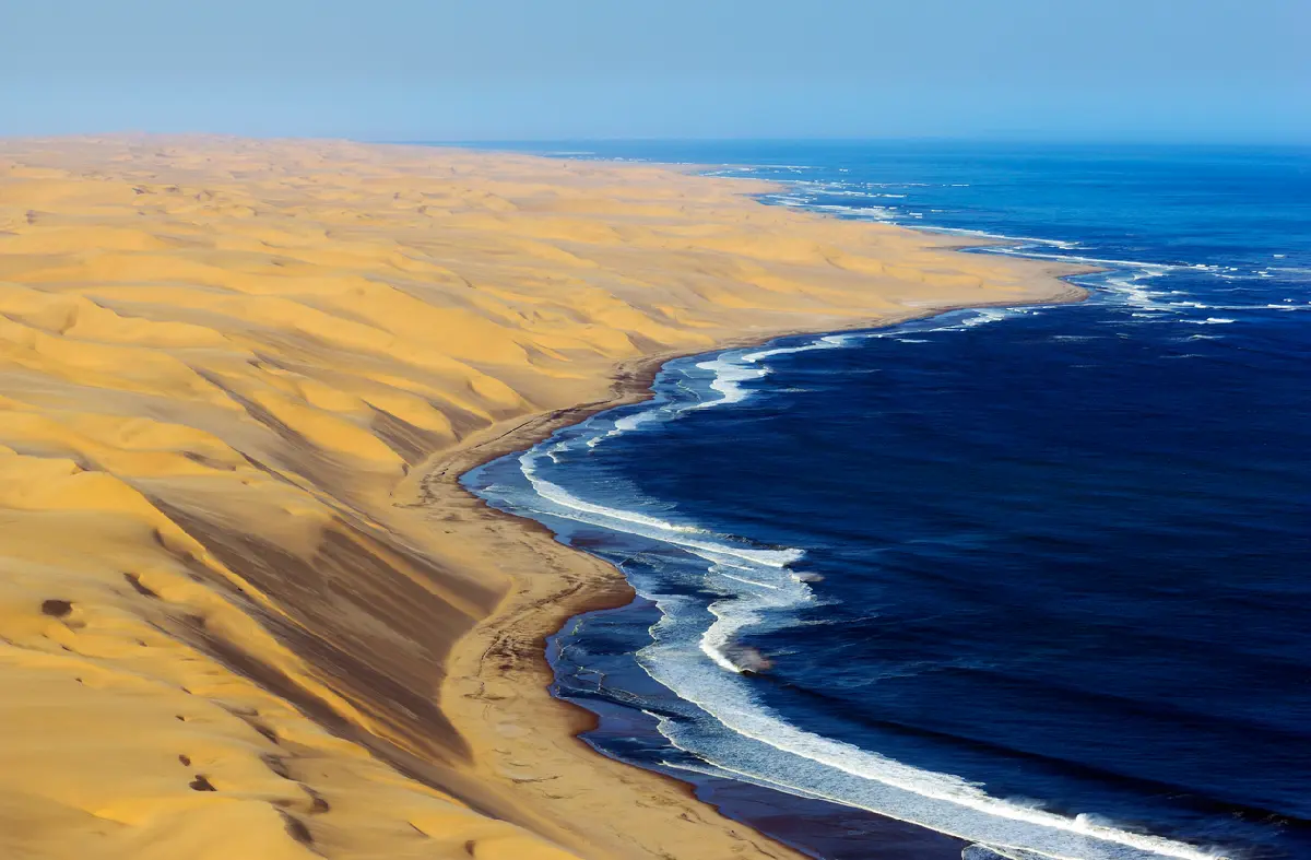
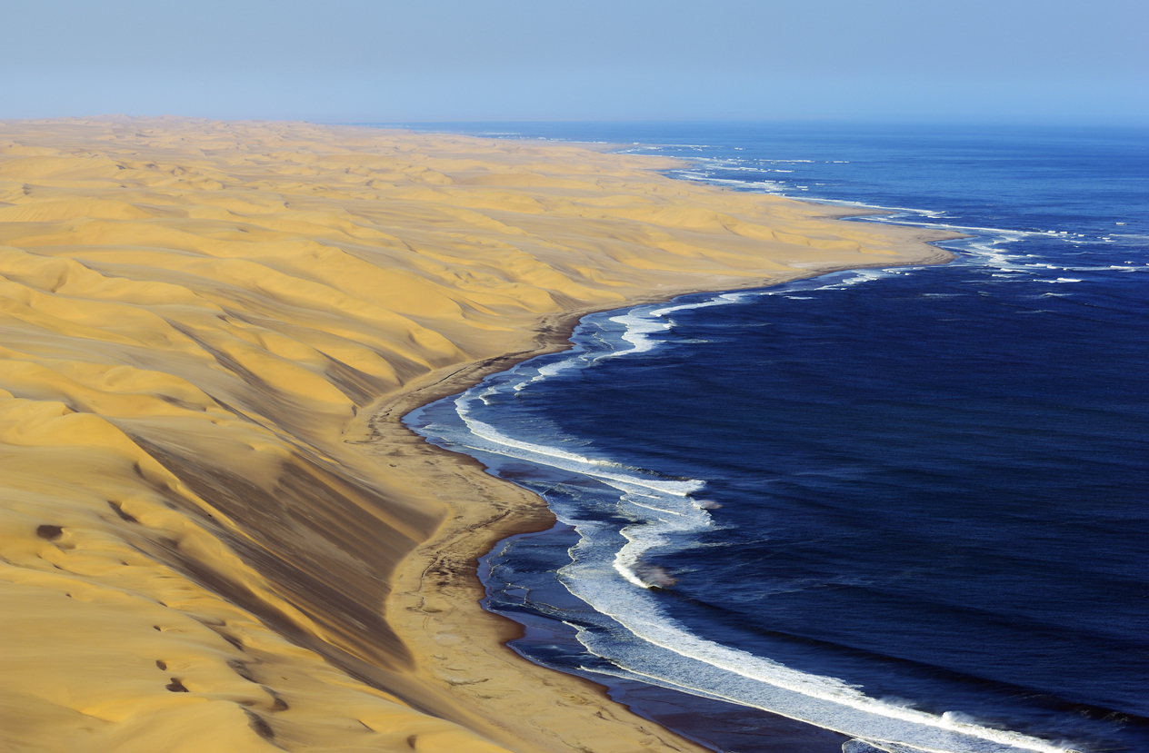
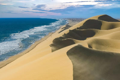
    Aerial coastline of large Namib Desert dunes meeting the Atlantic Ocean on Namibia’s Skeleton Coast.

    Skeleton Coast

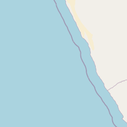
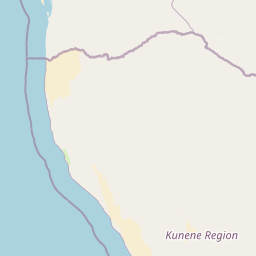
    The Skeleton Coast is structured as a desert-ocean atmospheric system, where composition is defined by contrast, exposure, and environmental isolation across a narrow coastal corridor. Unlike inland desert regions, the coastline is heavily influenced by oceanic conditions. Fog moving inland from the Atlantic softens dune structure and reduces visibility, while strong coastal winds shape exposed beaches and shoreline terrain. For photographers, the region functions through atmosphere and separation. Dunes, shipwrecks, rocky coastlines, and surf become isolated focal points within vast open environments shaped by weather and changing visibility. The visual structure is defined by emptiness and environmental contrast. Sand, rock, surf, fog, and ocean interact across uncluttered terrain, creating strong compositional simplicity and large-scale negative space.

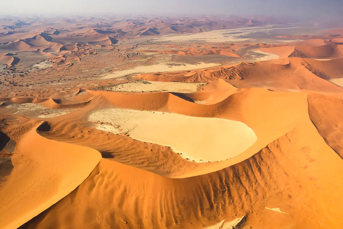
    High aerial view of massive orange Namib dunes surrounding the pale clay pans of Deadvlei in Namibia.

    Sossusvlei Dunes

    The Sossusvlei Dunes are structured as a large-scale dune geometry system, where composition is defined by shape, shadow, and spatial simplicity across the desert terrain. The landscape is dominated by steep dune faces rising around dry clay pans and shallow desert basins. Curved crest lines and wind-shaped surfaces create strong directional flow across the dunes, while isolated camel thorn trees within the pans introduce focal separation within otherwise open compositions. For photographers, the region functions through minimalism and contrast. Compositions are built using dune curves, shadow transitions, isolated subjects, and large areas of negative space. The visual structure is defined by form and tonal separation. Red dunes, pale clay pans, blue sky, and dark tree silhouettes create strong visual contrast with minimal environmental clutter.

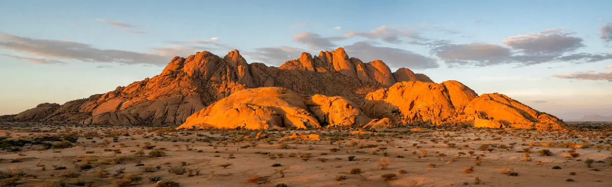
    Panoramic view of granite peaks and desert plains at Spitzkoppe in Namibia under warm evening light.

    Spitzkoppe & Granite Landscapes

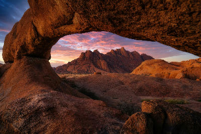
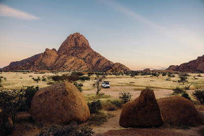
    Spitzkoppe & Granite Landscapes is structured as a granite desert mountain system, where composition is defined by rock form, surface texture, and isolated geological mass rising from open terrain. Unlike canyon or dune environments, the visual identity here is built around exposed granite structure. Rounded domes, fractured rock surfaces, and weathered formations create layered foreground opportunities beneath dominant granite peaks. For photographers, the region functions through shape and geological contrast. Compositions are formed using curved granite surfaces, arches, rock textures, and open desert foregrounds positioned beneath isolated mountain structures. The visual structure is defined by mass and exposure. Large granite formations rise abruptly from relatively flat terrain, creating strong separation between foreground plains and elevated rock systems.

    Photographic journey

    Namibia Photography Route

    Namibia Grand Tour · 24 stops

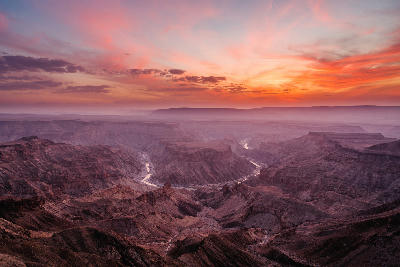
    Wide view of Fish River Canyon at sunset with layered canyon walls, atmospheric haze, and the winding river below in Namibia.02

    Fish River Canyon

    Fish River Canyon is a massive canyon system in southern Namibia carved by the Fish River through layered rock formations and desert plateau landscapes. The landscape is defined by steep canyon walls, winding river geometry, and expansive desert scale. Compositions form through depth, layered geology, and the relationship between foreground cliff edges and the canyon extending into the distance.

    Abandoned interior rooms filled with drifting desert sand in Kolmanskop ghost town, Namibia.05

    Kolmanskop

    Kolmanskop is an abandoned diamond mining town in the Namib Desert where drifting sand has partially reclaimed historic buildings and interior rooms. The landscape is defined by decaying architecture, sand-filled spaces, and strong directional light entering through broken windows and doorways. Compositions form through geometry, texture, and the relationship between desert sand and abandoned structures.

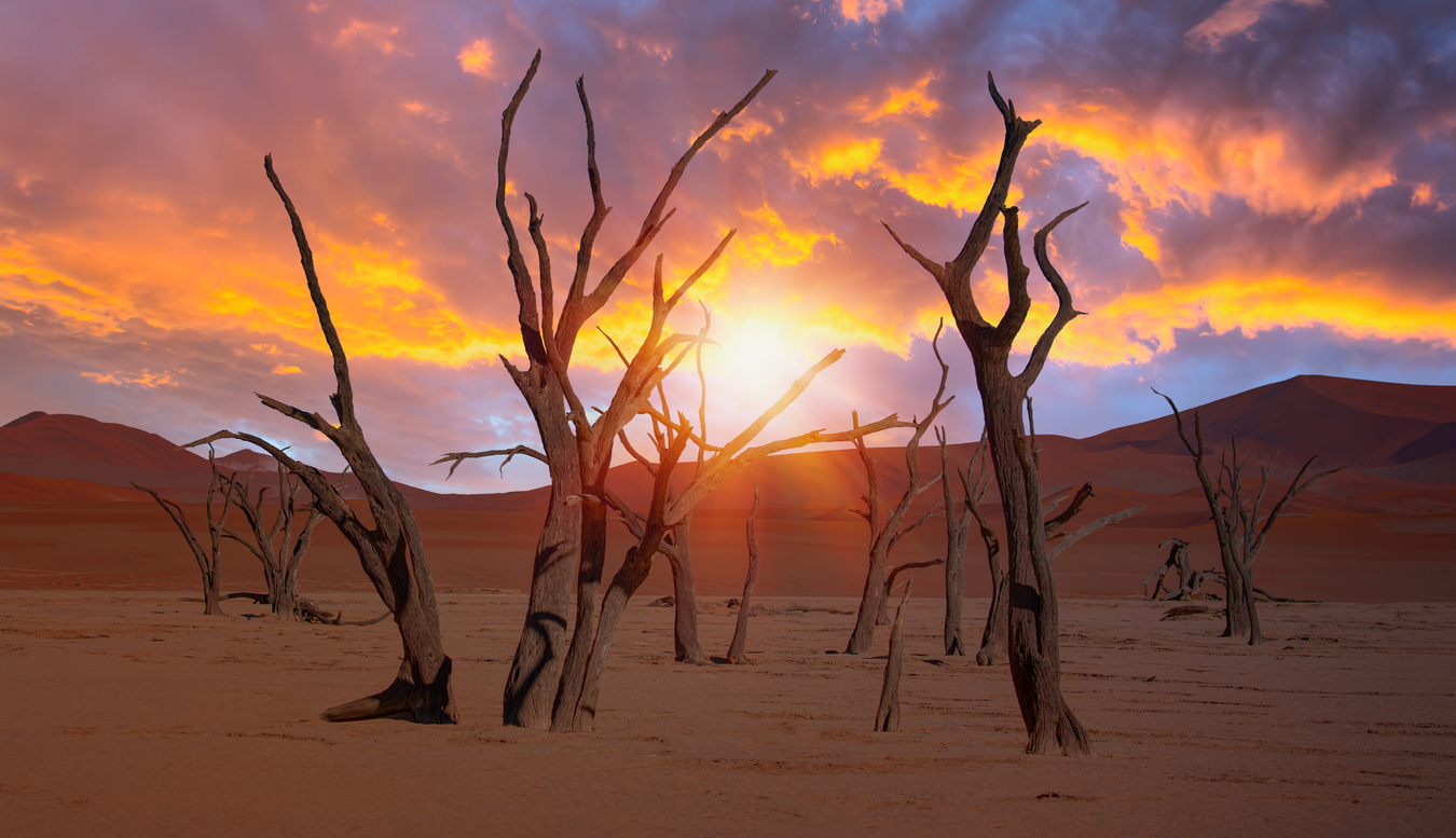
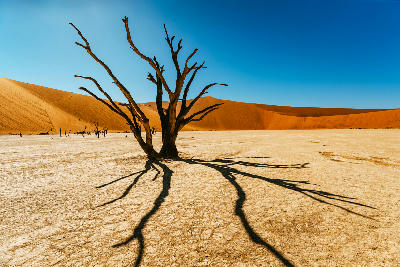
    Dead camel thorn trees in the white clay pan of Deadvlei at sunset, surrounded by red Namib Desert dunes.09

    Deadvlei (Camel Thorn Trees)

    Deadvlei is a white clay pan in the Namib Desert surrounded by towering red dunes and scattered dead camel thorn trees. The landscape is defined by stark tonal contrast, cracked clay textures, and isolated tree silhouettes against the surrounding dune walls. Compositions form through minimalism, scale, and the relationship between foreground trees and massive dune backdrops.

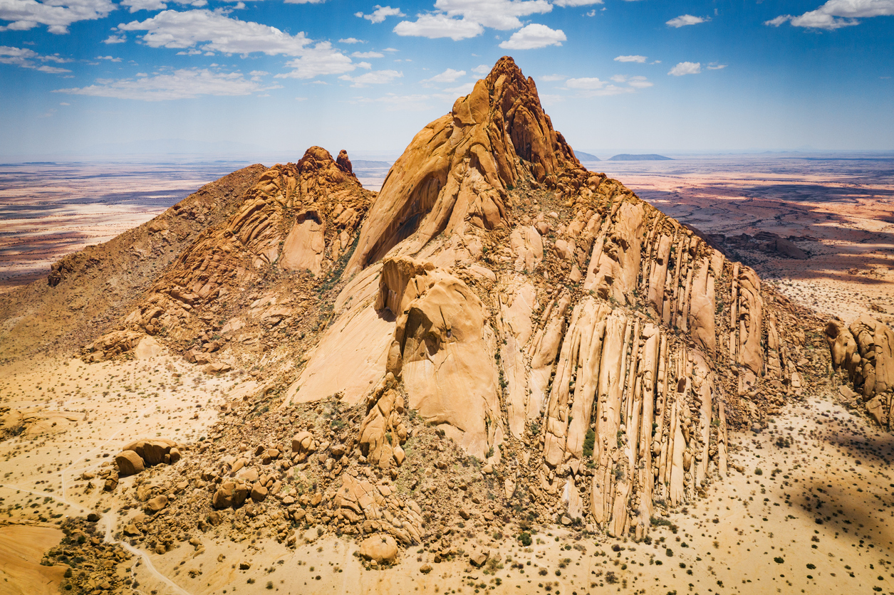
    Aerial view of the granite mountain formations of Spitzkoppe in Namibia surrounded by arid desert plains.15

    Spitzkoppe

    Spitzkoppe is a granite mountain massif rising abruptly from the desert plains of Damaraland in Namibia, known for its exposed rock formations and isolated peaks. The landscape is defined by smooth granite domes, scattered boulder fields, and open desert surroundings. Compositions form through scale, rock texture, and the relationship between foreground granite formations and the surrounding desert landscape.

    Aerial coastline of large Namib Desert dunes meeting the Atlantic Ocean on Namibia’s Skeleton Coast.20

    Skeleton Coast

    The Skeleton Coast is structured as a desert-ocean atmospheric system, where composition is defined by contrast, exposure, and environmental isolation across a narrow coastal corridor. Unlike inland desert regions, the coastline is heavily influenced by oceanic conditions. Fog moving inland from the Atlantic softens dune structure and reduces visibility, while strong coastal winds shape exposed beaches and shoreline terrain. For photographers, the region functions through atmosphere and separation. Dunes, shipwrecks, rocky coastlines, and surf become isolated focal points within vast open environments shaped by weather and changing visibility. The visual structure is defined by emptiness and environmental contrast. Sand, rock, surf, fog, and ocean interact across uncluttered terrain, creating strong compositional simplicity and large-scale negative space.

    Lion walking through herds of oryx and springbok near a waterhole in Etosha National Park, Namibia.23

    Etosha National Park

    Etosha National Park is structured as a salt pan and wildlife interaction system, where composition is defined by open terrain, animal movement, and environmental minimalism across large-scale arid plains. The landscape is centred around the Etosha Pan, a massive salt basin surrounded by grassland and seasonal water sources. Waterholes act as concentrated focal points within otherwise expansive open terrain, drawing wildlife into highly visible environments. For photographers, the region functions through openness and behavioural interaction. Wildlife subjects are positioned within uncluttered landscapes, allowing strong separation between animals, terrain, and sky. The visual structure is defined by space and visibility. Flat terrain, sparse vegetation, and broad horizons create minimalist compositions where scale and atmosphere dominate the scene.

    Explore the Full Namibia Route24 stops across Namibia

    Overview

    Namibia is structured as a desert scale system, where openness, isolation, and geological form dominate the landscape. Unlike forested or alpine environments, visual structure is created through terrain shape, light direction, atmospheric clarity, and separation between features across vast distances.

    The country contains multiple distinct desert environments. Coastal regions are influenced by Atlantic fog systems, while inland areas are shaped by dunes, rock formations, gravel plains, and dry river valleys. Elevation changes are often gradual, with isolated mountains and ridges emerging abruptly from otherwise open terrain.

    For photographers, Namibia functions through scale and minimalism. Compositions are built from clean separation between foreground and background elements, with strong emphasis on texture, geometry, and light across uncluttered landscapes.

    The visual structure is defined by space and contrast. Dunes, mountains, trees, salt pans, and wildlife are often isolated within expansive environments, creating strong compositional simplicity.
    Key Photography Subjects

    • Towering sand dunes and curved dune ridgelines
    • Dead camel thorn trees within clay pans
    • Desert mountains and isolated granite formations
    • Open gravel plains and minimal desert terrain
    • Coastal fog systems and abandoned structures
    • Wildlife positioned against sparse landscapes
    • Strong directional light and shadow across dunes and rock

    Gallery

    Workshops in Namibia

    No upcoming workshops scheduled for Namibia at this time.

    Check back soon or explore other destinations.