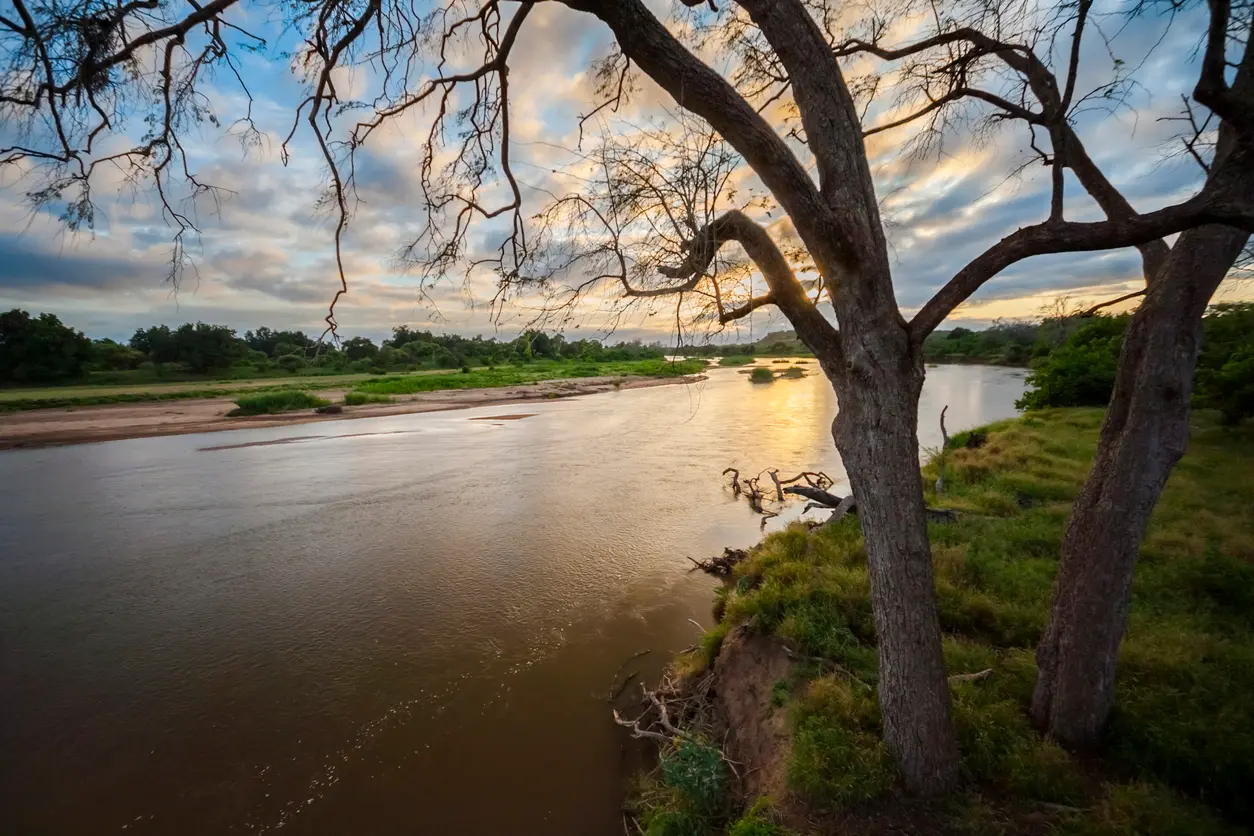
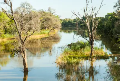
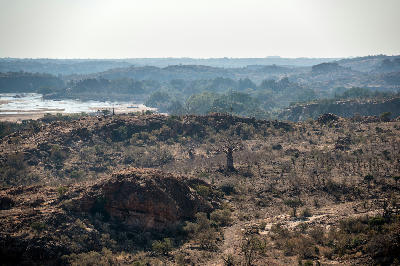
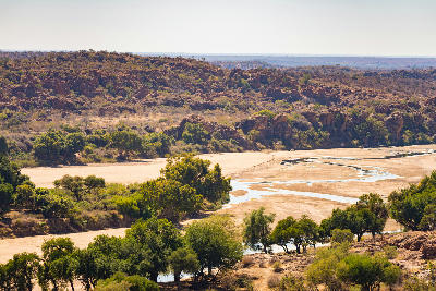
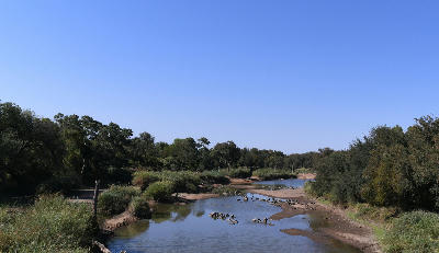
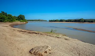
The Limpopo River winds through the Mapungubwe landscape along the borders of South Africa, Botswana and Zimbabwe.
The Limpopo River forms one of southern Africa's most iconic frontier landscapes, flowing through remote wilderness along the northern boundary of South Africa. Riverine forests, floodplains, sandstone cliffs and ancient baobabs combine to create a distinctive landscape that defines the northern edge of the Mapungubwe region.
-22.17293, 29.41813
Gallery
Quick Facts
Access
Roadside / Step-out
0–5 min
Elevation Gain
10 m
Best Light
Low-angle light reflects from the water surface, enhances the texture of riverine vegetation and creates depth across the floodplains and surrounding landscapes
Why This Light
Season
Year-Round Stable
Summer brings flowing river channels, lush vegetation and dramatic storm skies across the floodplain landscape. Winter offers clearer visibility, softer colours and open views through the riverine forests that reveal the structure of the surrounding wilderness.
Crowds
Usually Quiet
Restrictions
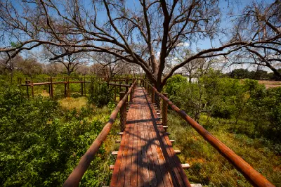
Most viewpoints are accessed via roads within Mapungubwe National Park and surrounding conservation areas. The best photographic opportunities are generally reached from roadside viewpoints and short walks to river overlooks.