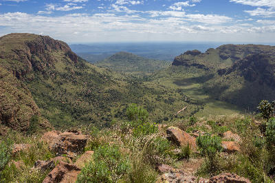
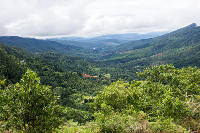
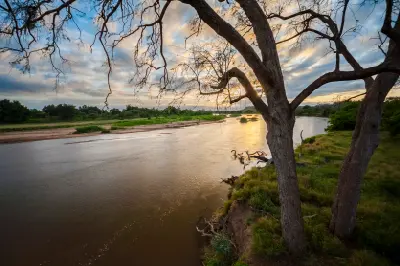
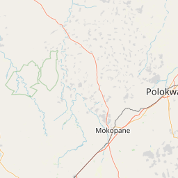
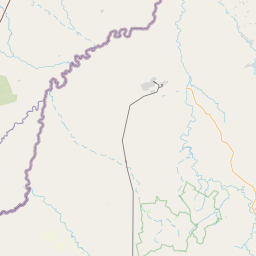
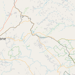
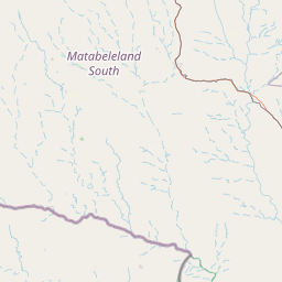
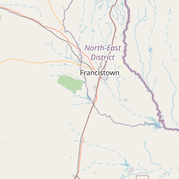
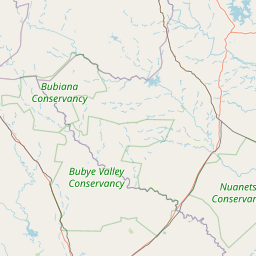
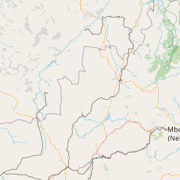
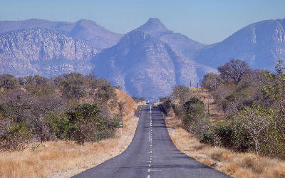
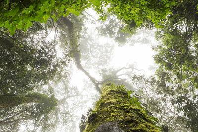
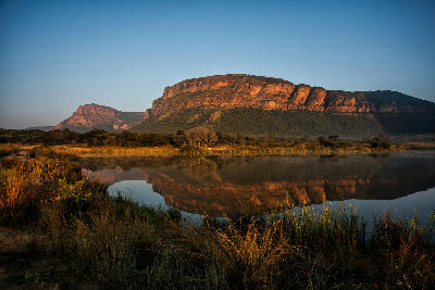
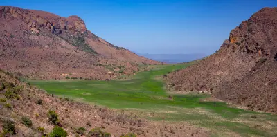
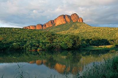
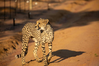
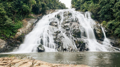
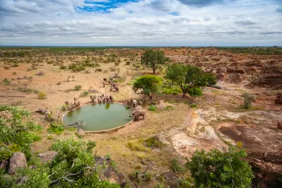
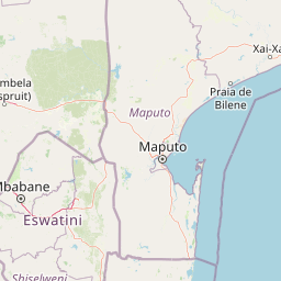
Limpopo is structured around a series of distinct landscape systems linked by major river valleys and broad savanna environments. The province combines the northern wilderness of Kruger National Park with the Soutpansberg Mountains, Makgabeng Plateau, Waterberg fringe landscapes, and the culturally significant border regions surrounding the Limpopo River.
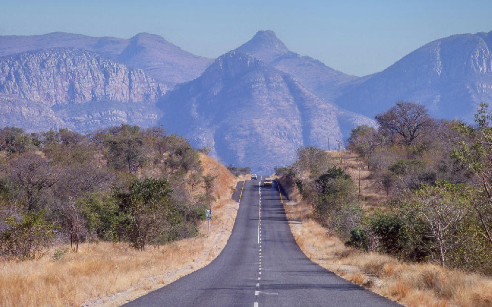
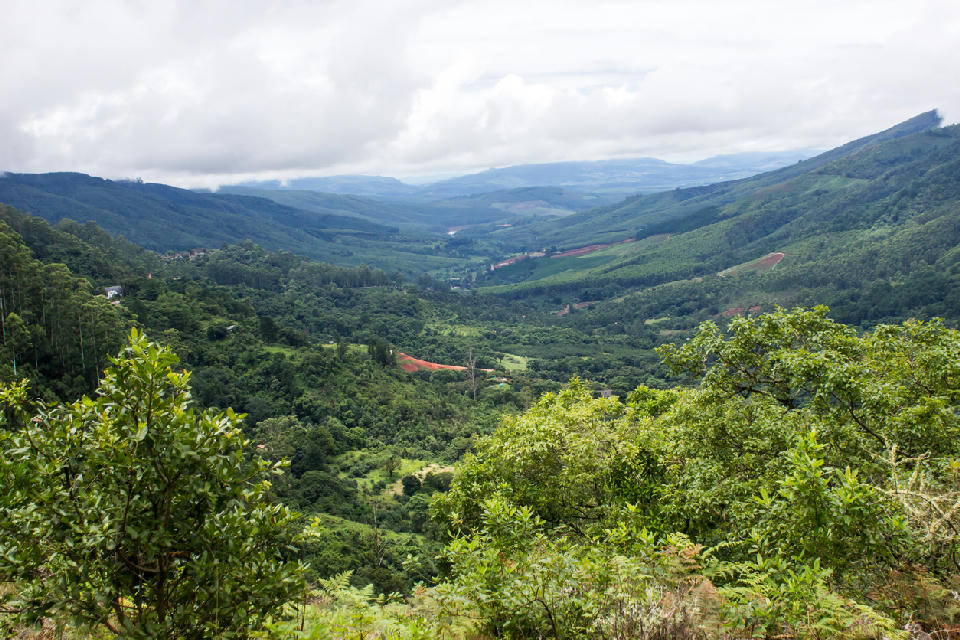
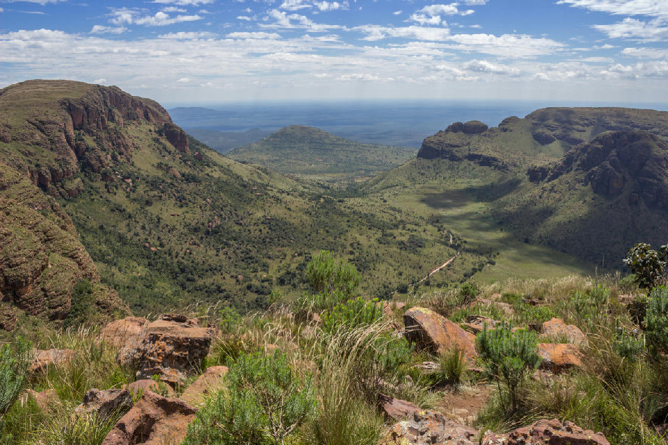
Each landscape unit functions as a distinct geographic environment with strong relationships between geology, vegetation, water systems, and settlement patterns. Mountain ranges create elevated viewpoints and ecological diversity, while extensive plains and river valleys provide continuity across the wider landscape.
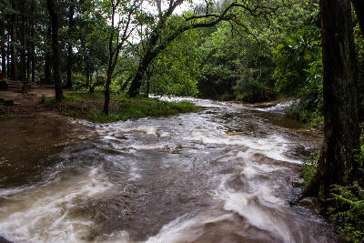
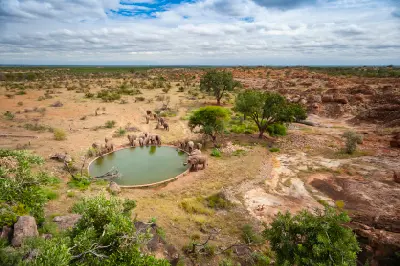
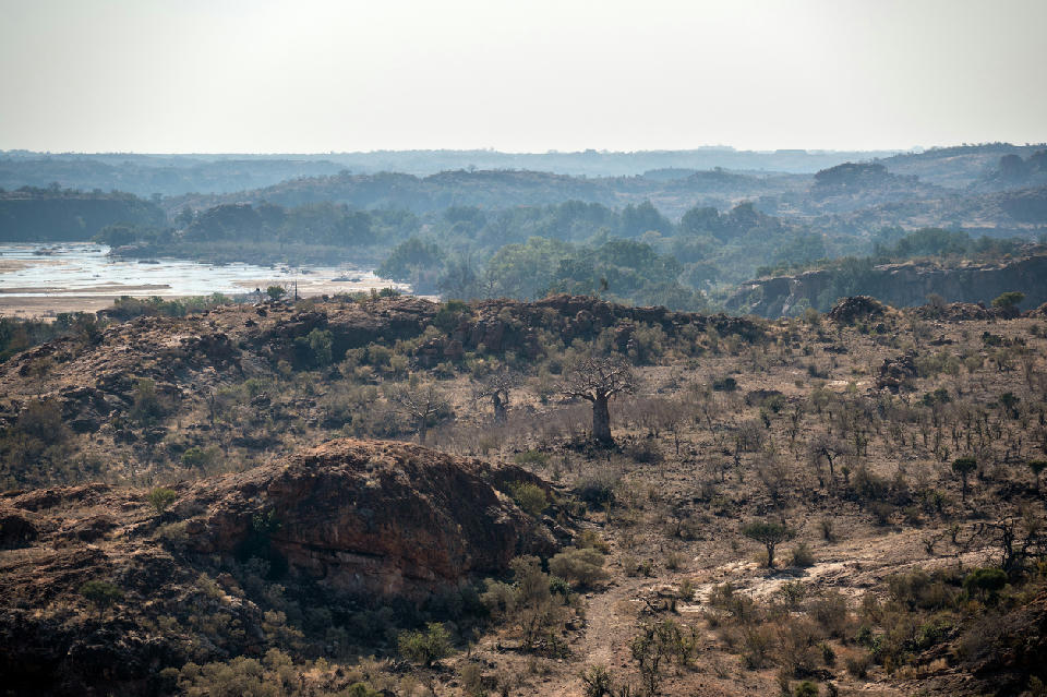
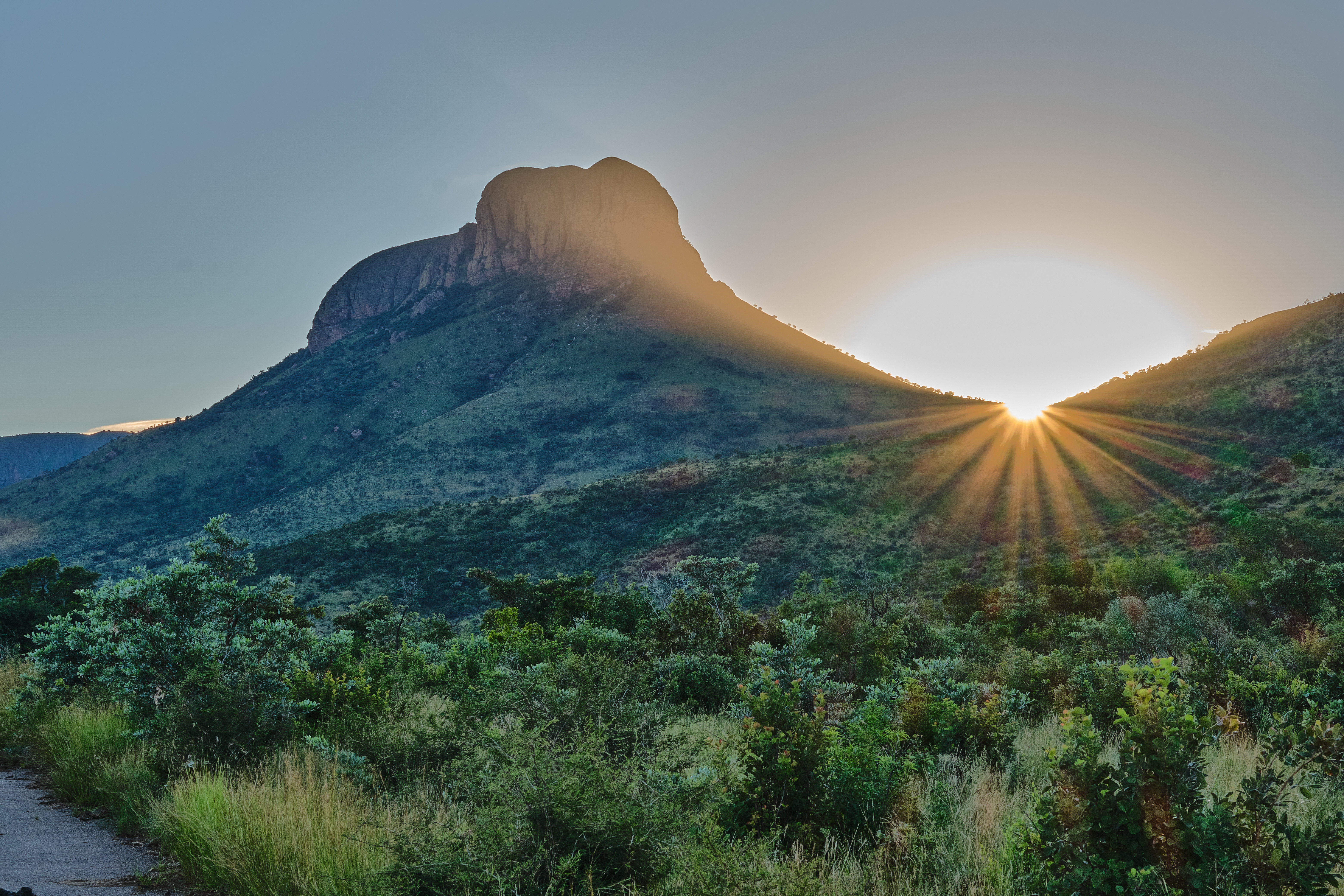
The visual structure of the province is defined by alternating bands of bushveld, river corridors, mountain ridges, rocky outcrops, and open savanna. Baobab trees, seasonal rivers, dramatic skies, and changing vegetation create continual variation while maintaining the region's identity as one of South Africa's largest wilderness and conservation landscapes.



 01
01