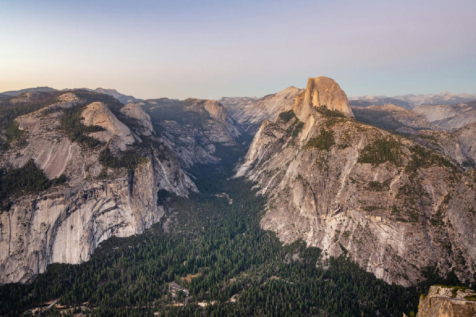
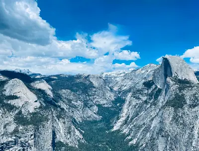
Glacier Point view across Yosemite Valley with Half Dome and surrounding granite ridgelines in evening light.
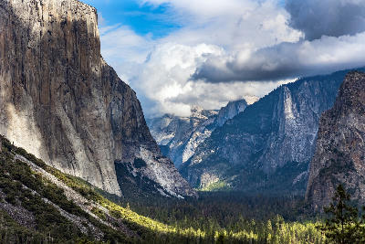
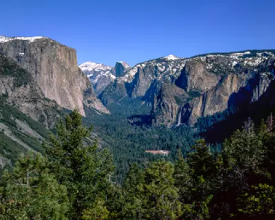
Yosemite Valley is a glacial valley in Yosemite National Park. It is defined by sheer granite walls, a flat valley floor, and prominent rock formations rising above the landscape.
Gallery
Key POIs in Yosemite Valley
Nearby Places
View all on mapTaft Point
landmark — 2.2 km
Glacier Point & High Yosemite
area district — 2.9 km
Washburn Point
landmark — 3.2 km
Olmsted Point
landmark — 13.6 km
Tenaya Lake
water feature — 16.7 km
Tuolumne Meadows & Tioga Pass
area district — 27.1 km
Ansel Adams Wilderness
area district — 36.0 km
Eastern Sierra Nevada
Tioga Pass
landmark — 36.4 km
Overview
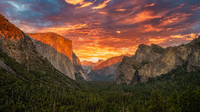
Yosemite Valley is formed by a deep glacial trough with near-vertical granite cliffs on both sides, creating a wide but enclosed valley. The valley floor is relatively flat, with meadows, forest, and the Merced River running through the centre, providing clear foreground structure. Photographically, the area works through scale and focal points. Large formations such as El Capitan and Half Dome dominate compositions, often combined with river, meadow, or forest foregrounds. Light interacts strongly with the granite walls, with directional light, shadow, and seasonal conditions shaping contrast and depth across the valley.
Key photography subjects
- Sheer granite walls and dominant rock formations
- Flat valley floor with river and meadow foregrounds
- Iconic peaks including El Capitan and Half Dome
- Layered compositions from valley floor to cliff tops
- Light and shadow defining texture across granite faces