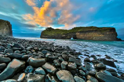
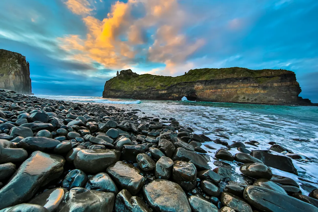
Hole in the Wall sea arch on the Wild Coast of the Eastern Cape, South Africa, viewed from a rocky shoreline beneath colourful clouds and evening light.

    Hole in the Wall rises from the Indian Ocean along the Wild Coast of the Eastern Cape, forming one of South Africa’s most iconic coastal landmarks.

    Eastern Cape

    The Eastern Cape forms one of South Africa's most geographically diverse regions, stretching from the rugged Wild Coast and Indian Ocean shoreline to the semi-arid interior landscapes of the Great Karoo. The region includes dramatic coastal cliffs, remote beaches, mountain ranges, river valleys, indigenous forests, and vast open plains that create some of the country's most varied photographic landscapes.

    The terrain is shaped by a series of major natural systems. Along the coast, powerful ocean forces have carved cliffs, estuaries, and headlands, while inland mountain ranges such as the Amathole, Winterberg, and Stormberg create elevated landscapes of forests, grasslands, and river catchments. Further west, the landscape gradually transitions into the dry open spaces of the Karoo.

    Seasonal variation influences vegetation, water levels, atmospheric conditions, and wildlife activity throughout the region. Coastal mist, summer thunderstorms, winter light, and changing vegetation patterns contribute to distinct seasonal character across the Eastern Cape's diverse landscapes.

    Geographic discovery

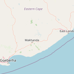
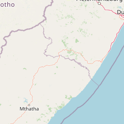
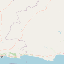
    Explore Eastern Cape by Area

    Choose a part of the Eastern Cape to discover its landscapes, photographic character, and locations.

    Open interactive Explore

    Explore Areas in Eastern Cape

    Open in Explore
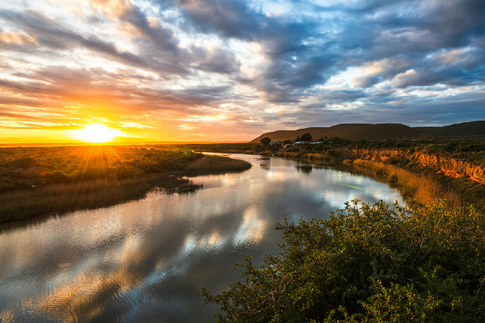
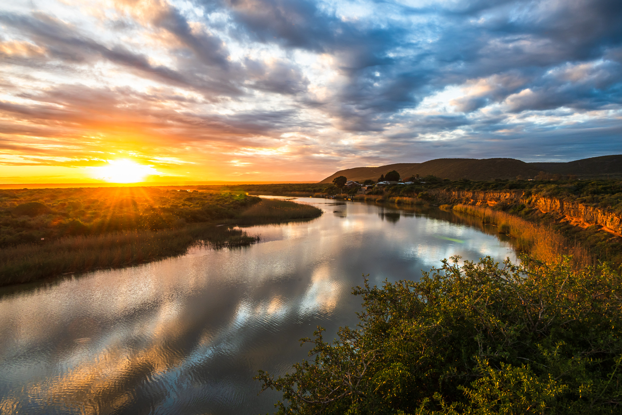
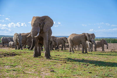
    Sunset reflects across the calm waters of the Sundays River near Addo, where wetlands, reed beds and river channels wind toward the coast.

    Addo & Sundays River

    The Addo & Sundays River region is structured around the Sundays River catchment and the protected wilderness of Addo Elephant National Park. Rivers, dense thicket, coastal dune systems, and open plains combine to form one of South Africa's most ecologically diverse conservation landscapes. Across the region, wildlife reserves, fertile agricultural valleys, wetlands, estuaries, and extensive dune fields create a gradual transition between the inland interior and the Indian Ocean. The Sundays River provides the defining geographical corridor, while the Alexandria Dune Fields and Woody Cape forests introduce entirely different coastal environments within the same landscape system. The visual structure of the region is defined by strong ecological contrast. Elephant habitat, winding river channels, coastal wetlands, towering sand dunes, and expansive natural vegetation create varied compositions where wildlife, landscape, and coastal scenery combine within a single photographic destination.

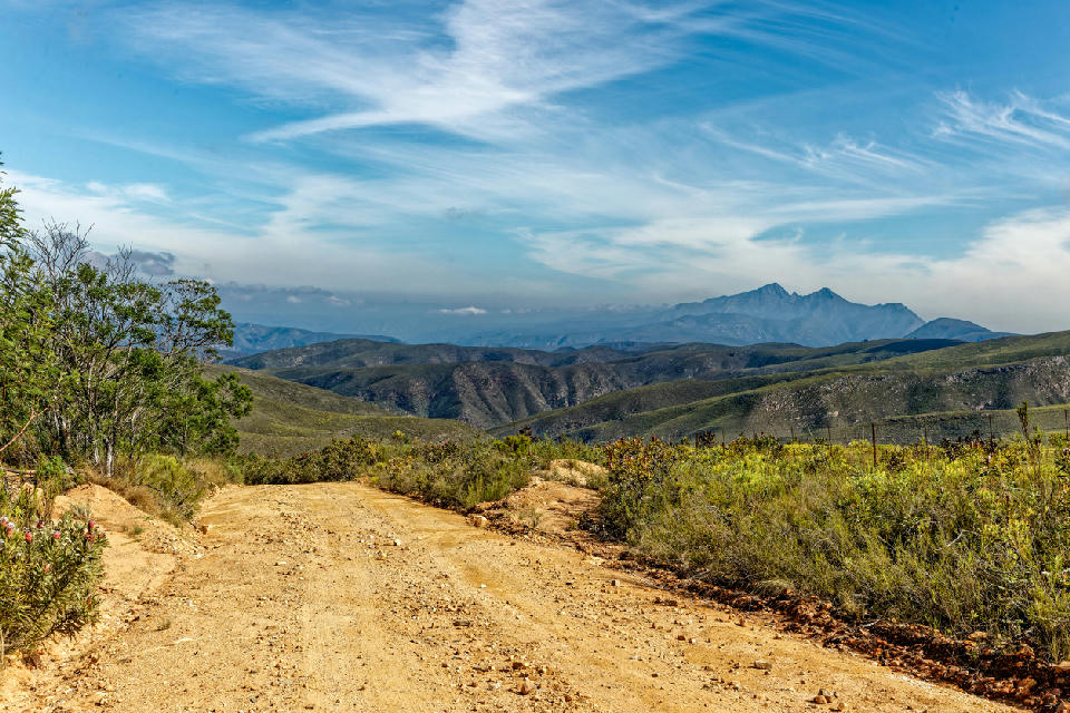
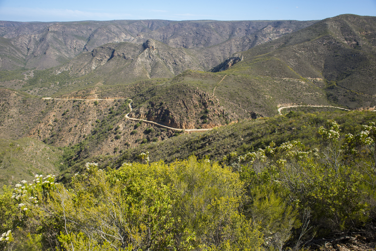
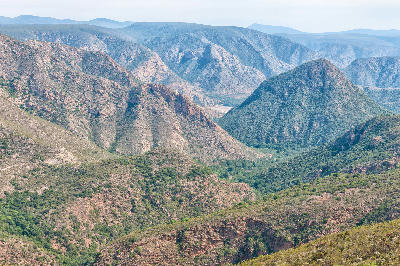
    Gravel mountain road overlooking the Baviaanskloof mountain ranges from the Elandsberg Mountains near Patensie, South Africa.

    Baviaanskloof & Kouga Mountains

    The Baviaanskloof & Kouga Mountains are structured around a network of folded mountain ranges extending across the eastern Cape Fold Mountains. These rugged ranges create one of South Africa's most extensive wilderness regions, where remote valleys, mountain passes, and river systems dominate the landscape. Across the region, steep ridgelines, deep valleys, and isolated catchments create strong geographical separation between different parts of the mountain system. Rivers such as the Baviaanskloof and Kouga have carved extensive valleys through resistant sandstone formations, while mountain passes provide access through terrain that remains largely undeveloped and sparsely populated. The visual structure of the region is defined by repeating mountain ridges, broad wilderness valleys, exposed rock formations, and elevated viewpoints. Long sightlines, changing weather patterns, and dramatic shifts in elevation create layered compositions where scale, remoteness, and geological structure become the defining characteristics of the landscape.

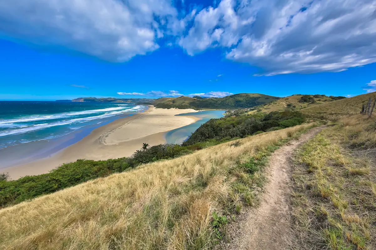
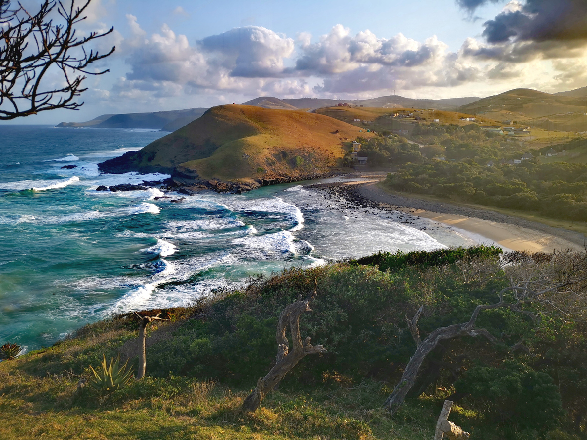
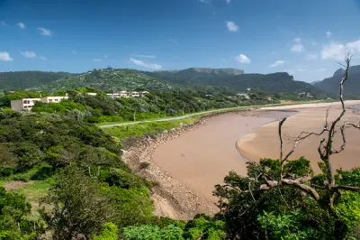
    Mbotyi River Mouth estuary, beach and coastal hills viewed from an elevated hillside on the Wild Coast, Eastern Cape, South Africa.

    Wild Coast

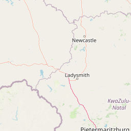
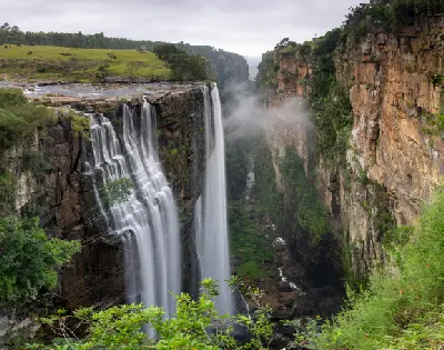
    The Wild Coast is structured around a sequence of deeply dissected river catchments separated by elevated coastal ridges extending along the Eastern Cape shoreline. Large rivers, estuaries, waterfalls, cliffs, and remote beaches create a landscape where freshwater and marine environments continually intersect. Unlike the protected wilderness systems of Addo or Baviaanskloof, the Wild Coast remains a living cultural landscape where traditional villages occupy the high ground above an exceptionally rugged coastline. Each valley possesses its own distinct character. Wide estuaries, dramatic cliff systems, isolated beaches, waterfalls, offshore rock formations, and rolling coastal grasslands create remarkable geographic variety within a relatively compact stretch of coastline. River mouths such as the Mzimvubu, Mthatha, Mapuzi and Mngazi provide natural focal points, while coastal landmarks including Hole in the Wall and Magwa Falls contribute additional geological diversity. The visual structure of the region is defined by the constant interaction between land and ocean. Steep cliffs, elevated viewpoints, winding estuaries, powerful surf, and expansive coastal panoramas create layered compositions throughout the coastline. Light is continually influenced by ocean weather systems, sea mist, cloud movement, and changing tides, producing dramatic conditions from sunrise through sunset across one of South Africa's premier coastal landscape destinations.

    Photographic journey

    Eastern Cape Photography Route

    Eastern Cape Route · 23 stops

    Winding gravel road crossing the rugged mountain slopes of Baviaanskloof Pass in the Eastern Cape, South Africa.01

    Baviaanskloof Pass

    Baviaanskloof Pass, historically known as the Baviaanskloofsleutel, forms one of the main gateways into the Baviaanskloof Wilderness Area. The route climbs through rugged mountain terrain, providing expansive views across deep valleys, sandstone ridges and the remote landscapes that define one of South Africa's largest wilderness regions.

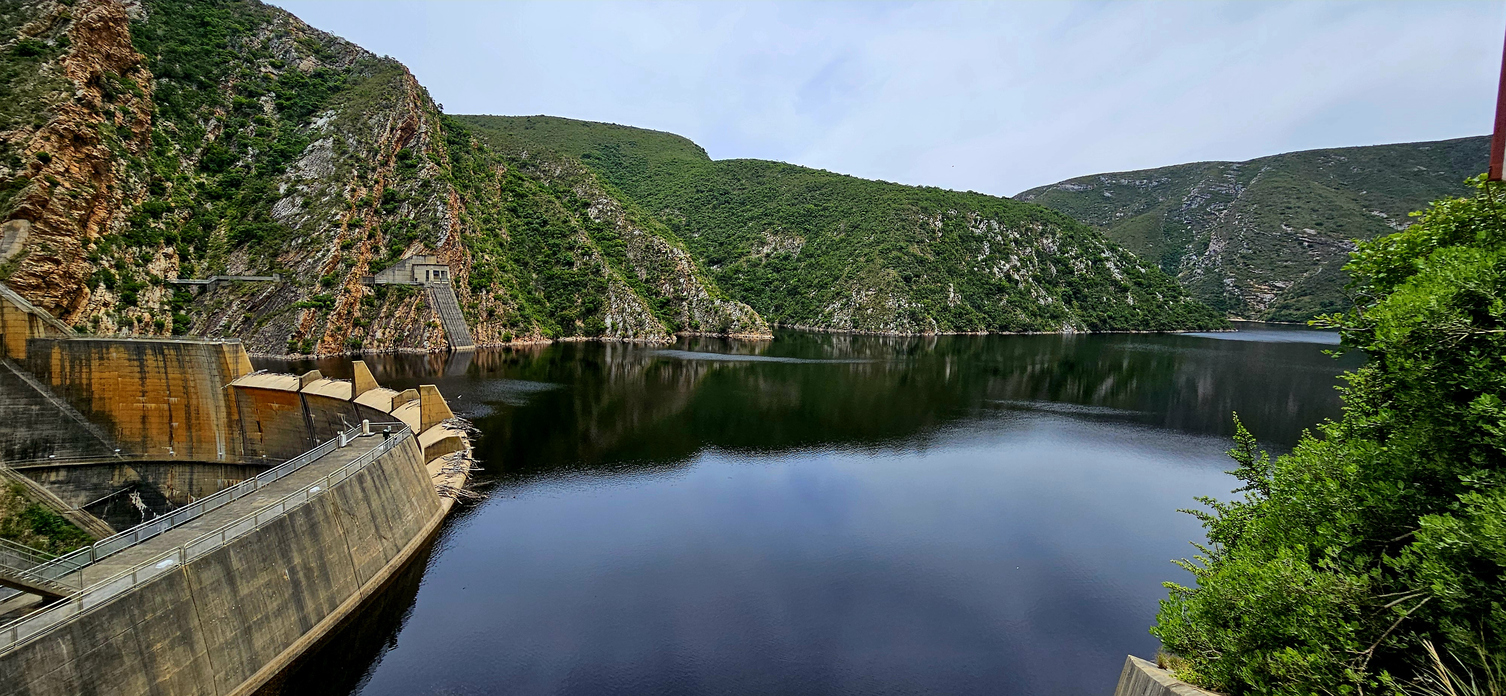
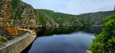
    Kouga Dam wall and reservoir surrounded by the rugged Kouga Mountains in the Eastern Cape, South Africa.05

    Kouga Dam

    Kouga Dam lies within a dramatic mountain setting where steep ridges, deep valleys and open water combine to create one of the most distinctive landscapes in the Kouga Mountains. The reservoir forms an important water resource for the Eastern Cape while providing striking photographic contrasts between rugged wilderness terrain and expansive water surfaces.

    Sunset reflects across the calm waters of the Sundays River near Addo, where wetlands, reed beds and river channels wind toward the coast.10

    Addo & Sundays River

    The Addo & Sundays River region is structured around the Sundays River catchment and the protected wilderness of Addo Elephant National Park. Rivers, dense thicket, coastal dune systems, and open plains combine to form one of South Africa's most ecologically diverse conservation landscapes. Across the region, wildlife reserves, fertile agricultural valleys, wetlands, estuaries, and extensive dune fields create a gradual transition between the inland interior and the Indian Ocean. The Sundays River provides the defining geographical corridor, while the Alexandria Dune Fields and Woody Cape forests introduce entirely different coastal environments within the same landscape system. The visual structure of the region is defined by strong ecological contrast. Elephant habitat, winding river channels, coastal wetlands, towering sand dunes, and expansive natural vegetation create varied compositions where wildlife, landscape, and coastal scenery combine within a single photographic destination.

    Elevated view of Coffee Bay coastline with waves, rocky shoreline, grassy headlands and scattered rural settlements on the Wild Coast.14

    Coffee Bay

    Coffee Bay is one of the best-known destinations on the Wild Coast, combining sweeping beaches, grassy headlands and traditional rural landscapes. The area serves as a gateway to Hole in the Wall and provides some of the region's most accessible coastal photography opportunities.

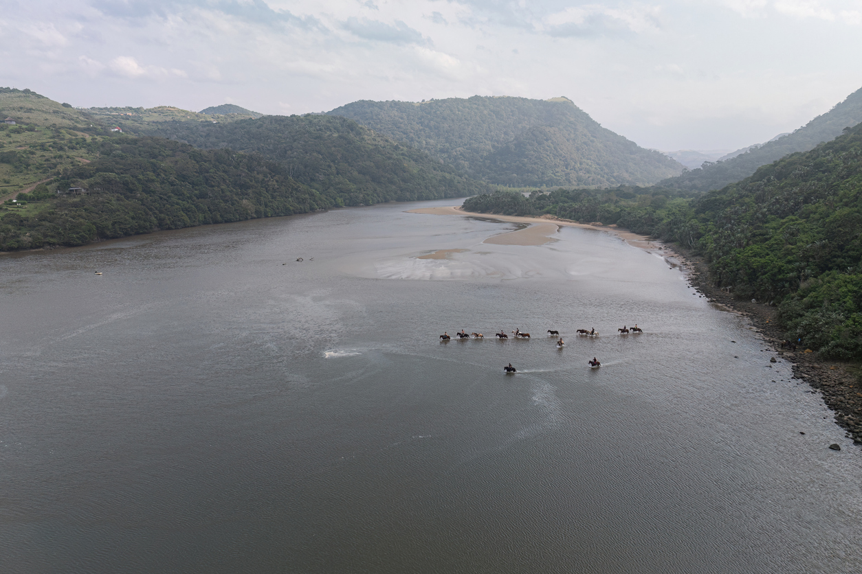
    Aerial view of horse riders crossing the Mngazi River estuary surrounded by indigenous forest and sandbanks on South Africa's Wild Coast.19

    Mngazi River Mouth

    Mngazi River Mouth forms one of the most attractive estuary systems on the Wild Coast. The combination of winding tidal channels, sandy shoreline, coastal vegetation and elevated viewpoints creates a diverse landscape where river, beach and ocean environments meet.

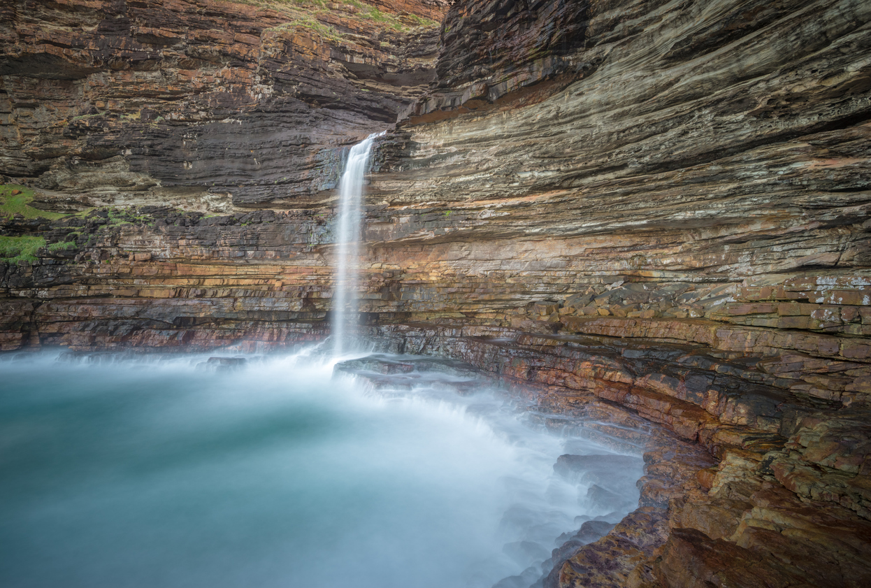
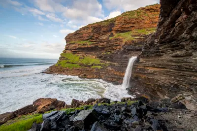
    Waterfall Bluff waterfall dropping into a rocky ocean pool beneath towering stratified cliffs on the Wild Coast of the Eastern Cape.23

    Waterfall Bluff

    Waterfall Bluff is one of South Africa's most remarkable coastal landmarks and among the few places in the world where a waterfall flows directly into the ocean. Deep sandstone gorges, rugged sea cliffs, rolling grasslands and powerful surf combine to create one of the Wild Coast's most distinctive photography destinations.

    Explore the Full Eastern Cape Route23 stops across the Eastern Cape

    Overview

    The Eastern Cape is structured around a series of contrasting landscape systems extending between the Indian Ocean coastline and the interior plateau. The region contains some of South Africa's most remote coastal environments alongside mountain catchments, fertile river valleys, indigenous forests, and semi-arid inland plains.

    Across the province, rivers such as the Mzimvubu, Great Fish, Sundays, and Gamtoos have shaped the terrain over millions of years. These river systems connect mountains, valleys, forests, estuaries, and coastal environments, creating a landscape characterised by strong transitions between different ecological zones and landforms.

    The visual structure of the region is defined by variety and contrast. Rugged coastlines, forested valleys, open grasslands, desert plains, mountain ridges, and winding river systems create a diverse range of compositions. Seasonal weather, changi
    Key Photography Subjects

    • Wild Coast cliffs, beaches, and ocean headlands
    • Remote river mouths and estuarine landscapes
    • Indigenous forests and deeply incised valleys
    • Mountain ridges and elevated viewpoints
    • Rolling grasslands and rural cultural landscapes
    • Karoo plains and semi-arid wilderness scenery
    • Atmospheric coastal light and changing weather systems

    Gallery

    Workshops in Eastern Cape

    No upcoming workshops scheduled for Eastern Cape at this time.

    Check back soon or explore other destinations.