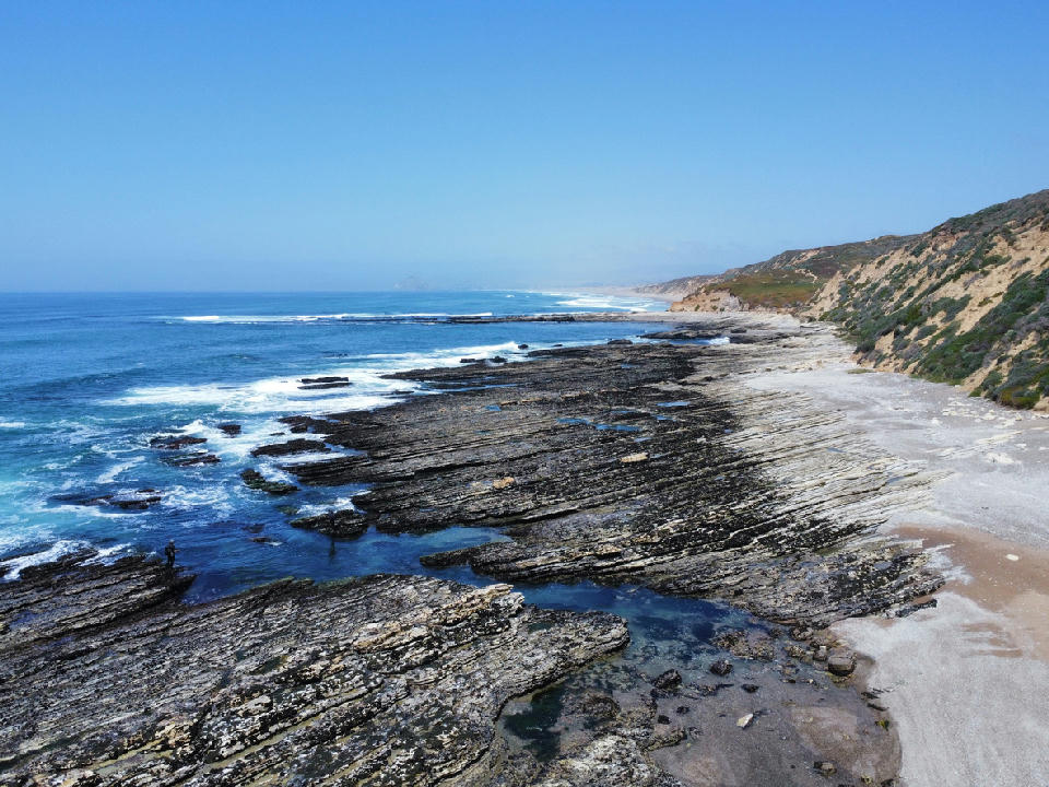
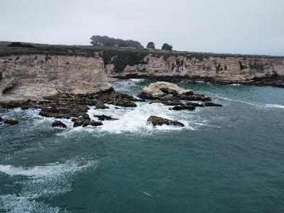
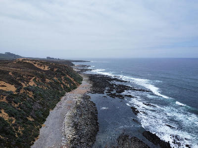
Layered wave-cut rock platforms and tidal pools along the Montaña de Oro coastline near Bluff Trail, California
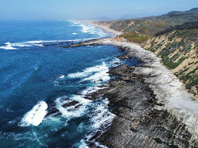
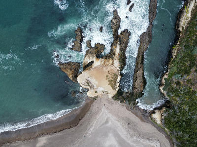
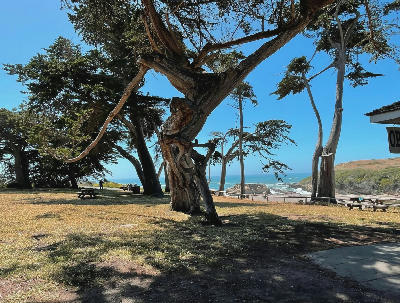
Montaña de Oro State Park is a coastal area defined by rugged cliffs, open shoreline, and exposed rock formations along the Pacific Ocean. The landscape includes headlands, coves, and wave-cut features with strong interaction between land and sea. The composition resolves through structure, motion, and the relationship between cliffs and ocean.
35.29381, -120.86156
Gallery
Quick Facts
Access
Short Walk
5–15 min
Elevation Gain
20 m
Best Light
Light works best when low-angle light moves across the cliffs because it enhances texture and separates rock formations from the ocean.
Why This Light
Season
Seasonally Distinct
Summer has clearer conditions with stable access along coastal trails. Winter introduces stronger swell, cloud, and atmospheric variation that enhances motion and contrast.
Crowds
Usually Quiet
Restrictions
Access via multiple trails and coastal paths; conditions vary depending on location within the park.