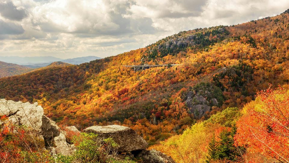
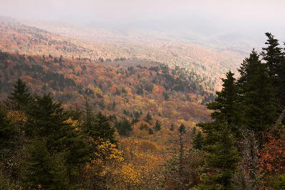
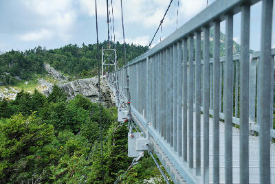
Autumn colour spreads across the Blue Ridge Mountains with Linn Cove Viaduct crossing the slopes near Grandfather Mountain, North Carolina, USA.
The Blue Ridge Parkway is a mountain road corridor running through the Appalachian Highlands of the eastern United States, defined by elevated overlooks, layered forest ridges, and continuous movement through changing mountain terrain. Unlike static mountain landscapes, the parkway functions as a linear scenic system where composition evolves progressively along the route. The roadway follows the crest and slopes of the Blue Ridge Mountains, connecting ridgelines, valleys, forests, and elevated viewpoints across a large geographic area. Elevation changes occur gradually, with long views extending across overlapping mountain layers softened by atmosphere and vegetation. Seasonal conditions strongly influence the visual character of the landscape. Autumn produces extensive colour variation along the corridor, while haze, fog, and shifting weather conditions shape visibility and depth across the mountains.
Gallery
Key POIs in Blue Ridge Parkway
Nearby Places
View all on mapNewfound Gap
landmark — 47.4 km
Appalachian & Smoky Mountains
Sliding Rock
water feature — 66.6 km
Appalachian & Smoky Mountains
Looking Glass Falls
landmark — 66.8 km
Appalachian & Smoky Mountains
Appalachian Waterfalls & Forests
area district — 75.6 km
Appalachian & Smoky Mountains
Morton Overlook
landmark — 102.6 km
Appalachian & Smoky Mountains
Whitewater Falls
landmark — 103.5 km
Appalachian & Smoky Mountains
Great Smoky Mountains
area district — 108.7 km
Appalachian & Smoky Mountains
Kuwohi (Clingmans Dome)
landmark — 110.5 km
Appalachian & Smoky Mountains
Overview
The Blue Ridge Parkway is structured as a linear scenic mountain corridor, where movement through the landscape is central to the photographic experience. Unlike fixed-location mountain systems, the visual identity of the parkway is created through progression between overlooks, forests, ridges, and valleys. Elevated viewpoints positioned along the route reveal layered mountain forms extending into atmospheric haze. Forest corridors and winding roads create directional structure, while changing elevation continuously alters perspective across the terrain. For photographers, the region functions through sequential composition. Each section of roadway presents variations in layering, atmosphere, forest density, and seasonal colour, producing a connected but evolving landscape system. The visual structure is defined by movement and repetition. Repeating ridgelines, curving roads, and shifting viewpoints generate rhythm across the landscape while atmospheric conditions soften separation between mountain layers.
Key photography subjects
- Elevated overlooks across layered Appalachian ridges
- Curving mountain roads following ridge systems
- Atmospheric haze separating distant mountain layers
- Forest corridors and roadside compositions
- Seasonal autumn colour across mountain slopes
- Long-distance views across rolling terrain
- Light and weather shaping visibility and depth
Workshops in Blue Ridge Parkway
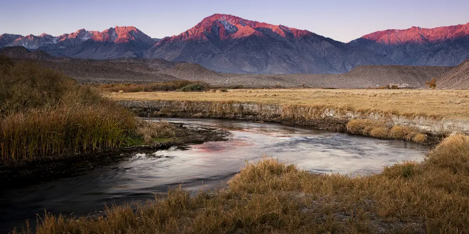
Autumn in Eastern Sierra

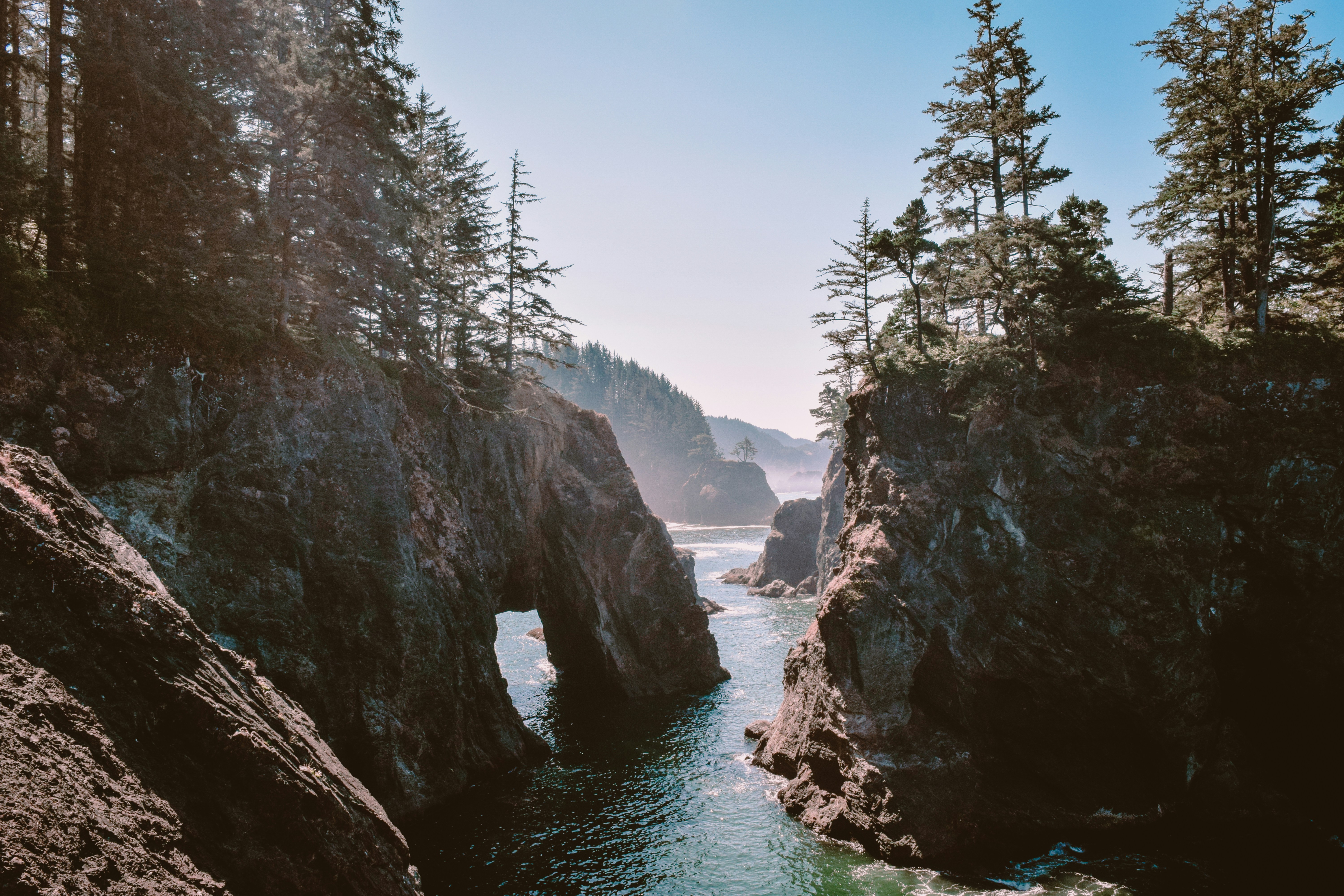
Oregon Coast Adventure Photography Workshop
Autumn in Utah Badlands