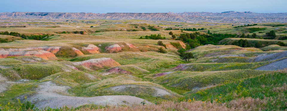
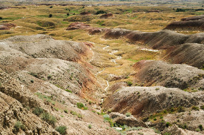
View from Sage Creek area showing rolling prairie hills and colourful badlands formations in Badlands National Park, South Dakota.
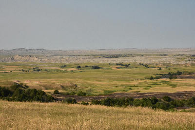
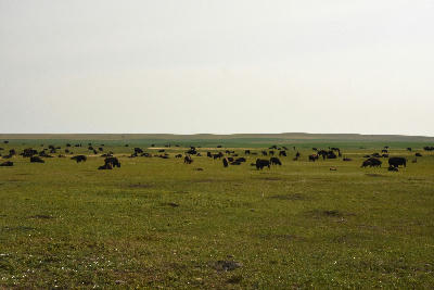
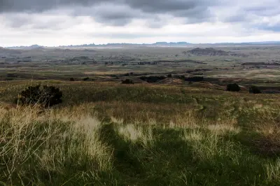
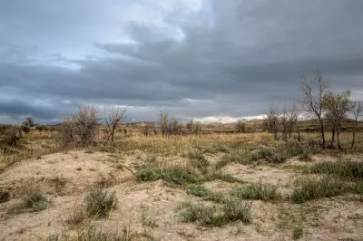
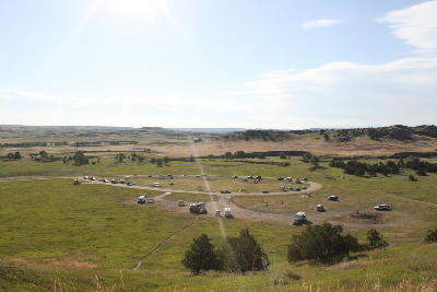
Sage Creek Rim Road is a gravel route in Badlands National Park that follows the western edge of the badlands, overlooking open prairie and distant formations. The landscape is defined by wide grasslands transitioning into eroded ridges. Compositions form through scale, negative space, and the contrast between foreground prairie and distant badlands.
43.85341, -102.45751
Gallery
Quick Facts
Access
Roadside / Step-out
0–5 min
Elevation Gain
5 m
Best Light
Low-angle light enhances separation between prairie and badlands and adds depth across the open landscape.
Why This Light
Season
Seasonally Distinct
Summer produces pale grass tones and flatter contrast across the prairie under harsh light. Winter brings softer light that enhances separation between grassland and badlands while revealing more defined structure in distant formations.
Crowds
Usually Quiet
Restrictions
Gravel road conditions vary and can become difficult or impassable after rain, especially without high-clearance vehicles.