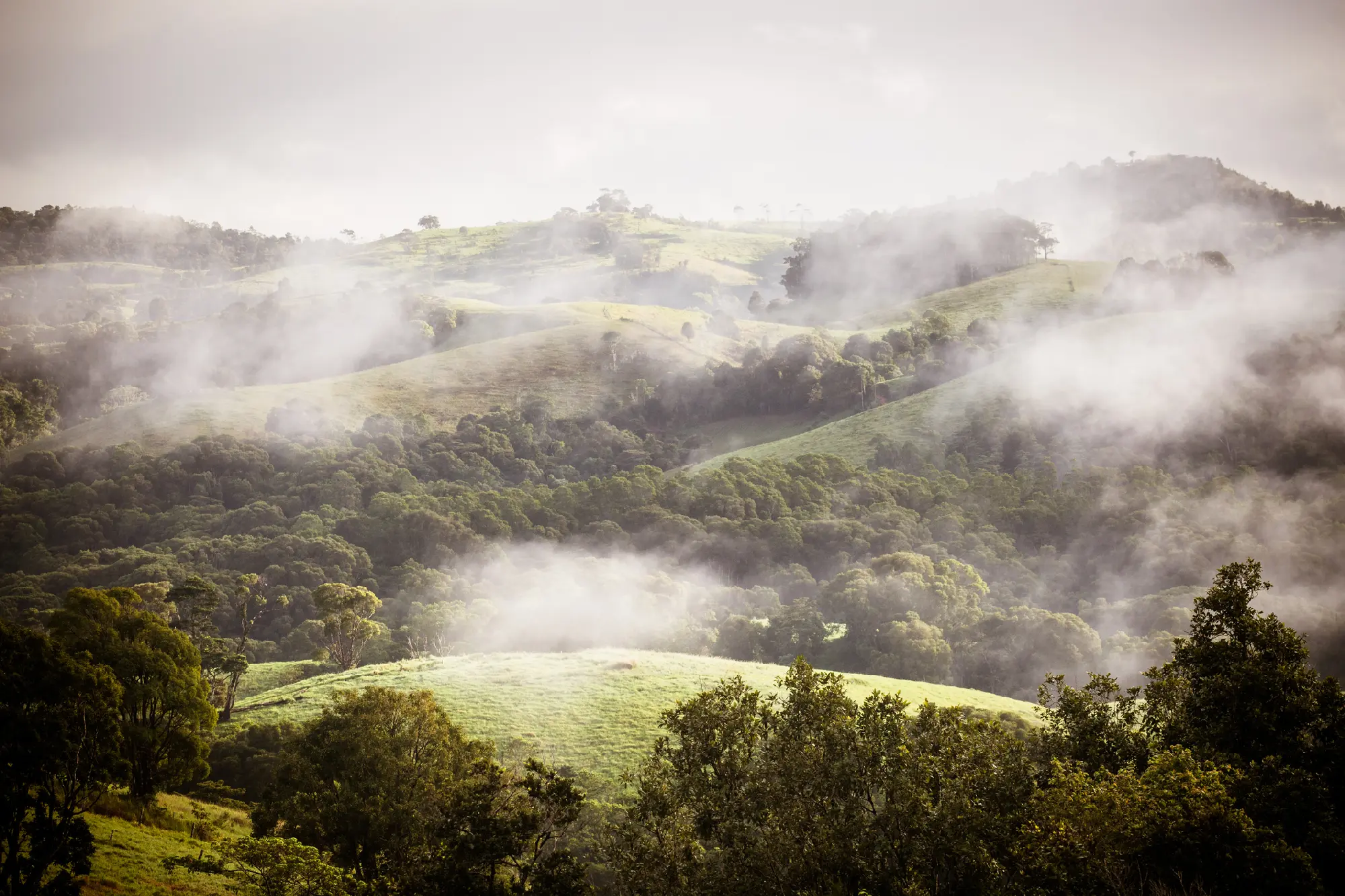
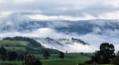
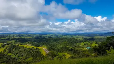
Morning mist drifts across the rolling green hills and forested valleys of the Atherton Tablelands, as soft winter sunlight illuminates Queensland's tropical highlands.
The Atherton Tablelands form a lush volcanic highland behind Queensland's tropical coast, combining crater lakes, waterfalls, rainforest and rolling agricultural country. Cooler elevations and fertile volcanic soils create a landscape markedly different from both the coastal Daintree rainforest and the Great Barrier Reef below.
Gallery
Key POIs in Atherton Tablelands
Overview
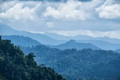
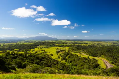
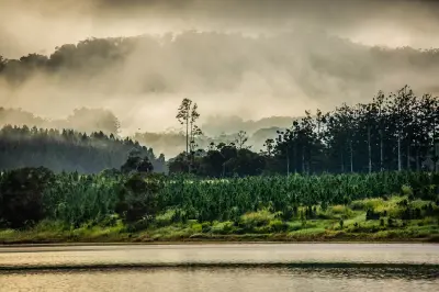
The tablelands rise west of Cairns across an elevated plateau shaped by volcanic activity and high tropical rainfall. Crater lakes occupy ancient volcanic depressions, while rainforest surrounds waterfalls, creeks and deep valleys across the wetter eastern highlands. Open farmland, rolling hills and isolated pockets of forest create a more varied and spacious landscape farther across the plateau. Photographically, the area is strongest for waterfalls, volcanic lakes and atmospheric highland rainforest. Long-exposure opportunities are abundant along forest streams and major cascades, while calm mornings can produce reflections across crater lakes. Mist and low cloud frequently settle across the higher terrain, adding depth to rainforest landscapes and giving the tablelands a softer character than Queensland's brighter tropical coastline.
Key photography subjects
- Tropical waterfalls and rainforest cascades
- Volcanic crater lakes and reflections
- Highland rainforest, giant trees and dense vegetation
- Rolling farmland and tropical highland landscapes
- Mist, streams and atmospheric forest conditions
Workshops in Atherton Tablelands
No upcoming workshops found in this area.
Browse all workshops →