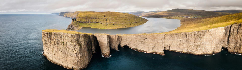
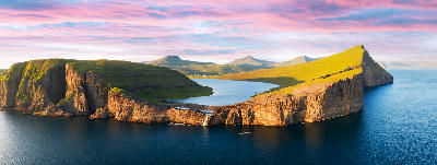
Aerial view of Sørvágsvatn (Leitisvatn), the largest lake in the Faroe Islands, perched above the Atlantic along the cliffs of Vágar Island. The Trælanípa cliffs create the visual illusion of the lake floating above the ocean, with Bøsdalafossur marking its outlet to the sea.
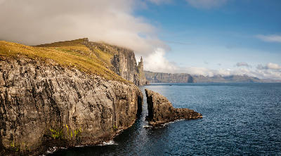
Vágar Island is a western island of the Faroe Islands defined by high sea cliffs, elevated inland lakes, and exposed Atlantic headlands. The island includes the lake Sørvágsvatn and the cliffs of Trælanípa, where steep rock faces rise directly above open ocean. Its landscape combines coastal escarpments with rolling interior terrain shaped by wind and water erosion. The terrain transitions between grass-covered plateaus, sheer basalt cliffs, narrow fjord inlets, and scattered coastal settlements. Elevation changes are abrupt along cliff margins, while inland areas present broader undulating slopes. Seasonal variation influences ocean conditions, cloud movement, and atmospheric clarity, contributing to shifting contrast and surface texture throughout the year.
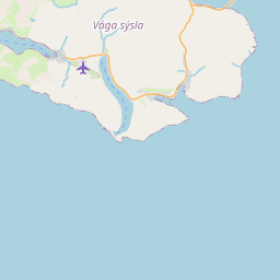
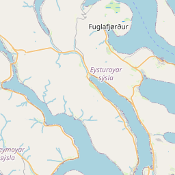
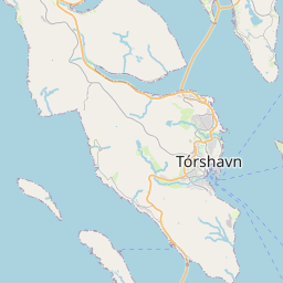
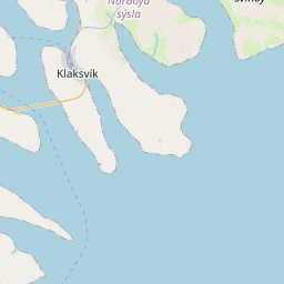
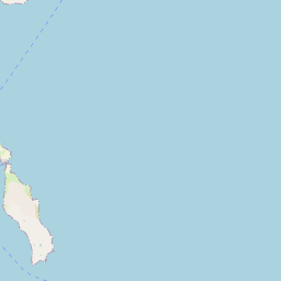
Structured Map of Vágar Island
A connected view of the landscape, organised by regions, areas, and key locations.




Trøllkonufingur Viewpoint
landmark
Sandavágur
town city
Lake Sørvágsvatn
water feature
Trælanípa
landmark
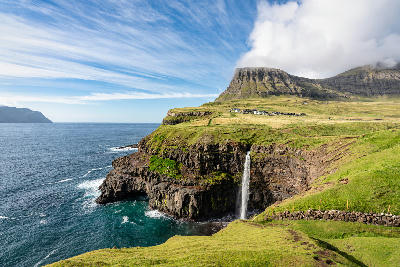
Bøsdalafossur waterfall
water feature
Sørvágur
town city
Bøur
town city
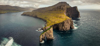
Drangarnir
landmark
Skarðsáfossur
water feature
Gásadalur
town city
Múlafossur waterfall
water feature
Mykines Island
area district
Mykineshólmur
landmark
Areas in Vágar Island
Cities & Towns in Vágar Island
Gallery
Overview
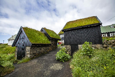
Vágar Island is structured around a series of elevated coastal plateaus bordered by steep sea cliffs and narrow inlets. Erosion has shaped layered rock faces and isolated promontories overlooking the Atlantic. Inland, freshwater lakes sit above surrounding sea level, creating strong visual contrasts between water surfaces and cliff edges. Small settlements occupy sheltered bays, while much of the island remains open and sparsely developed. Light conditions are shaped by maritime exposure, fast-moving cloud systems, and reflected light from surrounding water. Mist, wind, and rapid weather shifts influence depth perception and tonal separation across both coastal and inland landscapes.
Key photography subjects
- Sheer sea cliffs dropping into the Atlantic
- Elevated inland lakes above coastal escarpments
- Layered basalt formations and headlands
- Grass-covered plateaus meeting ocean edges
- Isolated coastal villages in sheltered bays
- Narrow fjord-like inlets and coves
- Seasonal light, atmosphere, and weather effects
Workshops in Vágar Island
No upcoming workshops scheduled for Vágar Island at this time.
Check back soon or explore other destinations.