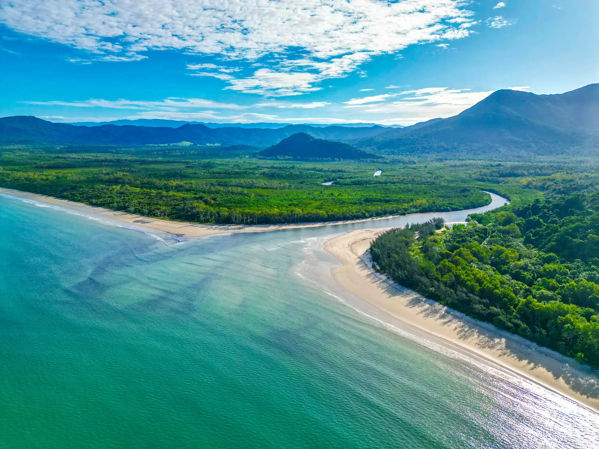
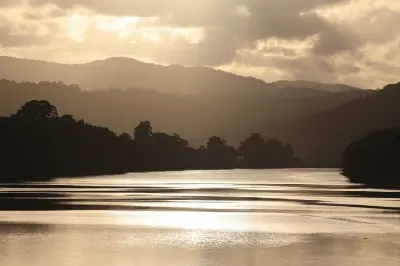
The pristine coastal estuary of the Daintree River National Park, Queensland, Australia.
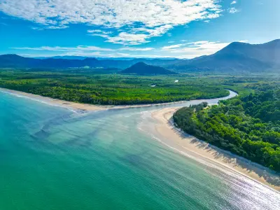
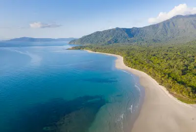
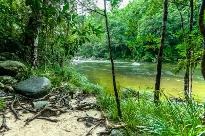
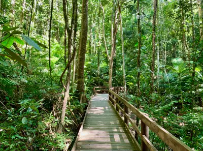
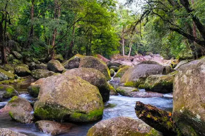
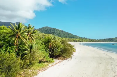
The Daintree Rainforest is a tropical lowland rainforest landscape in Far North Queensland, extending from the Daintree River towards Cape Tribulation within the Wet Tropics World Heritage Area. The area combines dense rainforest, creeks, mangroves, beaches and forested coastal ranges, with Cape Tribulation providing direct rainforest-to-coast views. Its combination of enclosed forest detail, waterways, and coastal landscapes provides varied opportunities for nature, landscape, and wildlife photography.
-16.17003, 145.41589
Gallery

Quick Facts
Access
Short Walk
15–45 min
Elevation Gain
50 m
Best Light
Overcast light reduces harsh contrast beneath the canopy; low-angle light reveals texture in trunks, roots, beaches, and coastal relief.
Why This Light
Season
Seasonally Distinct
Summer brings higher rainfall, wetter forest conditions, fuller creeks, and more frequent tropical weather, with wet vegetation and cloud often changing the appearance of the rainforest. Winter is generally drier, with lower rainfall and different atmospheric conditions across the forest, beaches, and coastal ranges.
Crowds
Busy Midday
Restrictions
The principal Daintree and Cape Tribulation photographic locations are accessible by conventional vehicle and short walks, but access depends on the Daintree River ferry and the condition of Cape Tribulation Road. The area is exposed to heavy rainfall, flooding and tropical weather, so current park alerts, ferry status and road conditions should be checked before travel.