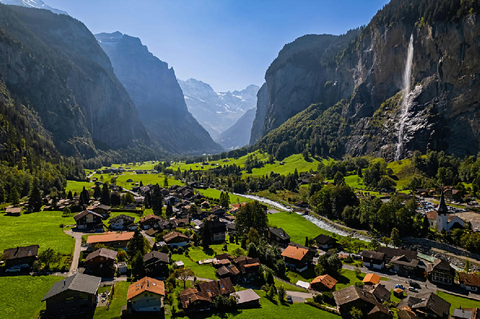
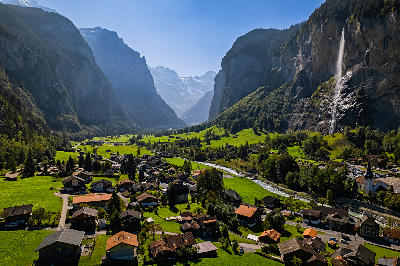
Lauterbrunnen Valley from an elevated position — the village, river, and valley floor framed by cliffs, with Staubbach Falls dropping from the rock face above.
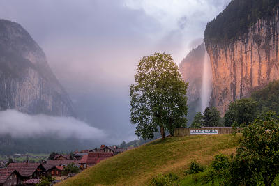
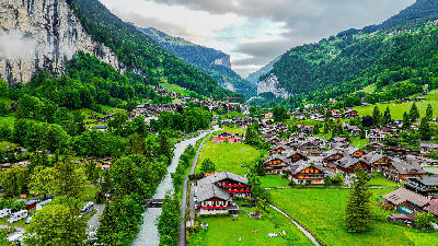
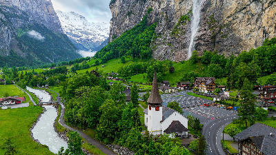
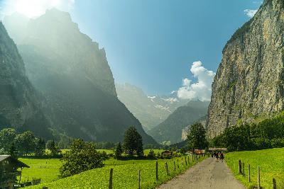
Lauterbrunnen Valley is a glacial valley defined by a wide, flat floor enclosed by steep vertical cliffs on both sides. The valley forms a long, open corridor with waterfalls descending from the surrounding walls into the basin below. The composition resolves through the contrast between the flat valley floor and the enclosing cliff faces.
46.59300, 7.90950
Gallery
Quick Facts
Access
Roadside / Step-out
0–5 min
Elevation Gain
5 m
Best Light
Diffuse or low-angle light reduces contrast between the valley floor and cliffs, helping waterfalls and vertical surfaces remain visible.
Why This Light
Season
Seasonally Distinct
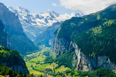
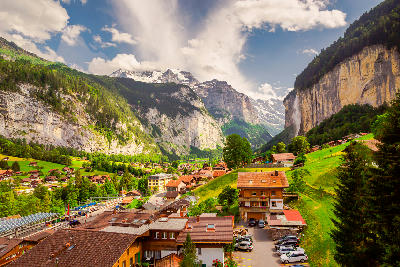
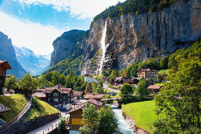
Summer reveals green valley floor with active waterfalls descending from the cliffs. Winter introduces snow cover that simplifies the valley surface and reduces visible water flow.
Crowds
Often Busy
Restrictions
Access is via public roads, walking paths, and open areas across the valley floor.