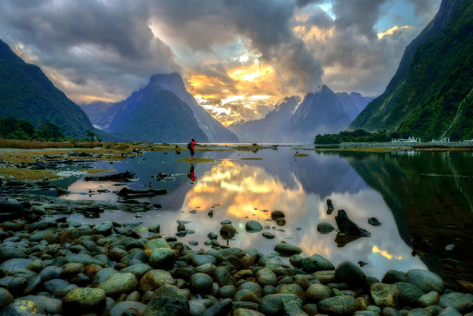
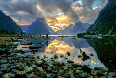
Calm tidal waters in Milford Sound reflect surrounding steep fjord walls and Mitre Peak, with broken cloud catching late light above the valley floor.
The South Island is the larger of New Zealand’s two main islands and is defined by extensive alpine terrain, glacial valleys, and diverse coastal landscapes. The island is dominated by the Southern Alps mountain range, which runs along much of its length and shapes the surrounding river systems and valleys. Mountain peaks, glacial lakes, and rugged coastlines form the dominant landscape features across the island. The terrain transitions between high alpine mountains, glacier-carved valleys, coastal plains, and rolling inland basins. Elevation rises sharply toward the central alpine range, while lower terrain spreads outward across agricultural valleys and river plains. Seasonal variation influences snow cover, vegetation patterns, and atmospheric clarity, contributing to changing surface texture and tonal contrast throughout the year.
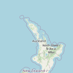
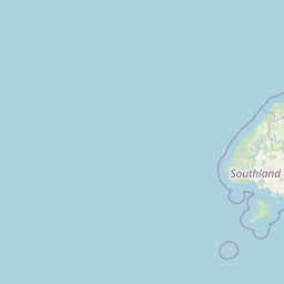
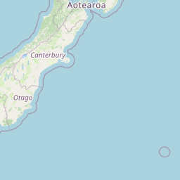
Structured Map of South Island
A connected view of the landscape, organised by regions, areas, and key locations.





Fiordland
area district
Doubtful Sound / Patea
water feature
Milford Sound
area district
Mitre Peak
landmark
Homer Tunnel Valley
landmark
Lake Marian
water feature
Key Summit
landmark
Diamond Lake
water feature
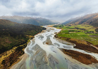
Dart River Braided River
water feature
Glenorchy Lagoon
water feature
Glenorchy
town city
Glenorchy Willow Trees
water feature
Moke Lake
water feature
Queenstown
town city
Arrowtown
town city
Queenstown & Wānaka
area district
Roys Peak
landmark
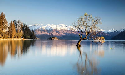
That Wānaka Tree
landmark
Wānaka
town city
Lake Hāwea
water feature
Lake Pukaki
water feature
Lake Tekapo
water feature
Church Of The Good Shepherd
landmark
Mount Cook
area district
Sealy Tarns
landmark
Hooker Lake
water feature
Tasman Lake
water feature
Aoraki / Mount Cook
landmark
Fox Glacier
landmark
Franz Josef Glacier
glacier
Lake Matheson
water feature
West Coast Glaciers
area district
Okarito Lagoon
water feature
Hakatere Conservation Reserve
park reserve
Anchorage Bay
beach
Christchurch
town city
Punakaiki
town city
Paparoa National Park
park reserve
Nelson Lakes National Park
park reserve
Lake Rotoiti
water feature
Nelson
town city
Split Apple Rock
landmark
Te Pukatea Bay
beach
Torrent Bay Lagoon
water feature
Abel Tasman
area district
Awaroa Inlet
water feature
Tōtaranui Beach
beach
Wharariki Beach
landmark
Archway Islands
landmark
Areas in South Island
Cities & Towns in South Island
Gallery
Overview
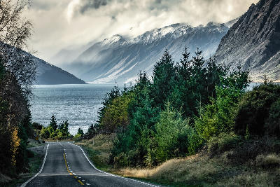
The South Island’s geography is structured around the Southern Alps, formed through tectonic uplift along the Alpine Fault. This mountain range creates a dramatic divide between the wetter western coast and the drier eastern plains. Glacial activity shaped much of the island’s terrain, carving deep valleys, forming large lakes, and leaving extensive moraine and river systems. Numerous braided rivers flow from alpine regions toward the surrounding plains and coastlines. The visual structure of the island is defined by the contrast between high alpine landscapes, expansive valleys, and surrounding ocean horizons, producing layered compositions across mountains, lakes, and coastal terrain.
Key photography subjects
- Alpine mountain ranges and glaciated peaks
- Glacier-fed lakes and valley basins
- Braided river systems across wide plains
- Rugged coastlines and coastal cliffs
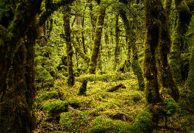
- Forested mountain slopes and alpine terrain
- Agricultural valleys and open plains
- Seasonal snow, cloud, and alpine light conditions
Workshops in South Island
No upcoming workshops scheduled for South Island at this time.
Check back soon or explore other destinations.