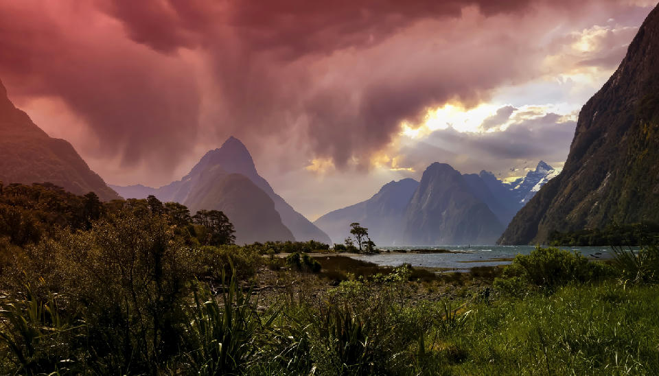
Sunbeams break through a tempestuous storm sky above Milford Sound, casting dramatic light across Mitre Peak and the surrounding fiord walls, with dark cloud curtains, glowing highlights, and lush foreground vegetation amplifying the scale and mood of Fiordland’s alpine landscape.
Fiordland is a mountainous region in the south-west of New Zealand’s South Island defined by steep fjords, glaciated valleys, and dense temperate rainforest. The landscape is shaped by alpine tectonics and extensive glacial erosion, which carved deep inlets extending inland from the Tasman Sea. High mountain ranges rise directly from the water, creating one of the most dramatic fjord systems in the Southern Hemisphere. The terrain transitions between narrow fjords, towering rock faces, alpine peaks, and heavily forested slopes. Elevation rises abruptly from sea level toward the interior mountain ranges, while glacial valleys and freshwater lakes occupy lower basins. Seasonal variation influences rainfall patterns, vegetation density, and atmospheric clarity, contributing to changes in surface texture and visibility throughout the year.
Key POIs in Fiordland
Explore Areas in Fiordland


Areas in Fiordland
Nearby Places
View all on mapMoke Lake
water feature — 80.6 km
South Island
Glenorchy Willow Trees
water feature — 81.7 km
South Island
Glenorchy
town city — 82.0 km
South Island
Glenorchy Lagoon
water feature — 83.1 km
South Island
Queenstown
town city — 85.4 km
South Island
Dart River Braided River
water feature — 87.2 km
South Island
Diamond Lake
water feature — 91.3 km
South Island
Arrowtown
town city — 102.3 km
South Island
Gallery
Overview
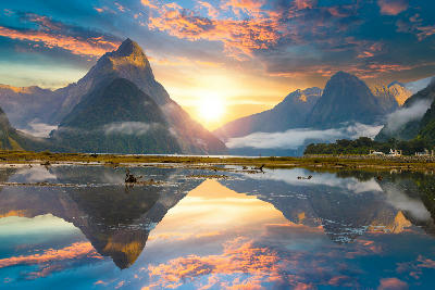
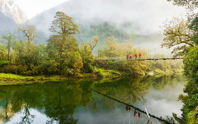
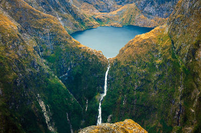
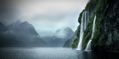
Fiordland forms the most rugged section of the Southern Alps landscape system. Glacial processes carved a series of deep fjords separated by steep mountain ridges, leaving dramatic valley walls and long water-filled basins. Many fjords extend far inland from the coast, creating narrow corridors of water framed by vertical cliffs and forested slopes. Numerous waterfalls descend from high mountain walls into the fjords, particularly after periods of rainfall. The visual structure of the region is defined by the interaction between towering mountains, deep water channels, and dense rainforest covering the valley sides, producing layered compositions across rock, vegetation, and water.
Key photography subjects
- Steep fjords surrounded by towering mountain walls
- Waterfalls descending from high cliff faces
- Forested slopes and temperate rainforest valleys
- Glacial lakes within alpine basins
- Rocky peaks rising above fjord landscapes
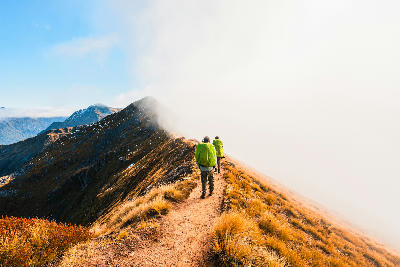
- Mist and cloud moving through mountain corridors
- Seasonal light, rainfall, and atmospheric variation
Workshops in Fiordland
No upcoming workshops scheduled for Fiordland at this time.
Check back soon or explore other destinations.