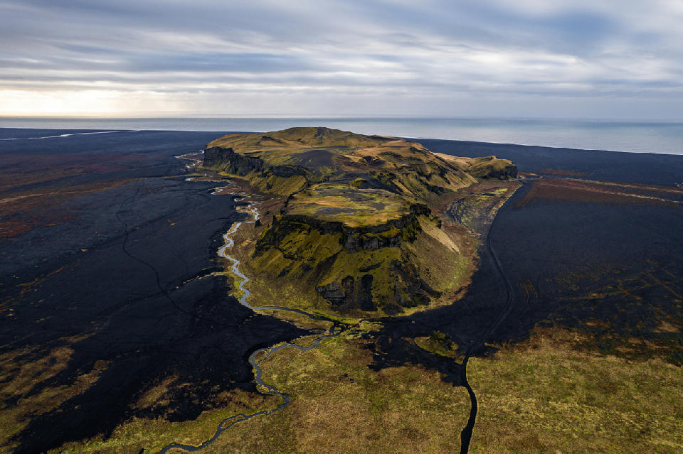
Aerial view of Hjörleifshöfði near Vík í Mýrdal, South Iceland — a moss-covered headland rising dramatically from the surrounding black sand plains of Mýrdalssandur.
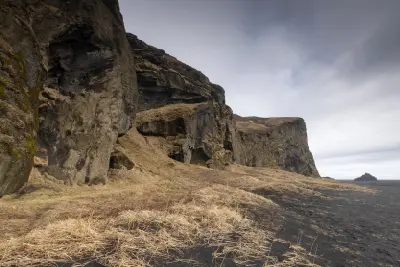
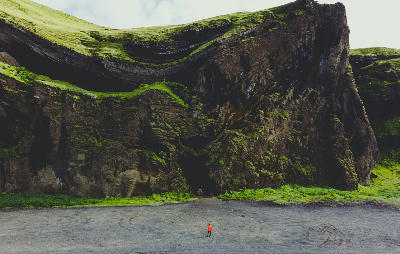
Hjörleifshöfði is an isolated promontory rising from the black sand plains of Iceland's South Coast. The headland forms a steep-sided mass of volcanic rock surrounded by wide glacial outwash terrain. Its detached profile creates a strong focal composition defined by scale contrast and open horizon.
63.41760, -18.74600
Gallery
Quick Facts
Access
4×4 Required
15–45 min
Elevation Gain
221 m
Best Light
Light works best when low-angle sun grazes across the headland because angled illumination enhances surface relief and separates the rock mass from the flat surrounding plain.
Why This Light
Season
Year-Round Stable
In summer, exposed grass slopes contrast with the surrounding black sand plains. In winter, snow accumulation simplifies surface detail while preserving the headland's isolated form.
Crowds
Usually Quiet
Restrictions
Access across sand plains may be affected by weather and road conditions.