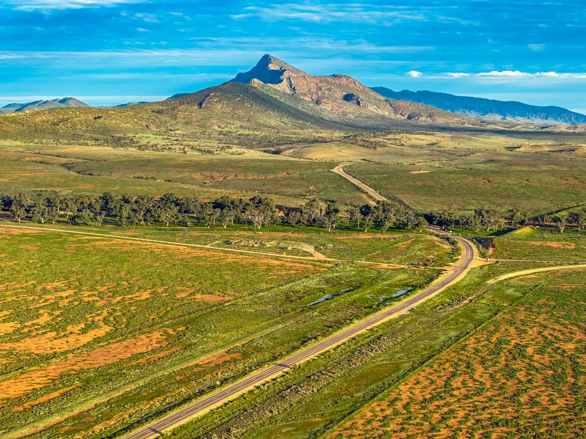
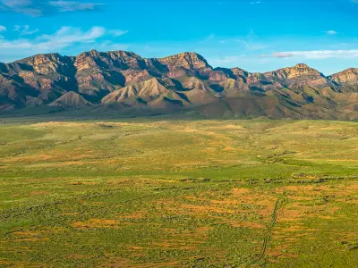
An aerial view across the green plains of the Flinders Ranges towards Mount Aleck, with roads crossing the landscape and a ribbon of trees marking Moralana Creek after winter rainfall.
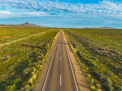
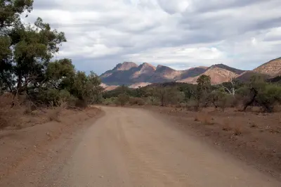
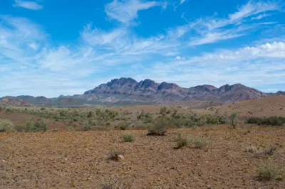
Moralana Scenic Drive is an unsealed scenic route through the southern Flinders Ranges, South Australia, passing between the Elder Range and the western slopes of Wilpena Pound. The road crosses open pastoral country, dry creek beds and gently undulating terrain, with rugged mountain ridges rising on either side. The winding outback road, layered escarpments and expansive valley landscapes provide opportunities for landscape, geological and panoramic photography.
-31.71805, 138.52922
Gallery
Quick Facts
Access
Roadside / Step-out
0–5 min
Elevation Gain
0 m
Best Light
Low-angle sunlight defines the mountain ridges and folded escarpments, casting long shadows across the valley and revealing the terrain's layered structure.
Why This Light
Season
Seasonally Distinct
Summer brings dry golden grasses, muted vegetation and warm red-brown mountain tones, with occasional thunderstorms forming above the ranges. Winter brings greener ground cover, clearer atmospheric conditions and stronger colour contrasts between the valley floor and surrounding escarpments.
Crowds
Usually Quiet
Restrictions
Moralana Scenic Drive is an approximately 28 km unsealed route connecting the Hawker–Wilpena Road with the Outback Highway near Parachilna. The road passes through pastoral land and is generally suitable for conventional vehicles in good, dry conditions, although corrugations, loose gravel and creek crossings may require additional clearance. Heavy rainfall can cause temporary closures or make sections impassable. Visitors should remain on public roads, respect private property and check local road conditions before travelling.