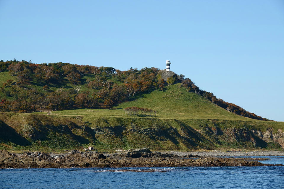
Shiretoko Lighthouse on the grassy headland of Cape Shiretoko above the Okhotsk Sea.
Cape Shiretoko is a coastal headland forming the northeastern extent of the Shiretoko Peninsula, defined by steep cliffs extending into the surrounding sea. The land narrows toward the tip, creating a clear transition between terrestrial and marine environments. The composition resolves through the projection of the coastline into open water and separation between landmass and sea.
44.34509, 145.32978
Gallery
Quick Facts
Access
Moderate Hike
90–180 min
Elevation Gain
150 m
Best Light
Low-angle light defines the cliff edges and coastline, casting shadows that separate landforms from the surrounding sea.
Why This Light
Season
Access Limited (Summer)
Access is generally limited to specific seasons due to weather and wildlife conditions, with clearer coastal visibility in stable summer conditions. Outside this period, access may be restricted or not possible.
Crowds
Usually Quiet
Restrictions
Access is typically restricted and may require guided tours or permits due to wildlife protection and remote conditions; independent access is limited.