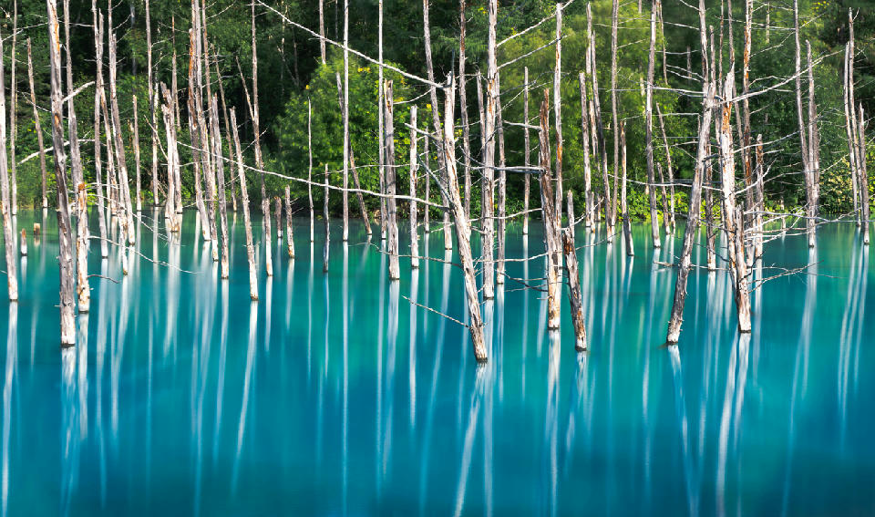
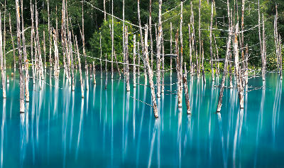
Dead trees rising from turquoise water at Blue Pond in Biei, Hokkaido
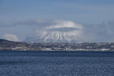
Hokkaido is the northernmost island of Japan defined by volcanic mountain ranges, expansive plains, forested landscapes, and a cooler climate relative to the rest of the country. The island’s geography is shaped by tectonic and volcanic activity, producing a landscape of peaks, calderas, and broad basins. Large areas remain less densely populated, with natural terrain dominating much of the island. The terrain transitions between mountain systems, rolling plains, wetlands, and coastal zones along the surrounding seas. Elevation rises toward central and eastern volcanic ranges, while lower terrain extends across agricultural basins and river valleys. Seasonal variation strongly influences snow cover, vegetation patterns, and atmospheric clarity, contributing to pronounced changes in surface texture and light conditions throughout the year.
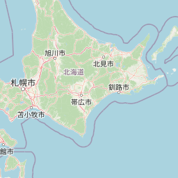
Structured Map of Hokkaido
A connected view of the landscape, organised by regions, areas, and key locations.




Jigokudani (Noboribetsu Hell Valley)
landmark
Oyunuma Pond
water feature
Lake Tōya & Noboribetsu
area district
Mount Usu
landmark
Lake Toya
water feature
Cape Kamui
landmark
Shakotan Peninsula
area district
Otaru Canal
water feature
Otaru & Sapporo
area district
Odori Park
landmark
Farm Tomita
landmark
Shirahige Waterfall
water feature
Blue Pond
water feature
Biei & Furano
area district
Shikisai no Oka
landmark
Patchwork Road
landmark
Ken & Mary Tree
landmark
Seven Stars Tree
landmark
Sugatami Pond
water feature
Mount Asahidake
landmark
Mount Kurodake
landmark
Daisetsuzan National Park
area district
Ginga Falls (Sounkyo)
water feature
Ryusei Falls (Sounkyo)
water feature
Sounkyo Gorge
landmark
Kushiro Marsh Observatory
landmark
Hosooka Observatory
landmark
Kushiro Wetlands
area district
Tsurui-Ito Tancho Sanctuary
landmark
Oronko Rock
landmark
Furepe Waterfall
water feature
Shiretoko Five Lakes
water feature
Shiretoko National Park
area district
Kamuiwakka Falls
water feature
Cape Shiretoko
landmark
Areas in Hokkaido
Gallery
Overview
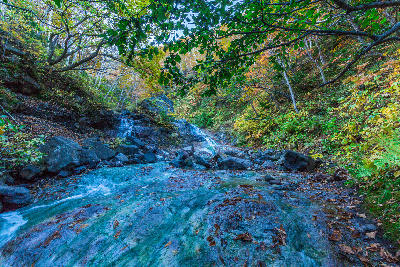
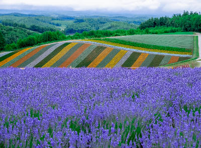
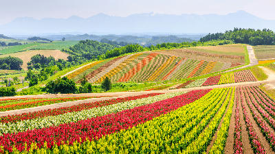
Hokkaido’s geography is structured around a series of volcanic mountain ranges and caldera systems distributed across the island. These features create elevated terrain that feeds river systems and shapes surrounding plains and basins. Large lowland areas support agricultural landscapes, while forested regions and wetlands occupy transitional zones between mountains and coastal areas. River systems flow outward from central highlands toward surrounding seas. The visual structure of the island is defined by the contrast between volcanic peaks, expansive plains, and surrounding coastal environments, producing layered compositions across mountains, forests, and open landscapes.
Key photography subjects
- Volcanic mountain ranges and alpine terrain
- Expansive plains and agricultural landscapes
- Forested regions and natural wilderness
- Wetlands and river systems
- Coastal shorelines and open sea views
- Caldera lakes and volcanic features
- Seasonal snow, autumn colour, and atmospheric light
Workshops in Hokkaido
No upcoming workshops scheduled for Hokkaido at this time.
Check back soon or explore other destinations.