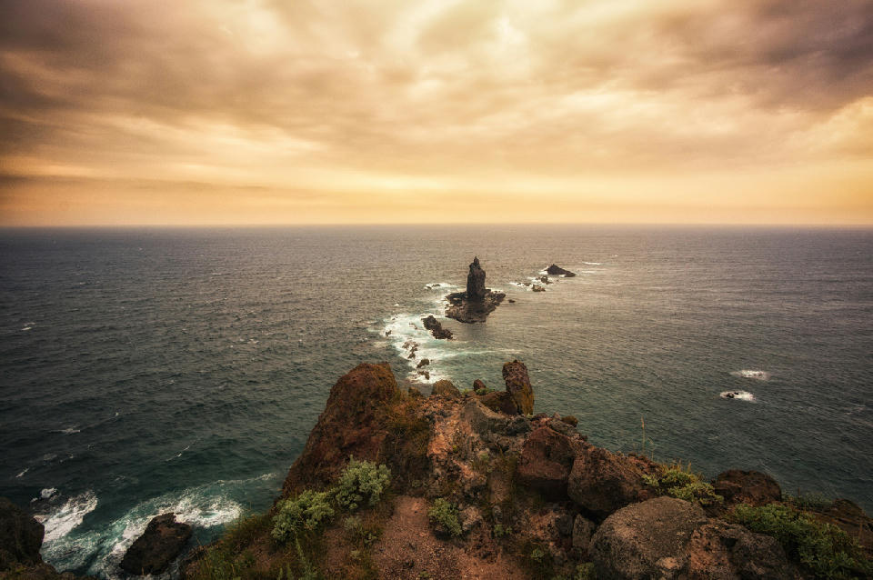
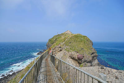
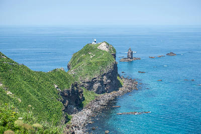
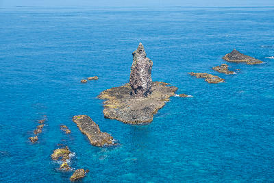
View along the Cape Kamui coastline toward a prominent sea stack, with waves breaking along the narrow ridge extending into the Sea of Japan.
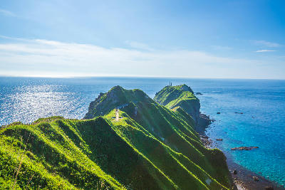
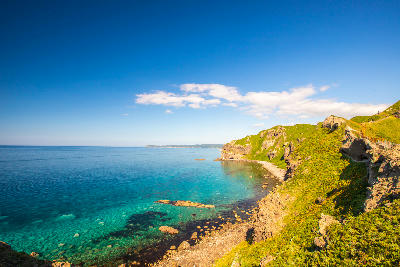
Cape Kamui is a coastal headland on the Shakotan Peninsula, defined by a narrow ridge extending into the sea with steep cliffs on both sides. A walking path follows the ridge toward the tip, creating a clear linear approach over open water. The composition resolves through the alignment of the ridge and its separation from the surrounding sea.
43.33357, 140.34669
Gallery
Quick Facts
Access
Short Walk
15–45 min
Elevation Gain
60 m
Best Light
Low-angle light defines the ridge and cliff edges, casting shadows that separate the landform from the surrounding sea.
Why This Light
Season
Seasonally Distinct
Clear conditions provide strong visibility of the coastline and surrounding sea. Weather and wind can restrict access along the ridge and affect visibility toward the horizon.
Crowds
Often Busy
Restrictions
Access along the ridge path may be restricted during strong winds or unsafe weather conditions.