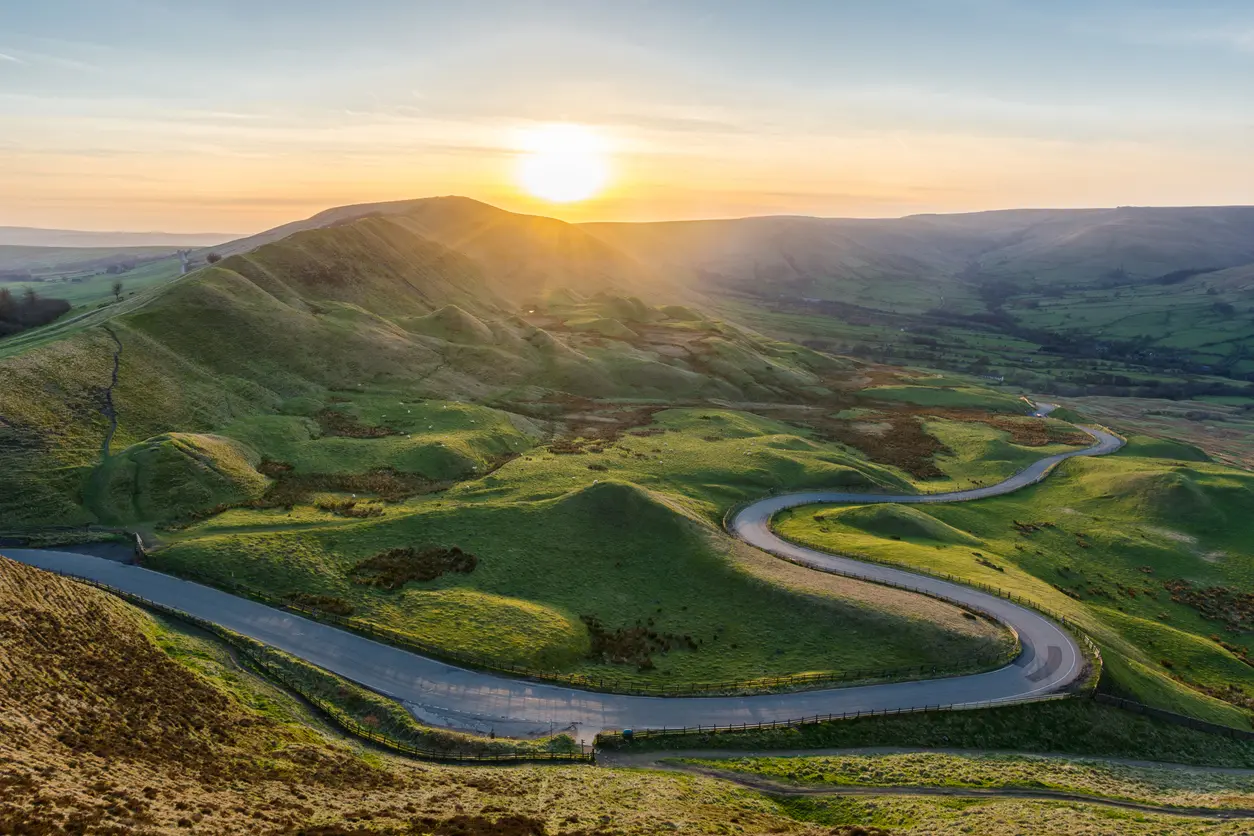
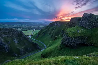
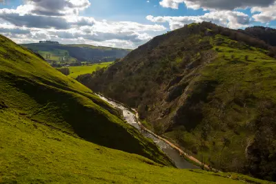
Golden evening sunlight illuminates the winding road beneath Mam Tor, with sweeping green hills and valleys in the Peak District National Park, Derbyshire, England.
The Hope Valley & White Peak form a varied upland landscape in the Peak District of central England, defined by limestone hills, steep-sided valleys and exposed mountain ridges. The area includes Mam Tor, Winnats Pass, Chrome Hill and Dovedale, where distinctive geological formations rise above rolling pastures, wooded river corridors and traditional stone-built villages. The terrain transitions between broad limestone plateaus, narrow rocky gorges, steep escarpments and sheltered agricultural valleys. Rivers have carved deep channels through the limestone, while exposed ridgelines and isolated hills create prominent landforms above the surrounding countryside. Seasonal variation influences pasture colour, woodland vegetation and atmospheric clarity, creating changes in valley textures, hillside contrast and visibility across the surrounding uplands.
Gallery
Key POIs in Peak District: Hope Valley & White Peak
Nearby Places
View all on mapPadley Gorge
landmark — 14.2 km
Central England
Higger Tor
landmark — 15.5 km
Central England
Bamford Edge
landmark — 16.5 km
Central England
Stanage Edge
landmark — 17.1 km
Central England
Peak District: Dark Peak
area district — 17.9 km
Central England
Ladybower Reservoir
landmark — 18.3 km
Central England
Kinder Scout
landmark — 20.1 km
Central England
Janet's Foss
water feature — 97.4 km
Northern England
Overview
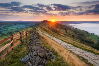
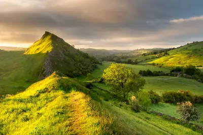
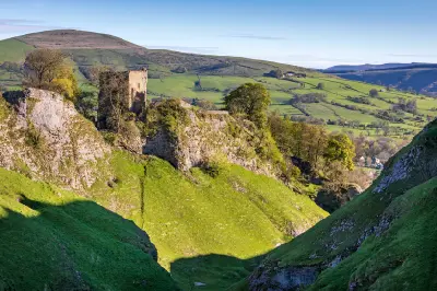
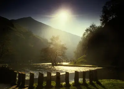
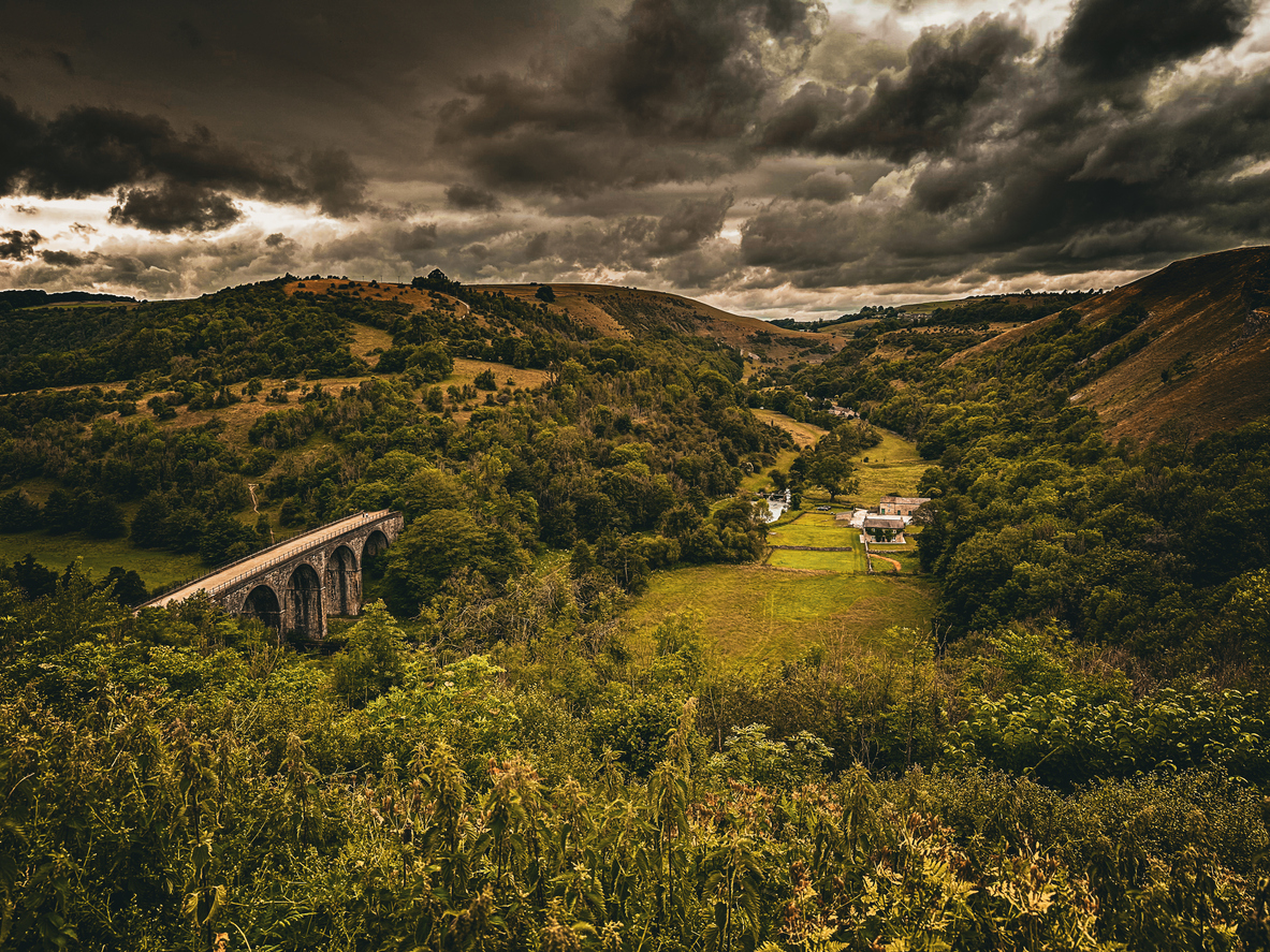
The Hope Valley & White Peak are structured around the geological transition between the gritstone uplands of the Dark Peak and the limestone landscapes of the southern Peak District. Mam Tor overlooks the broad Hope Valley, while nearby Winnats Pass cuts through steep limestone hills to form a narrow natural corridor. Across the area, Chrome Hill rises as a distinctive limestone ridge above surrounding pastures, while Cave Dale reveals a deeply enclosed valley beneath the ruins of Peveril Castle. Farther south, Dovedale and Monsal Dale follow river systems through limestone valleys, where wooded slopes, rocky cliffs and traditional stone bridges create contrasting landscapes. The visual structure of the area is defined by the relationship between exposed geological formations and enclosed pastoral valleys. Elevated viewpoints reveal layered hills, winding roads and agricultural field patterns, while mist, seasonal vegetation and low-angle sunlight emphasise the relief of ridgelines and limestone escarpments.
Key photography subjects
- Mam Tor's sweeping ridgeline and Hope Valley panoramas
- Winnats Pass and steep limestone gorge formations
- Chrome Hill and distinctive limestone ridge landscapes
- Cave Dale, rocky slopes and historic castle ruins
- Dovedale, wooded river valleys and limestone cliffs
- Monsal Dale, stone viaduct and pastoral valley scenery
- Morning mist, seasonal colour and atmospheric upland light
Workshops in Peak District: Hope Valley & White Peak
No upcoming workshops scheduled for Peak District: Hope Valley & White Peak at this time.
Check back soon or explore other destinations.