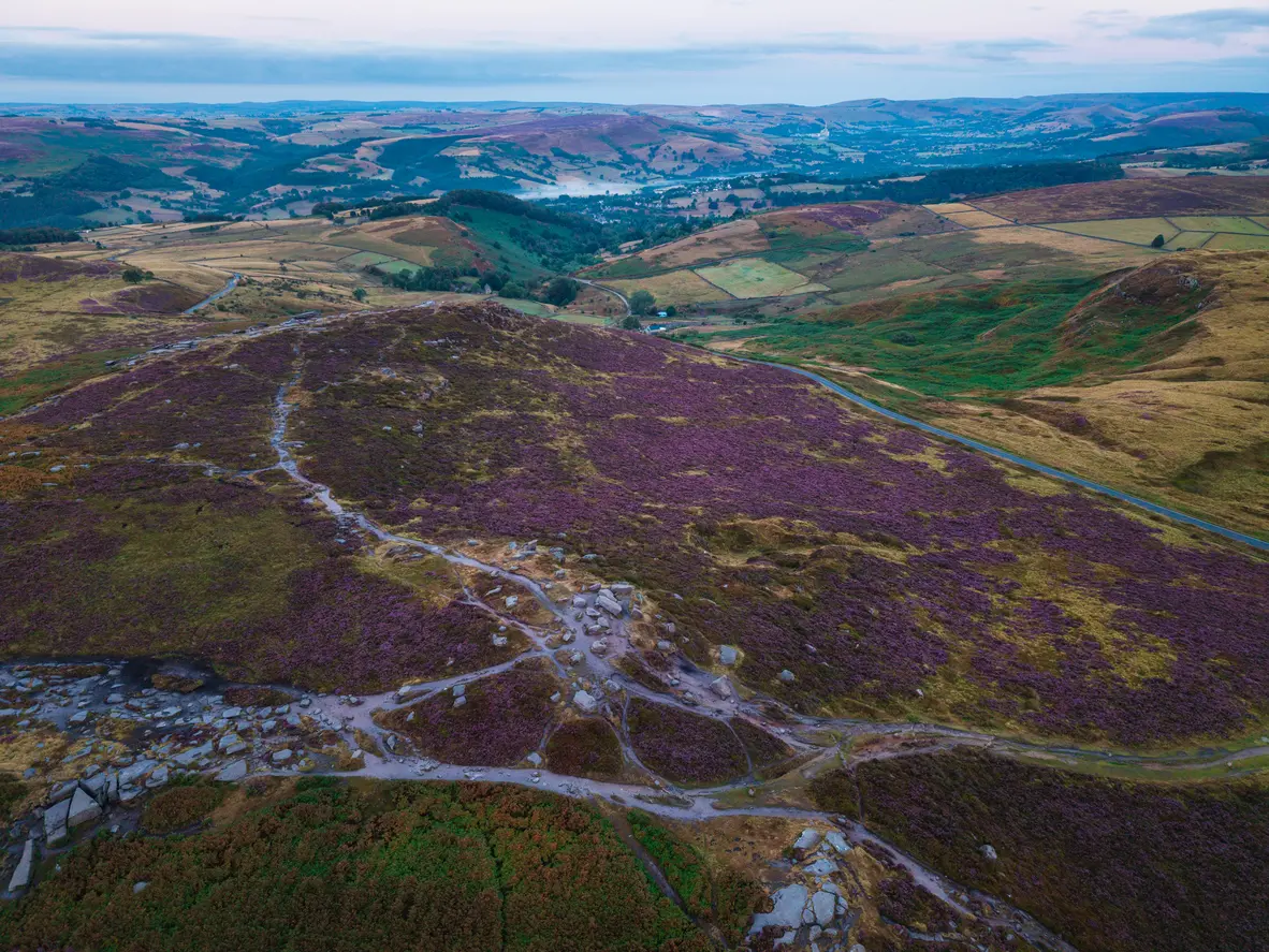
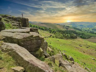
Purple summer heather carpets the moorland around Higger Tor, with rocky walking trails and sweeping views across the valleys of the Dark Peak, Peak District National Park, England.
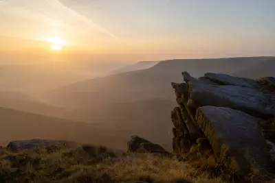
The Dark Peak forms the northern and eastern uplands of England's Peak District, defined by extensive peat moorlands, exposed gritstone escarpments and deeply incised valleys. The area includes Kinder Scout, Stanage Edge, Bamford Edge and Higger Tor, where weathered rock formations rise above broad upland plateaus, reservoirs and wooded valleys. The terrain transitions between open moorland, steep gritstone edges, rocky outcrops and sheltered river corridors. Resistant sandstone formations create prominent cliffs and tors, while streams descend through narrow valleys towards reservoirs and lower agricultural landscapes. Seasonal variation influences heather colour, moorland vegetation and atmospheric conditions, creating changes in upland textures, valley visibility and the appearance of exposed rock surfaces throughout the year.
Gallery
Key POIs in Peak District: Dark Peak
Nearby Places
View all on mapMam Tor
landmark — 3.9 km
Central England
Winnats Pass
landmark — 4.5 km
Central England
Cave Dale
landmark — 4.6 km
Central England
Monsal Dale & Monsal Head
landmark — 15.9 km
Central England
Peak District: Hope Valley & White Peak
area district — 17.9 km
Central England
Chrome Hill
landmark — 21.1 km
Central England
Dovedale
landmark — 36.0 km
Central England
Janet's Foss
water feature — 79.8 km
Northern England
Overview
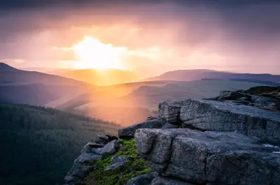
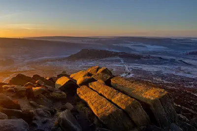
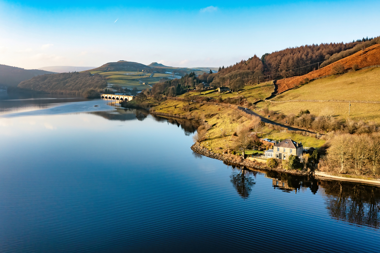
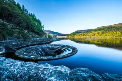
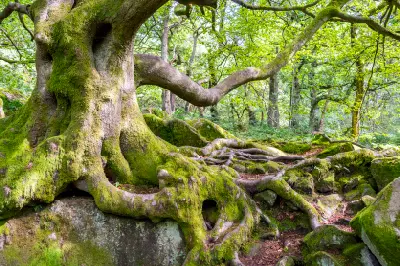
The Dark Peak is structured around a series of elevated gritstone plateaus and escarpments extending across the northern Peak District. Kinder Scout forms a broad upland massif characterised by peat moorland, weathered rock formations and deeply eroded channels, while Stanage Edge and Bamford Edge create prominent rocky boundaries above surrounding valleys. Across the area, Higger Tor rises above Hathersage Moor as a distinctive gritstone outcrop, while Ladybower Reservoir occupies a broad valley enclosed by wooded slopes and surrounding hills. Padley Gorge follows a sheltered stream corridor through mature woodland, introducing moss-covered boulders, flowing water and enclosed forest scenery. The visual structure of the area is defined by the contrast between exposed upland horizons and sheltered valley landscapes. Rocky escarpments provide elevated viewpoints across moorland and reservoirs, while seasonal heather, drifting mist and changing directional light emphasise the textures of weathered gritstone and open peat terrain.
Key photography subjects
- Stanage Edge and extensive gritstone escarpments
- Bamford Edge and elevated views across Ladybower Reservoir
- Kinder Scout's peat moorlands and weathered rock formations
- Higger Tor, rocky outcrops and heather-covered uplands
- Ladybower Reservoir, wooded slopes and water reflections
- Padley Gorge, woodland streams and moss-covered boulders
- Seasonal heather colour, valley mist and atmospheric upland light
Workshops in Peak District: Dark Peak
No upcoming workshops scheduled for Peak District: Dark Peak at this time.
Check back soon or explore other destinations.