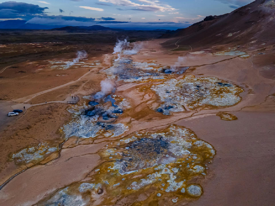
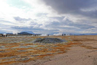
Aerial view of the steaming mud pools and fumaroles at Hverir (Námaskarð) Geothermal Area near Lake Mývatn, North Iceland.
Hverir Geothermal Area is an active volcanic field located near Lake Mývatn in North Iceland. The terrain is defined by steaming fumaroles, boiling mud pools, and mineral-stained earth. Its exposed surface creates a composition structured by colour contrast, rising steam, and uneven ground texture.
65.64070, -16.80960
Gallery
Quick Facts
Access
Roadside / Step-out
0–5 min
Elevation Gain
100 m
Best Light
Light works best when low-angle sun backlights rising steam because angled illumination increases separation between vapour plumes and the surrounding terrain.
Why This Light
Season
Year-Round Stable
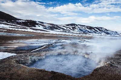
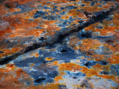
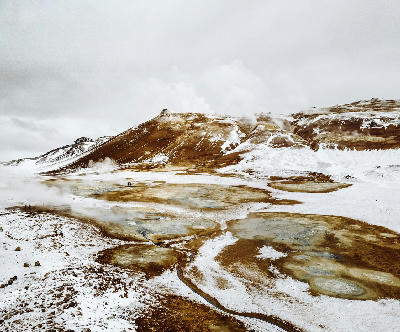
In summer, exposed mineral deposits intensify colour variation across the field. In winter, snow patches contrast sharply with geothermal vents while steam activity remains constant.
Crowds
Busy Midday
Restrictions
Designated walking paths must be followed due to unstable geothermal ground.