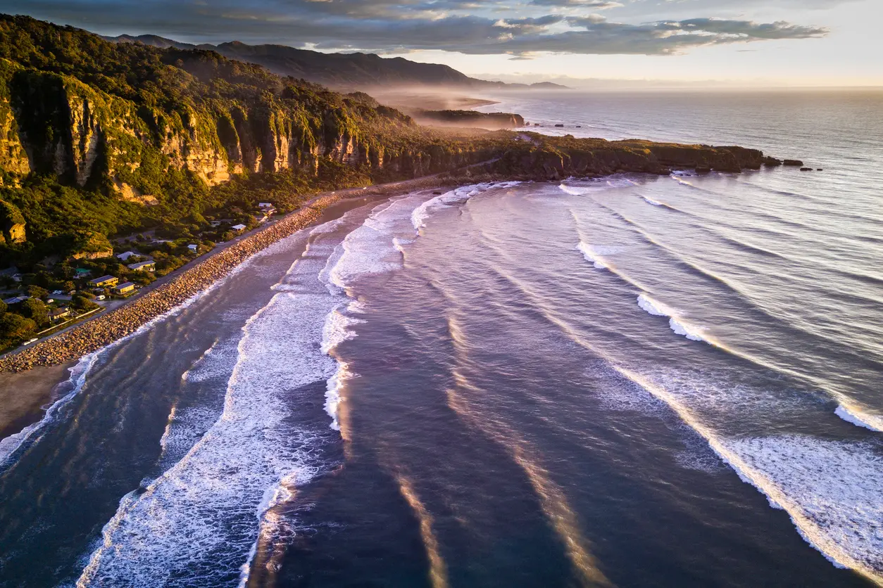
Aerial view of the Punakaiki coastline at sunset, with parallel surf lines rolling in from the Tasman Sea beneath forested limestone cliffs on New Zealand’s West Coast.
Punakaiki is a small coastal settlement on New Zealand’s West Coast, defined by limestone cliffs, Tasman Sea exposure, and dense rainforest meeting the shoreline. Its photographic identity is shaped by dramatic coastal geology and rapidly changing weather rather than urban structure. The area functions primarily as an access point to nearby natural features.
Gallery
Overview
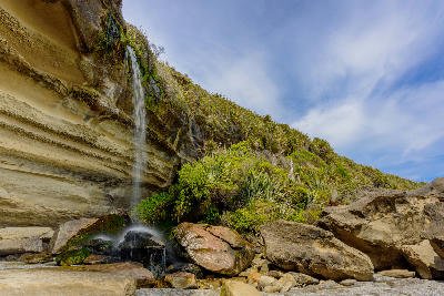
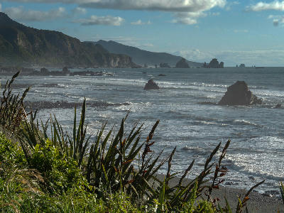
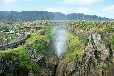
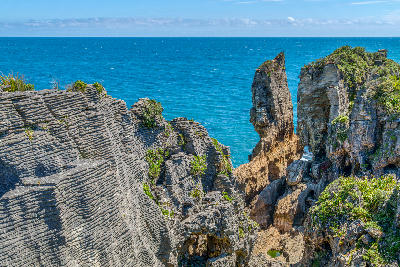
Punakaiki sits on a narrow strip between the Tasman Sea and steep, forested hills, creating a compressed landscape where ocean, rock, and vegetation intersect at close range. The coastline is rugged and irregular, with wave-cut platforms, sea stacks, and blowholes dominating visual compositions. Light conditions change quickly due to frequent cloud movement and frontal weather systems.
Inland, temperate rainforest rises sharply from the coast, adding vertical depth and tonal contrast to scenes dominated by limestone and surf. The settlement itself remains visually minimal, allowing the surrounding landforms and coastal processes to define the photographic character of the area.
Key Photography Subjects
- Limestone coastal formations and wave-cut platforms
- Tasman Sea surf, blowholes, and storm-driven wave action
- Forested hills and rainforest edge meeting the coast
- Atmospheric weather shifts, low cloud, and sea mist
- Sunset and backlit coastal scenes along the western shoreline
Workshops in Punakaiki
No upcoming workshops found in this area.
Browse all workshops →