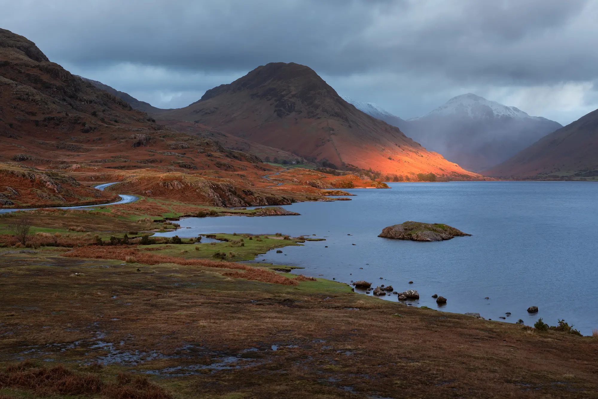
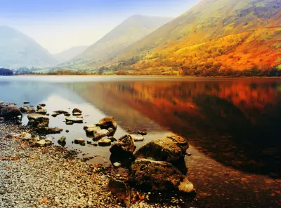
A shaft of evening sunlight illuminates Yewbarrow Fell above Wastwater, beneath dramatic storm clouds in the western Lake District.
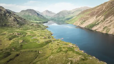
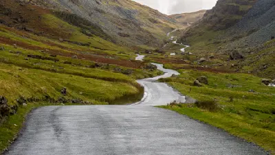
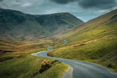
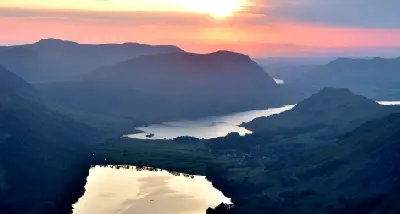
The Western Lake District forms a rugged mountain and lake landscape in Cumbria, north-west England, defined by steep glacial valleys, deep lakes and some of the country's highest peaks. The area includes Wasdale, Buttermere, Crummock Water and Honister Pass, where dramatic mountain ridges rise above enclosed valleys and traditional stone-built settlements. The terrain transitions between narrow mountain passes, rocky fells, scree-covered slopes and long glacial lake basins. Steep valley walls descend towards open water, while streams and mountain roads follow the natural corridors between surrounding ridgelines. Seasonal variation influences vegetation, water levels and atmospheric conditions, creating changes in mountain colour, lake reflections and visibility across the western fells.
Gallery
Key POIs in Lake District — Western Lakes & Fells
Nearby Places
View all on mapCatbells
landmark — 9.2 km
Northern England
Surprise View
landmark — 10.1 km
Northern England
Ashness Bridge
landmark — 10.8 km
Northern England
Derwentwater
landmark — 11.0 km
Northern England
Castlerigg Stone Circle
landmark — 15.0 km
Northern England
Lake District — Central & Eastern Lakes
area district — 19.4 km
Northern England
Aira Force
water feature — 22.3 km
Northern England
Ullswater
water feature — 24.5 km
Northern England
Overview
The Western Lake District is structured around a series of deeply eroded glacial valleys separated by rugged mountain ridges. Wasdale lies beneath the Scafell massif, while Buttermere and Crummock Water occupy neighbouring lake basins enclosed by steep fells and wooded lower slopes. Across the area, mountain passes connect otherwise isolated valleys, with Honister Pass cutting through steep upland terrain between Borrowdale and Buttermere. Wastwater is bordered by the imposing Wastwater Screes, while the surrounding peaks create strong contrasts between exposed rock, grassy slopes and dark lake surfaces. The visual structure of the area is defined by the relationship between steep mountain relief and enclosed bodies of water. Elevated viewpoints reveal successive ridgelines and glacial valleys, while reflections, drifting mist and rapidly changing cloud conditions introduce atmospheric variation throughout the landscape.
Key photography subjects
- Wastwater and the dramatic Wastwater Screes
- Buttermere and Crummock Water mountain reflections
- Blea Tarn and enclosed mountain landscapes
- Honister Pass and steep upland road corridors
- Rugged fells, rocky ridgelines and glacial valleys
- Wooded lakeshores, stone walls and traditional Lakeland scenery
- Valley mist, storm light and atmospheric mountain landscapes
Workshops in Lake District — Western Lakes & Fells
No upcoming workshops scheduled for Lake District — Western Lakes & Fells at this time.
Check back soon or explore other destinations.