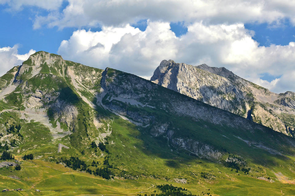
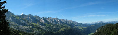
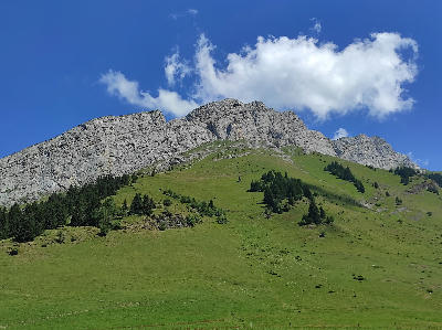
L’Étale massif in the Aravis range above La Clusaz, Haute-Savoie
The Aravis Mountain Range is a limestone ridge system defined by a continuous line of jagged peaks and steep faces. The range forms a distinct boundary above surrounding valleys, with sharp rock formations and minimal vegetation at higher elevations. The composition resolves through the alignment of peaks along the ridge and their separation from the surrounding landscape.
45.93102, 6.51501
Gallery
Quick Facts
Access
Roadside / Step-out
0–5 min
Elevation Gain
5 m
Best Light
Low-angle light defines the jagged ridge and rock texture, casting shadows that separate individual peaks and enhance depth.
Why This Light
Season
Seasonally Distinct
Summer reveals exposed limestone ridges with clear structure across the range. Winter introduces snow cover that simplifies surfaces and increases contrast along the peaks.
Crowds
Usually Quiet
Restrictions
Views are available from multiple roads and valleys surrounding the range; access varies by viewpoint.