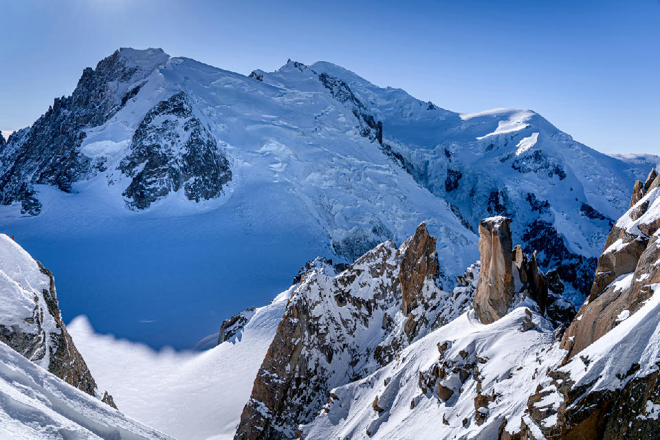
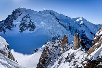
Mont Blanc summit and surrounding glacial slopes rising above the Chamonix valley, with granite spires in the foreground.
The French Alps is a mountainous region in southeastern France defined by high alpine peaks, glacial valleys, and extensive mountain terrain. The range forms part of the greater Alpine system, where tectonic uplift and glacial processes have shaped steep ridgelines, deep valleys, and prominent mountain massifs. Elevation varies significantly across the region, with some of the highest peaks in Western Europe located within its boundaries. The terrain transitions between alpine summits, glacier-fed valleys, forested slopes, and high-altitude basins. Elevation rises sharply across the landscape, while valleys provide corridors for rivers and settlements within the mountain system. Seasonal variation influences snow cover, vegetation patterns, and atmospheric clarity, contributing to changes in surface texture and tonal contrast throughout the year.
Structured Map of French Alps
A connected view of the landscape, organised by regions, areas, and key locations.

Col de la Forclaz
landmark
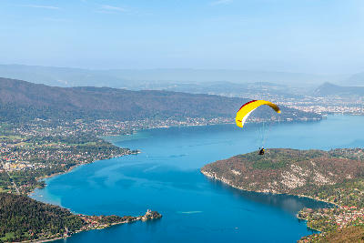
Lake Annecy
water feature
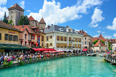
Annecy
landmark
Mont Veyrier
landmark
Lake Annecy & Aravis Range
area district
Aravis Mountain Range
landmark
Lac Blanc
water feature
Chamonix Valley
landmark
Mer de Glace
glacier
Chamonix & Mont Blanc
area district
Vallée Blanche
glacier
Aiguille du Midi
landmark
Mont Blanc Massif
landmark
Glacier de la Grande Casse
glacier
Vanoise National Park
area district
Lac des Vaches
water feature
La Grave
landmark
La Meije
landmark
Écrins National Park
area district
Glacier Blanc
glacier
Barre des Écrins
landmark
Vallouise Valley
landmark
Lac d'Allos
water feature
Mercantour National Park
area district
Mercantour Alpine Lakes System
water feature
Vallée des Merveilles
landmark
Areas in French Alps
Gallery
Overview
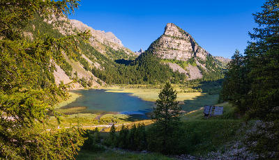
The French Alps are structured around a network of mountain ranges formed through tectonic uplift and shaped by glacial erosion. These processes created U-shaped valleys, cirques, and extensive alpine basins across the region. Glaciers and snowfields occupy higher elevations, feeding rivers that flow through valley systems toward surrounding lowlands. Lower slopes transition into forested terrain and alpine meadows, while higher elevations remain dominated by rock and ice. The visual structure of the region is defined by the contrast between high alpine peaks, glacial features, and surrounding valleys, producing layered compositions across mountains, slopes, and open alpine terrain.
Key photography subjects
- High alpine peaks and mountain massifs
- Glacial valleys and U-shaped basins
- Snowfields and ice-covered terrain
- Alpine meadows and forested slopes
- Rocky ridgelines and exposed mountain faces
- River systems flowing through mountain corridors
- Seasonal snow, cloud formations, and alpine light
Workshops in French Alps
No upcoming workshops scheduled for French Alps at this time.
Check back soon or explore other destinations.