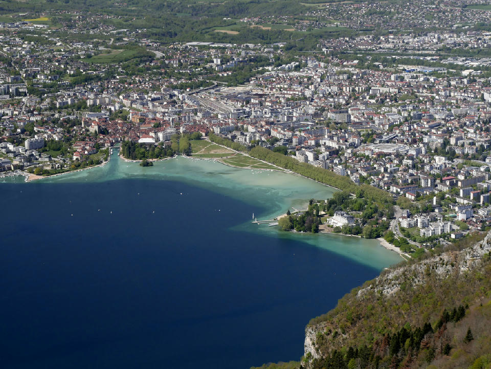
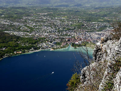
View over Annecy old town and the northern end of Lake Annecy from Mont Veyrier, with the Thiou outflow and shoreline clearly defined
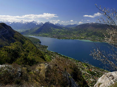
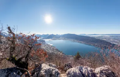
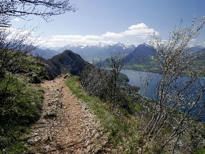
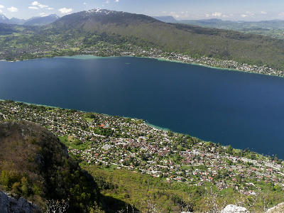
Mont Veyrier is a mountain ridge rising above Lake Annecy, forming a continuous elevated line along the edge of the lake. The ridge sits directly above the shoreline, creating a strong vertical relationship between foreground elevation and water below. The composition resolves through elevation and the alignment between the ridge, the lake, and the surrounding mountains.
45.90062, 6.18262
Gallery
Quick Facts
Access
Moderate Hike
90–180 min
Elevation Gain
400 m
Best Light
Low-angle light defines the ridge and lake below, casting shadows that separate terrain and enhance depth.
Why This Light
Season
Seasonally Distinct
Summer provides clear views across Lake Annecy with accessible trails along the ridge. Winter introduces snow and ice that can restrict access and alter surface conditions.
Crowds
Often Busy
Restrictions
Access is via hiking trails from multiple starting points; conditions vary with weather and season.