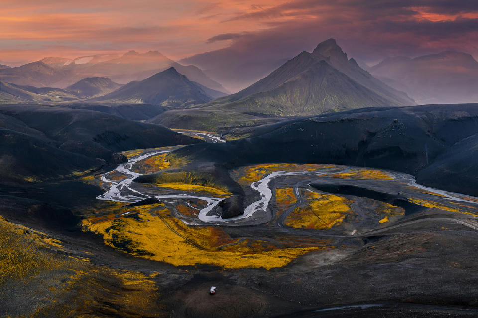
Aerial view over the braided river valley at Landmannalaugar in Iceland’s Highlands, with volcanic ridges, yellow moss fields, and evening light under layered clouds.
Landmannalaugar is a geothermal highland basin in central Iceland defined by multicoloured rhyolite mountains, lava fields, and hot springs. The landscape is structured by volcanic uplift, mineral alteration, and glacial erosion.
Gallery
Key POIs in Landmannalaugar
Nearby Places
View all on mapOverview
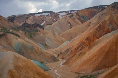
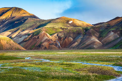
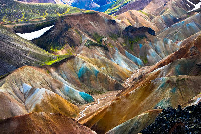
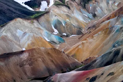
This area sits within Iceland’s interior Highlands where active volcanic systems intersect with geothermal activity. Rhyolite peaks display layered mineral tones formed by heat alteration and weathering. Obsidian lava flows and geothermal vents interrupt the surrounding mountain terrain, creating strong tonal and textural contrast. Relief is concentrated rather than expansive, forming a contained amphitheatre of ridges and valleys. Photography operates through colour variation, slope geometry, and steam movement rather than vertical scale. Diagonal ridgelines, dark lava foregrounds, and geothermal plumes provide structural anchors within the basin.
Key photography subjects
- Multicoloured rhyolite mountain ridges
- Geothermal steam vents within lava fields
- Obsidian lava flows contrasting with moss
- Layered mineral-toned slopes and valleys
- Contained highland basin framed by peaks
Workshops in Landmannalaugar
No upcoming workshops found in this area.
Browse all workshops →