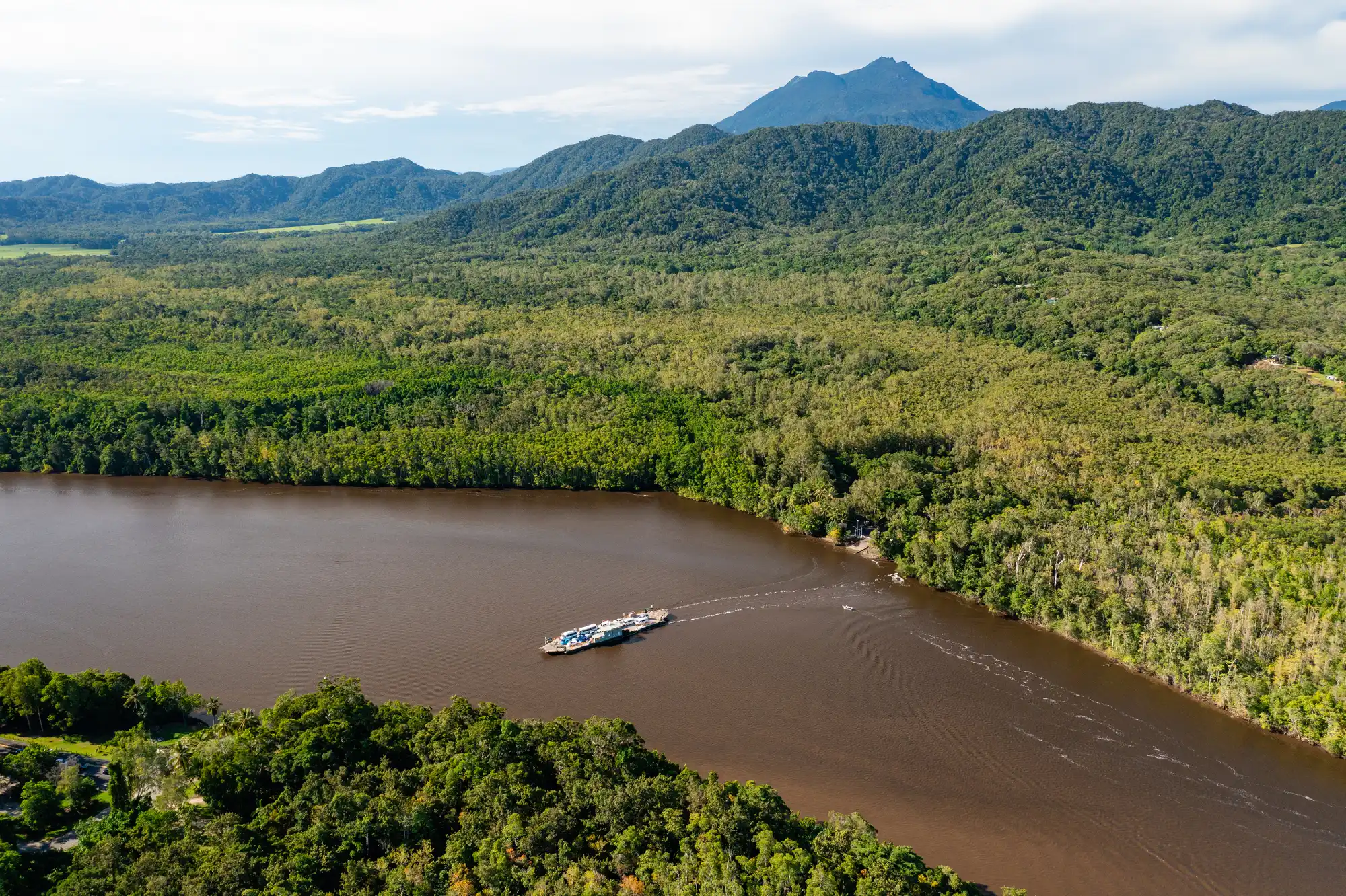
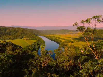
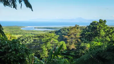
Aerial view of the Daintree River, Far North Queensland, Australia.
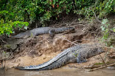
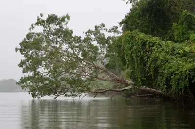
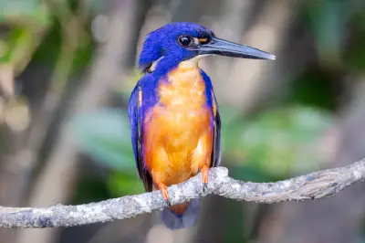
The Daintree River flows through the Wet Tropics of Far North Queensland, Australia, draining rainforest-covered ranges and lowlands before entering the Coral Sea near the Daintree coast. Its tidal lower reaches are lined with mangroves and estuarine vegetation, while the wider river system supports wildlife – including estuarine crocodiles and waterbirds. The river offers opportunities for photography from guided boats, with changing views of mangrove channels, forested banks, reflections, and wildlife.
-16.27419, 145.40514
Gallery
Quick Facts
Access
Roadside / Step-out
0–5 min
Elevation Gain
0 m
Best Light
Soft light retains detail in shaded mangroves, while calm water can reflect vegetation and riverbanks; direct sun creates stronger contrast.
Why This Light
Season
Seasonally Distinct
Summer falls within the wetter season, when heavier rainfall can increase river flow, deepen the green tones of the surrounding vegetation, and produce cloudier, more humid conditions. Winter is generally drier, with lower rainfall and potentially clearer conditions along the river, while mangroves and rainforest vegetation remain green.
Crowds
Busy Sunrise/Sunset
Restrictions
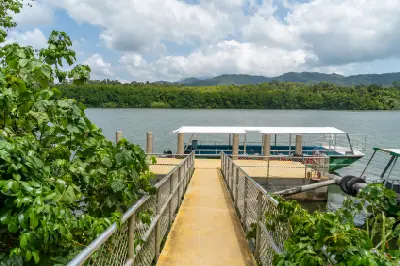
The river can be experienced from several locations, including Daintree Village and cruise departure points near the Daintree River ferry. Guided wildlife cruises provide access to sections of the river and its mangrove-lined channels; departure locations and routes differ by operator. The ferry crossing connects the southern Daintree region with the northern rainforest and Cape Tribulation. Check current operator arrangements and ferry status before travelling. Estuarine crocodiles occur in the river, so follow local safety advice and do not enter the water. Swimming is NOT recommended.