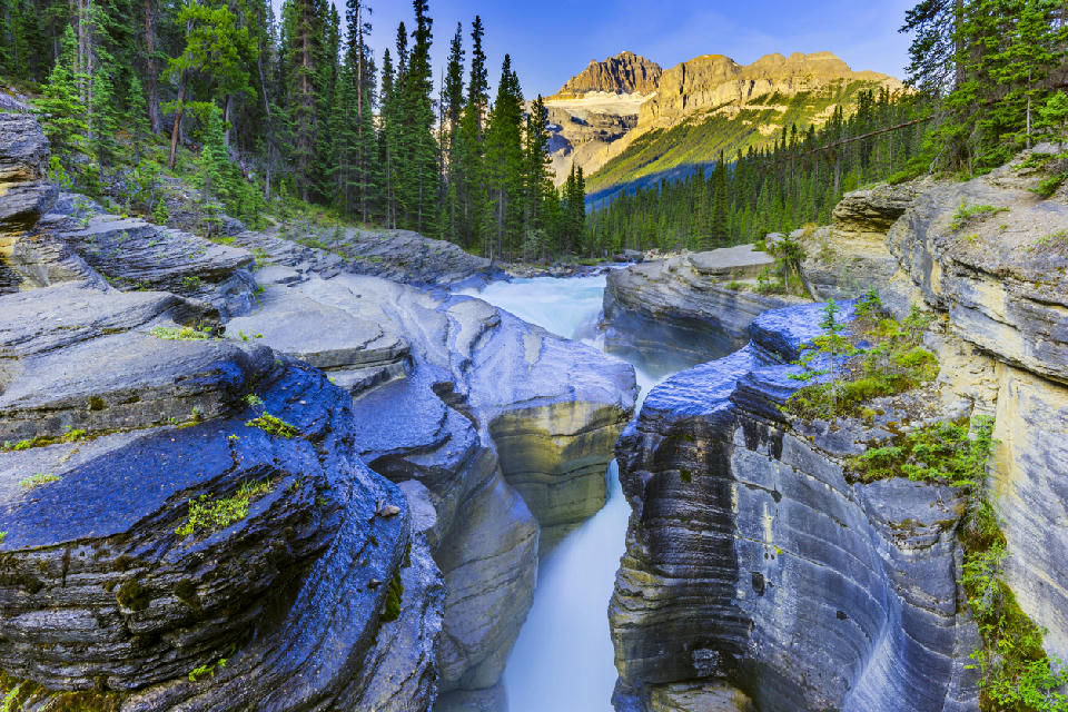
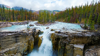
Mistaya Canyon carved into layered limestone by fast-flowing glacial meltwater, set among dense forest and mountain backdrops along the Icefields Parkway, Banff National Park, Canada
The Canadian Rockies is a major mountain region in western Canada defined by rugged alpine peaks, glacial valleys, and extensive freshwater lake systems. The range forms part of the North American Cordillera and extends along the border between Alberta and British Columbia. Its landscape is shaped by tectonic uplift and glacial erosion, producing steep mountain ridges and deep valleys. The terrain transitions between high mountain summits, glacier-fed valleys, alpine meadows, and forested slopes. Elevation rises sharply across the range, while lower terrain spreads into broad valleys containing lakes and river systems. Seasonal variation influences snow cover, vegetation patterns, and atmospheric clarity, contributing to changing contrast and surface texture throughout the year.
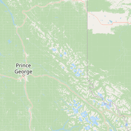
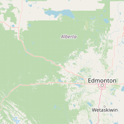
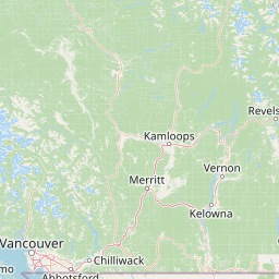
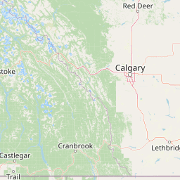
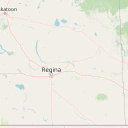
Structured Map of Canadian Rockies
A connected view of the landscape, organised by regions, areas, and key locations.
Pyramid Lake
water feature
Patricia Lake
water feature
Athabasca River
water feature
Medicine Lake
water feature
Jasper
area district
Valley of the Five Lakes
water feature
Mount Edith Cavell
landmark
Athabasca Falls
water feature
Maligne Lake
water feature
Spirit Island
landmark
Sunwapta Falls
water feature
Columbia Icefield
glacier
Icefields Parkway
area district
Mistaya Canyon
water feature
Waterfowl Lakes
water feature
Peyto Lake
water feature
Bow Lake
water feature
Crowfoot Glacier
glacier
Yoho Valley
landmark
Takakkaw Falls
water feature
Emerald Lake
water feature
Wapta Falls
water feature
Yoho
area district
Moraine Lake
water feature
Herbert Lake
water feature
Lake Louise
water feature
Castle Mountain
landmark
Bow River
water feature
Johnston Canyon
water feature
Banff & Lake Louise
area district
Lake Minnewanka
water feature
Two Jack Lake
water feature
Vermilion Lakes
water feature
Bow Falls
water feature
Sulphur Mountain
landmark
Mount Rundle
landmark
Barrier Lake
water feature
Spray Lakes
water feature
Kananaskis
area district
Peter Lougheed Provincial Park
landmark
Lower Kananaskis Lake
water feature
Upper Kananaskis Lake
water feature
Natural Bridge
landmark
Areas in Canadian Rockies
Gallery
Overview
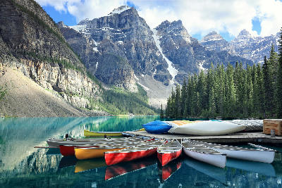
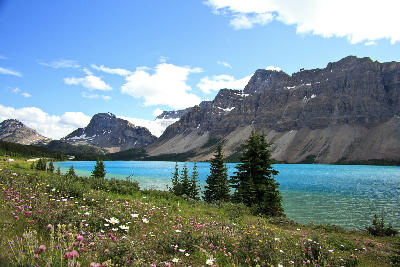
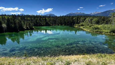
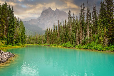
The Canadian Rockies form a continuous mountain system structured by folded and faulted rock layers uplifted over millions of years. Glacial processes carved many of the defining features, including U-shaped valleys, cirques, and moraine landscapes. Large glacier-fed lakes occupy valley basins, while rivers flow through mountain corridors toward surrounding plains. Forested slopes cover much of the lower elevations, transitioning into alpine terrain at higher altitudes. The visual structure of the region is defined by the contrast between sharp mountain peaks, turquoise glacial lakes, and surrounding forested valleys, producing layered compositions across alpine landscapes.
Key photography subjects
- Jagged alpine peaks and mountain ridgelines
- Turquoise glacier-fed lakes within valley basins
- Glacial valleys and moraine landscapes
- Forested slopes and alpine meadows
- Rocky mountain passes and high elevation terrain
- River systems flowing through mountain corridors
- Seasonal snow, autumn colour, and alpine light
Workshops in Canadian Rockies
No upcoming workshops scheduled for Canadian Rockies at this time.
Check back soon or explore other destinations.