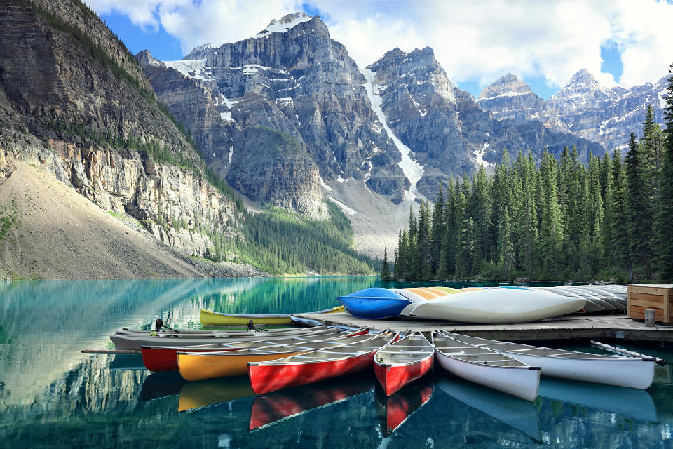
Canoes rest along the shoreline of Moraine Lake beneath the Valley of the Ten Peaks in Banff National Park
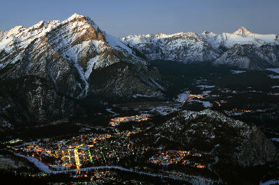
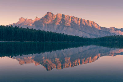
Banff and Lake Louise form a high alpine region within the Canadian Rockies defined by glaciated peaks, steep valleys, and prominent freshwater lake systems. The area lies within Banff National Park, where mountain ranges, glaciers, and river systems shape a rugged alpine landscape. Large lakes sit within valley basins beneath surrounding peaks and ridgelines. The terrain transitions between high mountain summits, glacier-fed valleys, forested slopes, and lake-filled basins. Elevation rises sharply across the region, while valley floors provide corridors for rivers, lakes, and limited settlement. Seasonal variation influences snow cover, lake colour, vegetation patterns, and atmospheric clarity, contributing to changes in surface texture and tonal contrast throughout the year.
Gallery
Key POIs in Banff & Lake Louise
Bow Falls
water feature — 44.7 km
Bow River
water feature — 23.9 km
Castle Mountain
landmark — 19.0 km
Johnston Canyon
water feature — 28.7 km
Lake Louise
water feature — 19.0 km
Lake Minnewanka
water feature — 42.1 km
Moraine Lake
water feature — 26.5 km
Mount Rundle
landmark — 52.3 km
Sulphur Mountain
landmark — 49.0 km
Two Jack Lake
water feature — 42.3 km
Vermilion Lakes
water feature — 41.9 km
Nearby Places
View all on mapIcefields Parkway
area district — 20.5 km
Canadian Rockies
Herbert Lake
water feature — 20.8 km
Canadian Rockies
Takakkaw Falls
water feature — 37.8 km
Canadian Rockies
Crowfoot Glacier
glacier — 38.1 km
Canadian Rockies
Yoho Valley
landmark — 39.1 km
Canadian Rockies
Bow Lake
water feature — 40.5 km
Canadian Rockies
Emerald Lake
water feature — 42.2 km
Canadian Rockies
Yoho
area district — 42.9 km
Canadian Rockies
Overview
The Banff and Lake Louise region is structured around a network of mountain ranges and glacial valleys formed through tectonic uplift and glacial erosion. These processes created steep peaks, U-shaped valleys, and extensive moraine landscapes. Glaciers and snowfields occupy higher elevations, feeding rivers and lakes that fill valley basins. Forested slopes cover much of the lower terrain, while alpine environments dominate upper elevations. The visual structure of the region is defined by the contrast between sharp mountain peaks, turquoise glacial lakes, and surrounding forested valleys, producing layered compositions across alpine landscapes.
Key photography subjects
- Jagged alpine peaks and mountain ridgelines
- Turquoise glacier-fed lakes within valley basins
- Glacial valleys and moraine landscapes
- Forested slopes and alpine terrain
- Rocky passes and high elevation viewpoints
- River systems flowing through mountain corridors
- Seasonal snow, autumn colour, and alpine light
Workshops in Banff & Lake Louise
No upcoming workshops scheduled for Banff & Lake Louise at this time.
Check back soon or explore other destinations.