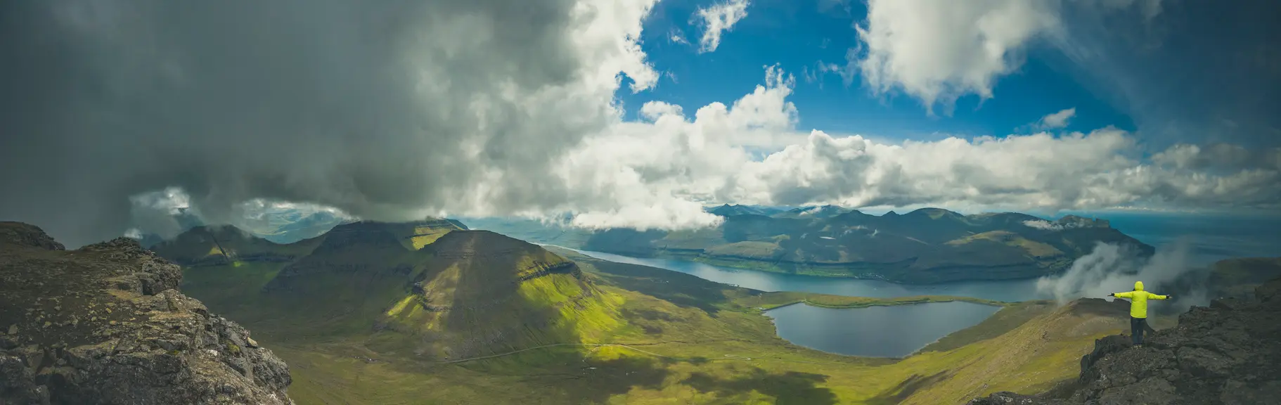
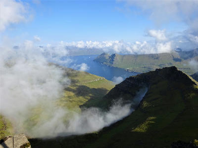
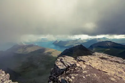
Summit view from Slættaratindur, the highest mountain in the Faroe Islands, overlooking fjords and mountain ridges on Eysturoy.
Slættaratindur is the highest mountain in the Faroe Islands, rising above northern Eysturoy. The summit forms a broad plateau with steep descending ridgelines and panoramic views across multiple islands. The composition resolves through layered mountain silhouettes, fjord inlets, and expansive sky separation.
62.29672, -7.01320
Gallery
Quick Facts
Access
Moderate Hike
45–90 min
Elevation Gain
450 m
Best Light
Light works best when low or broken through cloud because it separates layered ridgelines and increases atmospheric depth between islands.
Why This Light
Season
Weather-Dependent
The summit structure remains consistent year-round, but visibility and cloud movement significantly affect depth layering and island separation.
Crowds
Usually Quiet
Restrictions
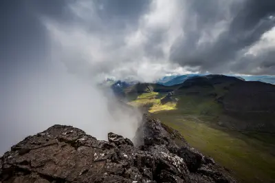
Open summit conditions are fully exposed to wind and rapid weather shifts. Trail sections can be muddy and steep.