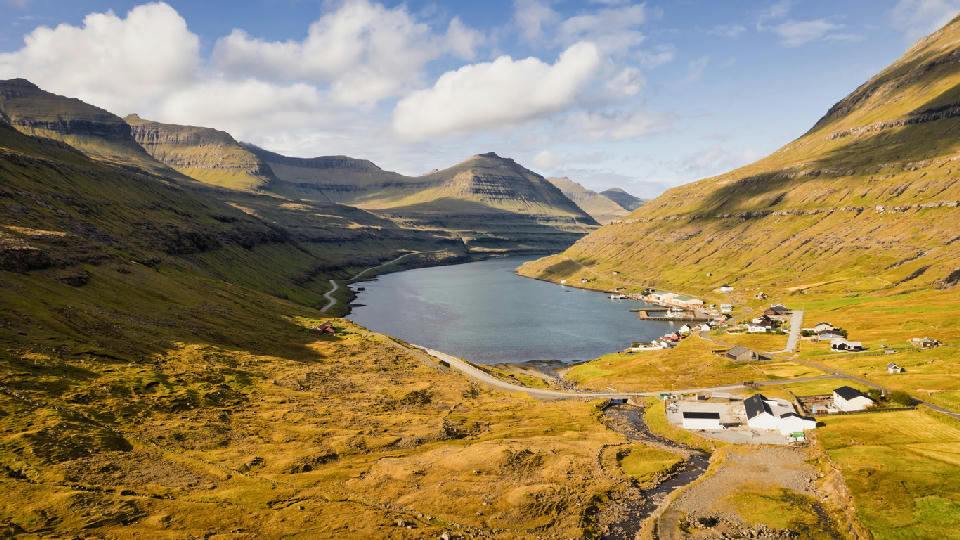
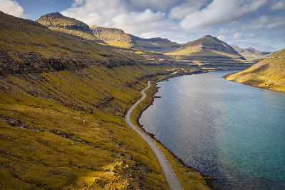
Aerial view of Funningsfjørður fjord and village on Eysturoy, Faroe Islands.
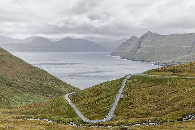
Funningsfjørður is a long, narrow fjord cutting into the northeast side of Eysturoy. Steep, grass-covered slopes descend directly to the water, forming strong linear valley geometry. The composition resolves through fjord depth, repeating ridge layers, and horizontal water separation.
62.23649, -6.93152
Gallery
Quick Facts
Access
Short Walk
5–15 min
Elevation Gain
20 m
Best Light
Light works best when low or broken through cloud because it separates layered ridgelines and increases depth across the fjord.
Why This Light
Season
Weather-Dependent
Topography remains stable year-round, but visibility and fjord depth perception are strongly influenced by cloud ceiling and wind conditions.
Crowds
Usually Quiet