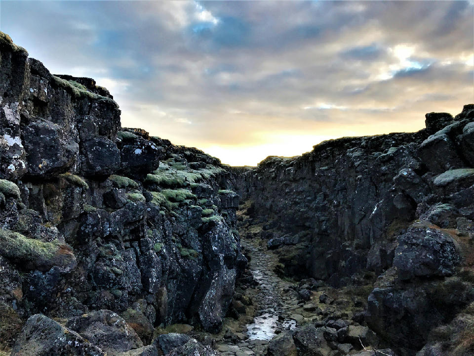
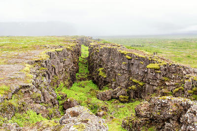
The tectonic rift at Þingvellir National Park in southwest Iceland, where the North American and Eurasian plates slowly drift apart.
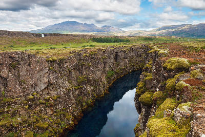
Þingvellir Rift Valley (Almannagjá) is a tectonic rift located within Þingvellir National Park in southwest Iceland. The fissure forms a dramatic corridor of basalt walls created by the separation of the North American and Eurasian plates. Its vertical rock faces and linear depth create strong structural contrast within the surrounding volcanic landscape.
64.25590, -21.12900
Gallery
Quick Facts
Access
Short Walk
5–15 min
Elevation Gain
100 m
Best Light
Light works best when low-angle sun defines the basalt walls because side illumination increases texture and depth within the fissure.
Season
Year-Round Stable
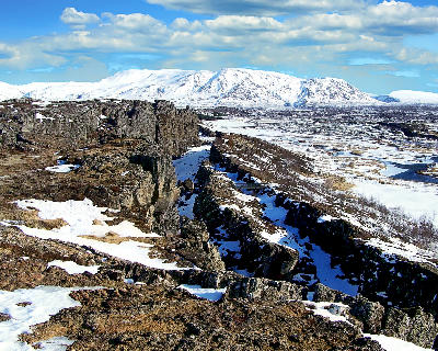
In summer, extended daylight allows continuous movement along maintained paths within the fissure. In winter, snow and ice modify surface texture and footing while preserving access.
Crowds
Often Busy