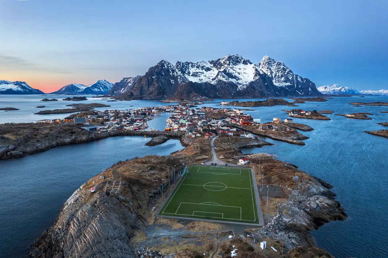
Henningsvær on Austvågøya in the Lofoten Islands, Nordland, Norway, with its iconic football field on a rocky islet at dusk.
Austvågøya is the easternmost major island in the Lofoten archipelago in northern Norway. The island is defined by steep alpine peaks rising directly from fjords and open sea, creating compressed vertical relief and strong coastal layering.
Gallery
Key POIs in Austvågøya
Nearby Places
View all on mapOverview
Austvågøya is structured by a chain of sharply ridged mountains running roughly southwest to northeast, intersected by narrow fjords and sheltered inlets. Settlements cluster along fjord edges and coastal shelves where terrain briefly flattens before rising abruptly into rock walls and serrated skylines. Photographically, the island operates as a system of vertical mass against water. Compositions are built from fjord depth, foreground shoreline texture, and stacked ridgelines. Elevation shifts dramatically alter peak overlap and horizon separation, making viewpoint selection critical to maintaining structural clarity.
Key photography subjects
- Alpine peaks rising from fjord edges
- Narrow fjord corridors with layered ridges
- Coastal inlets framed by steep slopes
- Village clusters beneath sharp skylines
- Ocean-facing headlands with mountain backdrop
Workshops in Austvågøya
No upcoming workshops found in this area.
Browse all workshops →